MyTopo
Classic USGS Coaling Alabama 7.5'x7.5' Topo Map
Couldn't load pickup availability
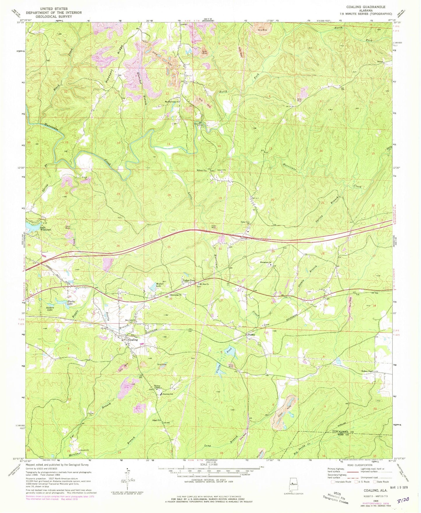
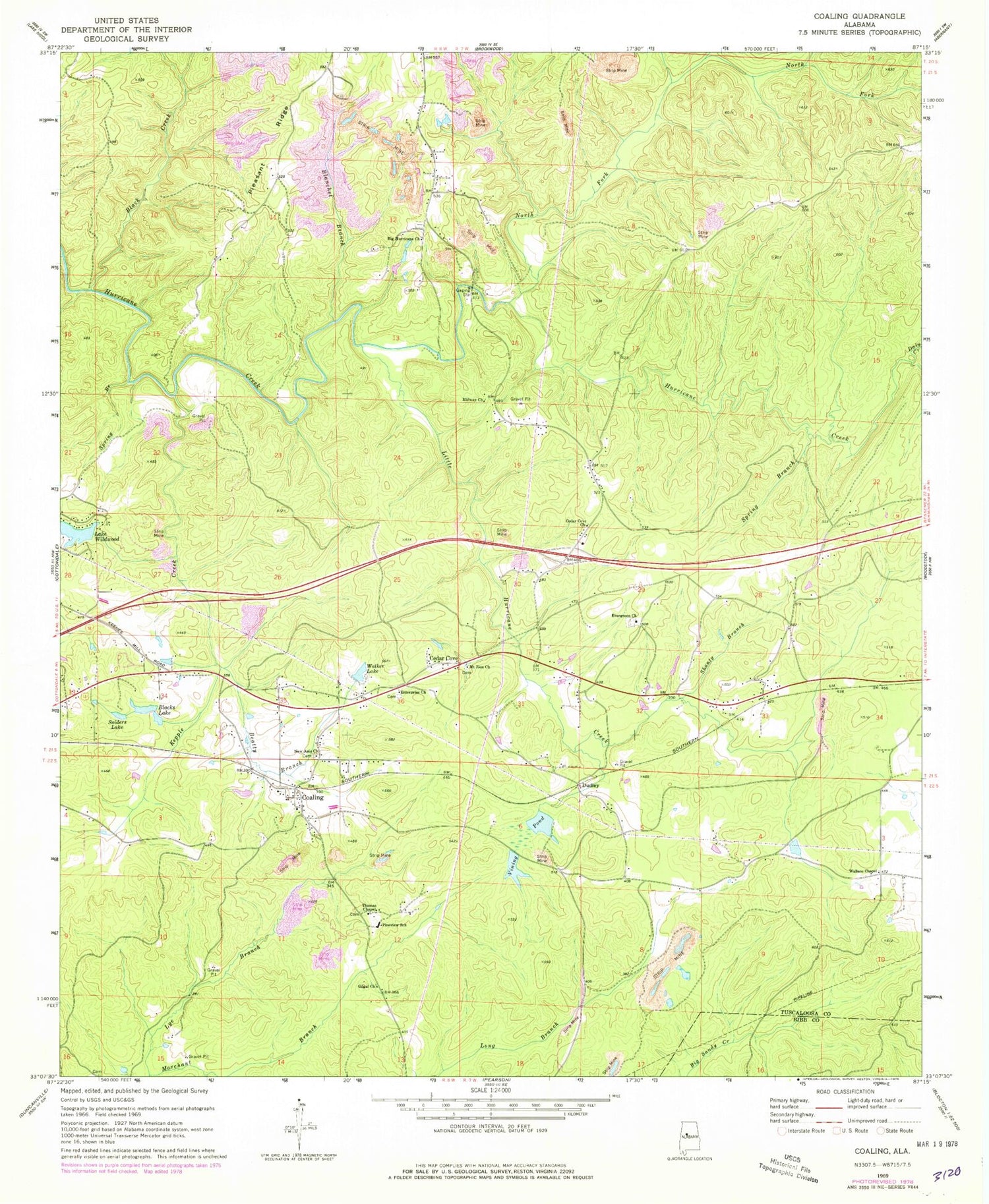
Historical USGS topographic quad map of Coaling in the state of Alabama. Map scale may vary for some years, but is generally around 1:24,000. Print size is approximately 24" x 27"
This quadrangle is in the following counties: Bibb, Tuscaloosa.
The map contains contour lines, roads, rivers, towns, and lakes. Printed on high-quality waterproof paper with UV fade-resistant inks, and shipped rolled.
Contains the following named places: Beatty Branch, Bethel School, Big Hurricane Baptist Cemetery, Big Hurricane Church, Black Creek, Blacks Lake, Blanchet Branch, Boyds Crossing, Cedar Cove, Cedar Cove Church, Clements, Clements Station, Coaling, Coaling Baptist Church, Coaling Cemetery, Coaling Fire Department Station 1, Coaling Fire Department Station 2, Coaling Post Office, Coaling United Methodist Church, Coaling-Vance Division, Cones Mill, Coxs Mill, Daly Creek, Dudley, Dudley Station, Emery Church, Enterprise Baptist Church, Enterprise Baptist Church Cemetery, Evergreen Baptist Church, Evergreen Baptist Church Cemetery, Flatwood Church, Fleming, Gilgal Church, Gilmore Mine, Hurricane Creek Pit Mine, Hurricane School, Jemison Mill Creek, Jimy Creek, Kepple Creek, Lake Wildwood, Lake Wildwood Dam, Little Hurricane Creek, Marchant Branch, Midway Church, Mount Calvary School, Mount Zion Cemetery, Mount Zion Church, New Asia Baptist Church Cemetery, New Asia Missionary Baptist Church, North Fork Hurricane Creek, Pineview School, Pleasant Ridge, Pleasant Ridge Church, Rock Bluff Church, Shanty Branch, Sniders Lake, Spring Branch, Thomas Chapel, Thomas Chapel Cemetery, Town of Brookwood, Town of Coaling, Toxeys Spring Branch, Tuscaloosa Fire Rescue Station 11, Tuscaloosa Quarry, Vance Volunteer Fire Department Station 2, Vining Pond, Vining Pond Dam, Walker Lake, Wallace Chapel, Ward Cemetery, Wards Mill, Weldon Creek


