MyTopo
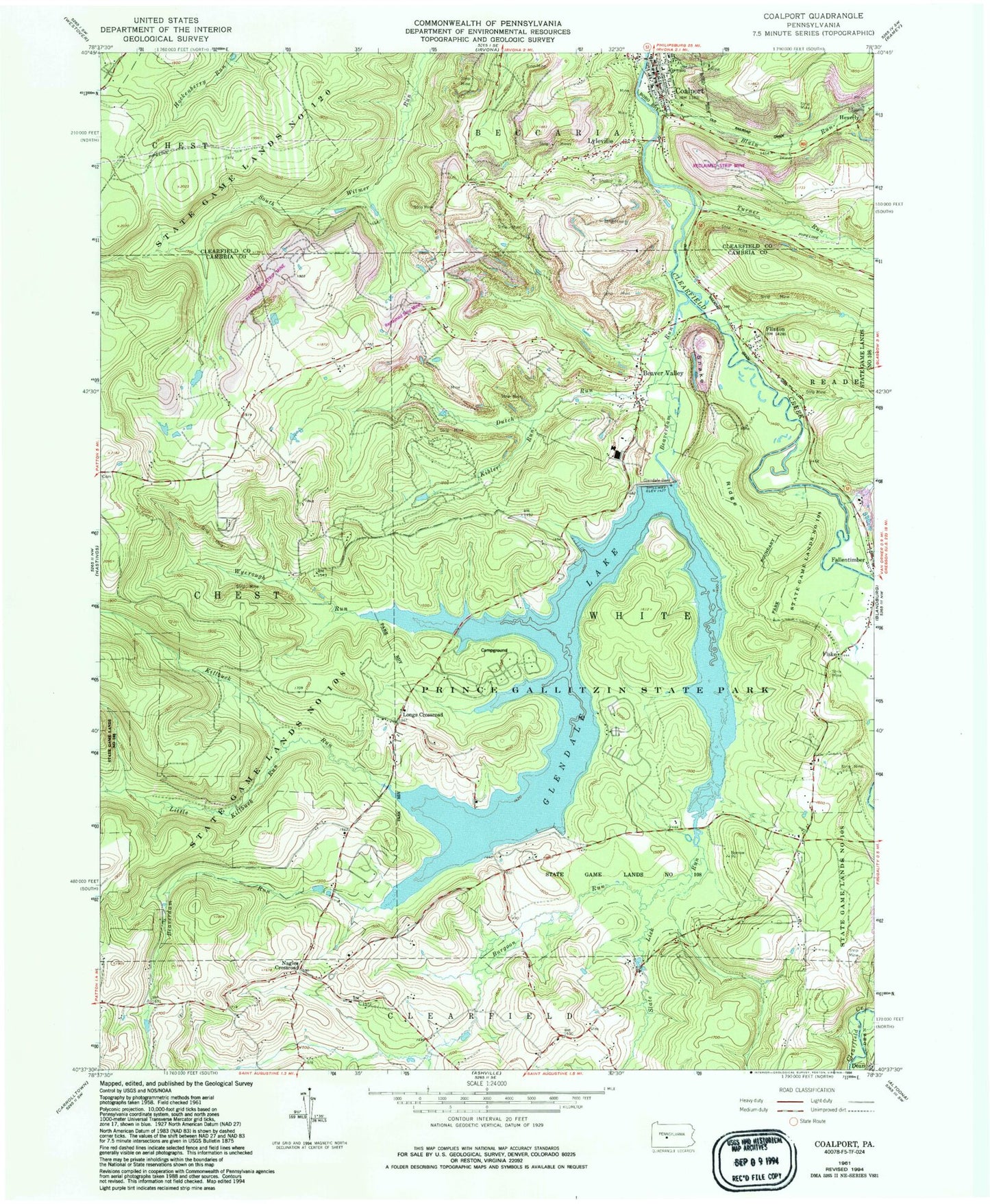
Classic USGS Coalport Pennsylvania 7.5'x7.5' Topo Map
Couldn't load pickup availability
Historical USGS topographic quad map of Coalport in the state of Pennsylvania. Typical map scale is 1:24,000, but may vary for certain years, if available. Print size: 24" x 27"
This quadrangle is in the following counties: Cambria, Clearfield.
The map contains contour lines, roads, rivers, towns, and lakes. Printed on high-quality waterproof paper with UV fade-resistant inks, and shipped rolled.
Contains the following named places: Blain Run, Burgoon Run, Coalport, Flinton, Fiske, Glendale Dam, Glendale Lake, Kibler Run, Killbuck Run, Little Killbuck Run, Lyleville, Prince Gallitzin State Park, Slate Lick Run, Snake Ridge, State Game Lands Number 108, State Game Lands Number 120, Turner Run, Wyerough Run, Dutch Run, Heverly, Longs Crossroad, Nagles Crossroad, Irvona Bridge, Shelton Hill Cemetery, Beaver Valley, Beaverdam Run, Borough of Coalport, Township of Chest, Township of White, Barnhart Airport, Glendale Volunteer Fire Department Engine Company Station 28, Coalport Post Office, Fallentimber Post Office, Flinton Post Office, Saint Lawrence Cemetery, Beaver Valley Cemetery


