MyTopo
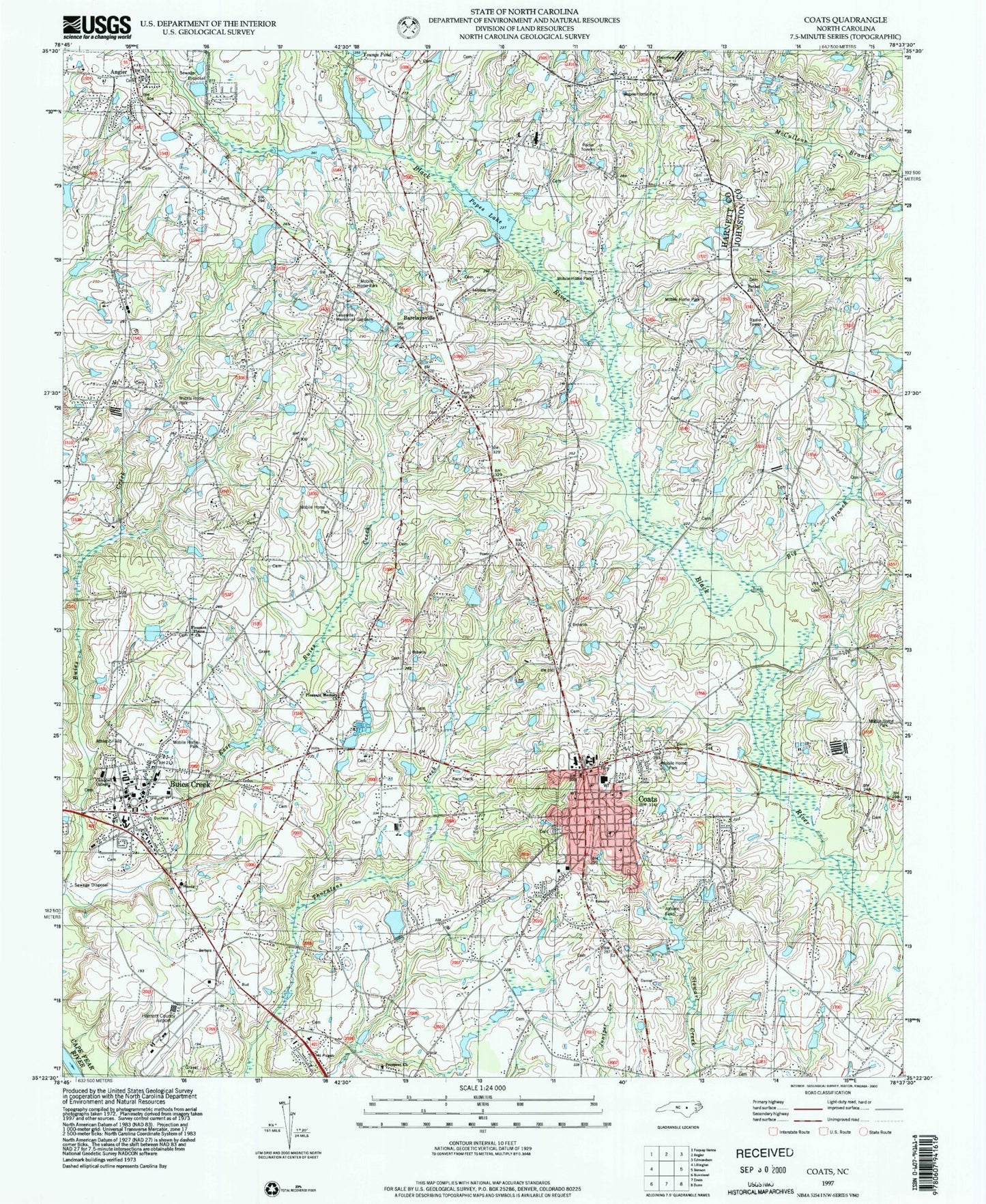
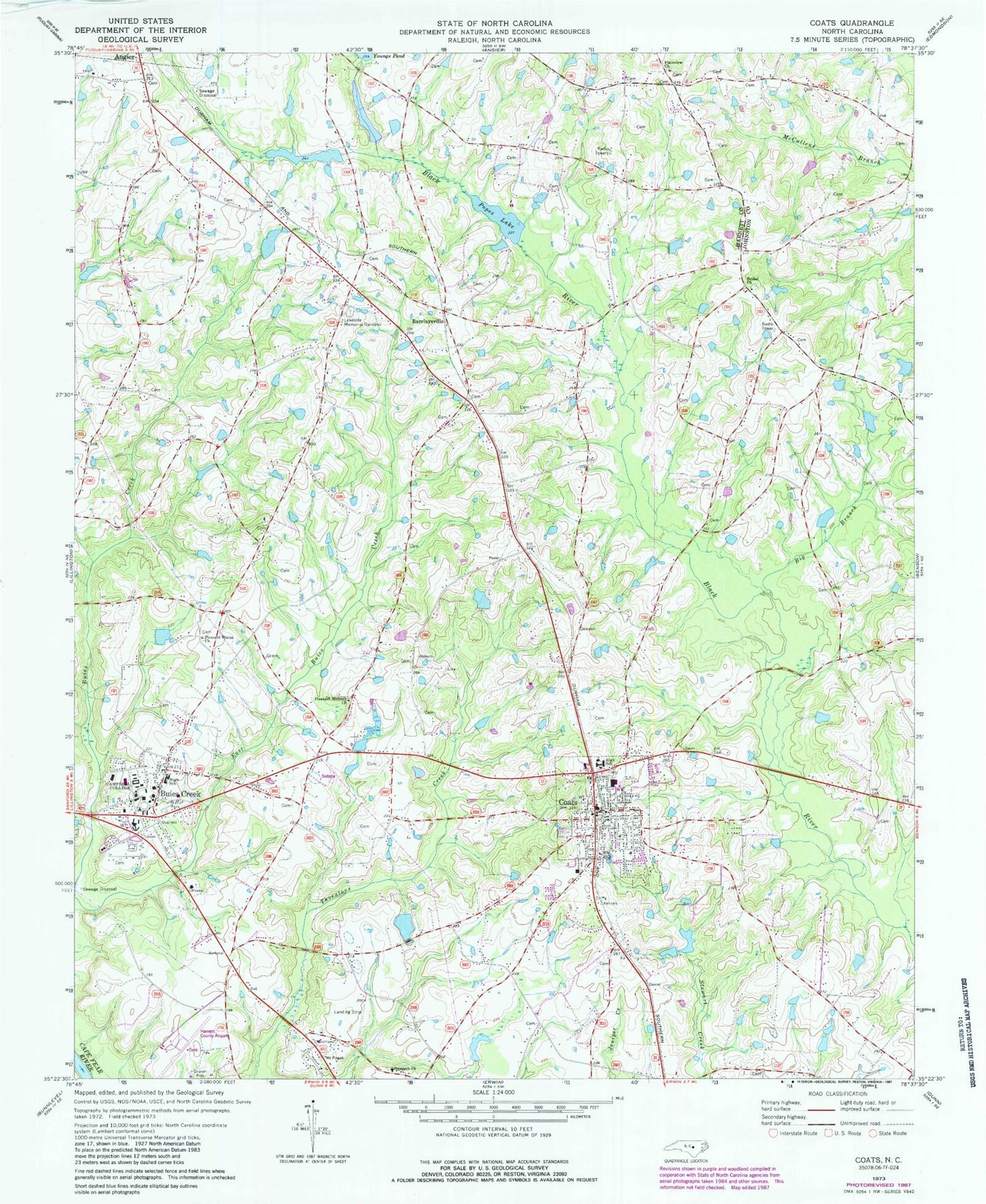
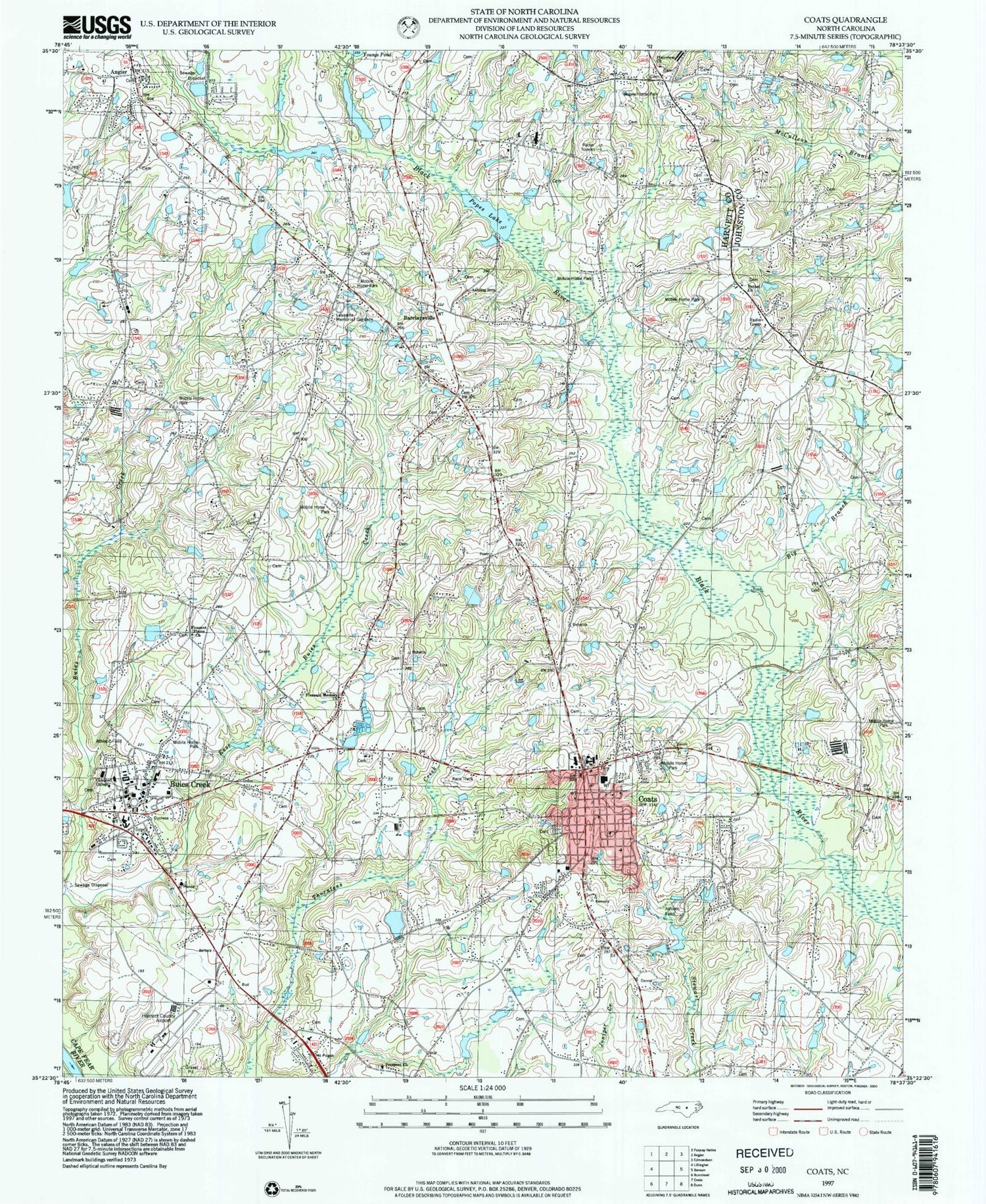
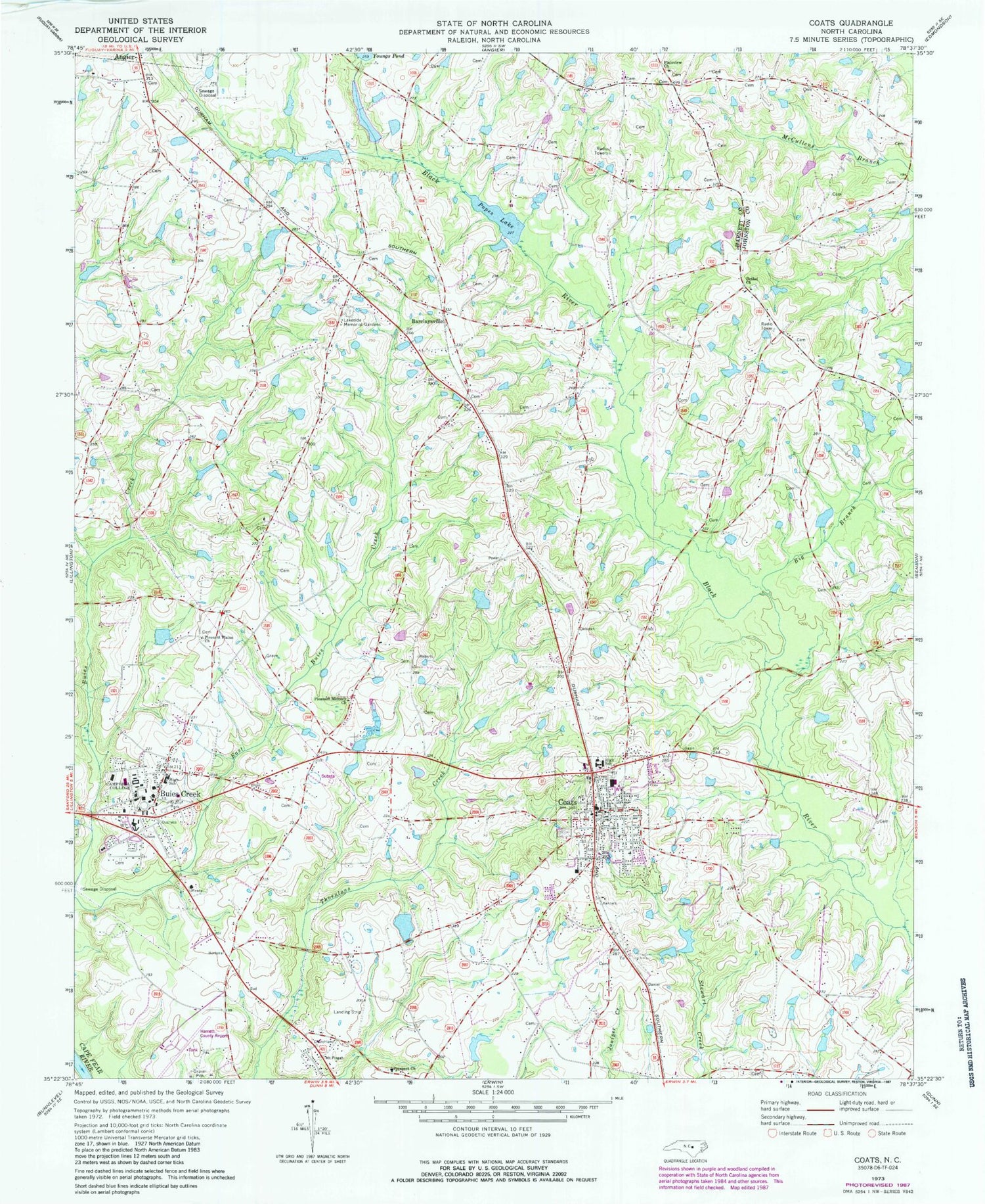
Classic USGS Coats North Carolina 7.5'x7.5' Topo Map
Couldn't load pickup availability
Historical USGS topographic quad map of Coats in the state of North Carolina. Map scale may vary for some years, but is generally around 1:24,000. Print size is approximately 24" x 27"
This quadrangle is in the following counties: Harnett, Johnston.
The map contains contour lines, roads, rivers, towns, and lakes. Printed on high-quality waterproof paper with UV fade-resistant inks, and shipped rolled.
Contains the following named places: Bakers Pond, Bakers Pond Dam, Barclaysville, Barclaysville Field, Bethel Church, Big Branch, Buies Creek, Buies Creek Census Designated Place, Buies Creek Elementary School, Buies Creek Post Office, Buies Creek Volunteer Fire Department, C A G Farms Airport, Campbell University, Chesterfield Lake, Chesterfield Lake Dam, Coats, Coats Elementary School, Coats Grove Fire and Rescue Department, Coats Police Department, Coats Post Office, Dushee Shaw Halfway House, East Buies Creek, Gregorys Lake, Gregorys Lake Dam, Guys Pond, Guys Pond Dam, Harnett County Emergency Medical Service, Harnett Regional Jetport, Holts Lake, Lakeside Memorial Gardens, Norman Urquhart Gristmill, Plainview Church, Pleasant Memory Church, Pleasant Plains Church, Popes Lake, Popes Lake Dam, Prospect Church, Stewart Airport, Town of Coats, Township of Black River, Township of Grove, WCCE-FM (Buies Creek), ZIP Codes: 27501, 27521


