MyTopo
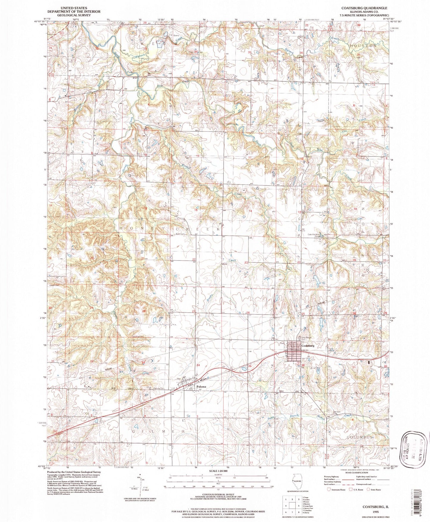
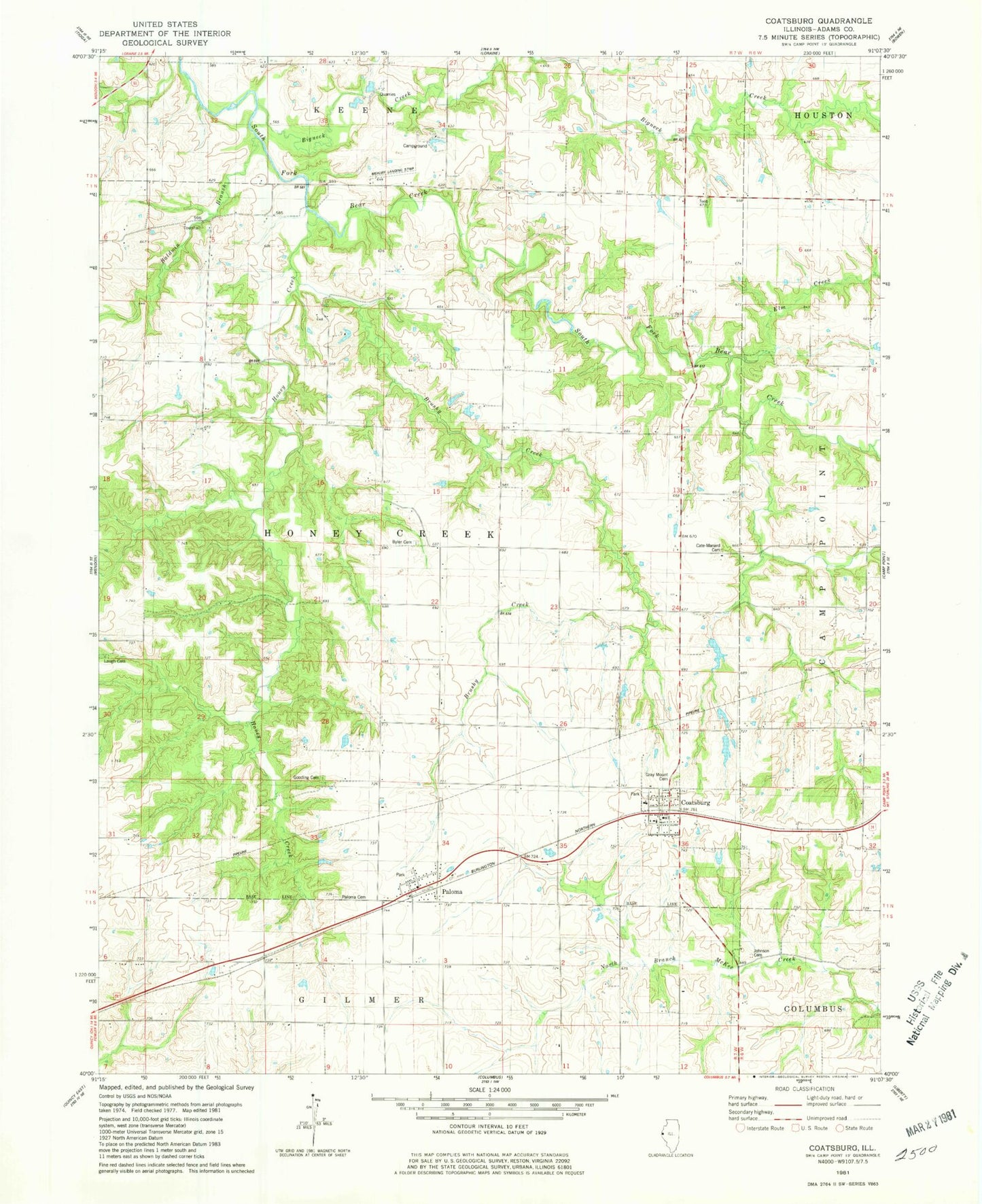
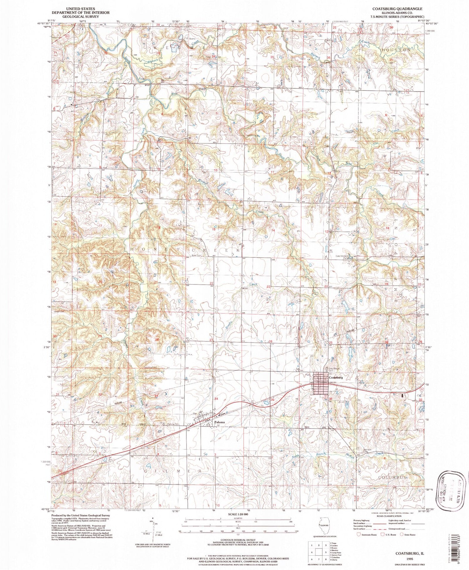
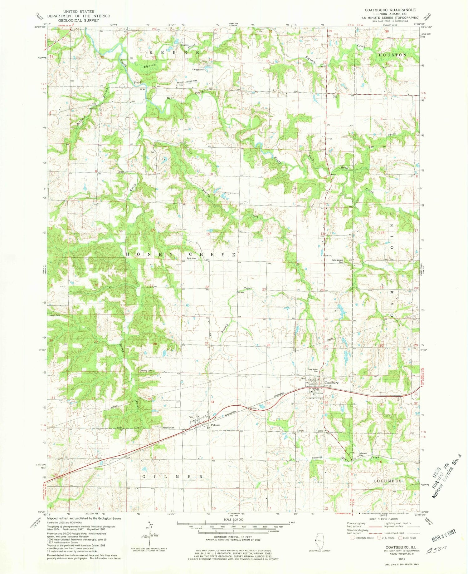
Classic USGS Coatsburg Illinois 7.5'x7.5' Topo Map
Couldn't load pickup availability
Historical USGS topographic quad map of Coatsburg in the state of Illinois. Map scale may vary for some years, but is generally around 1:24,000. Print size is approximately 24" x 27"
This quadrangle is in the following counties: Adams.
The map contains contour lines, roads, rivers, towns, and lakes. Printed on high-quality waterproof paper with UV fade-resistant inks, and shipped rolled.
Contains the following named places: Adams County Farm, Baldwin Branch, Bigneck Creek, Brushy Creek, Brushy School, Byler Cemetery, Byler Cemetery Savanna Nature Preserve, Cate Family Cemetery, Center School, Central Adams County Fire Protection District, Coatsburg, Coffield School, Elm Creek, Glenwood School, Gooding Cemetery, Gray Mound Cemetery, Hog Branch, Honey Creek, Johnson Cemetery, Laugh Cemetery, Loraine Quarry, Lubbert Farm, Mealiff Landing Strip, Morton School, Mount Vernon School, Oakwood School, Paloma, Paloma Cemetery, Paloma Census Designated Place, Paloma Post Office, Paloma United Methodist Church, Richland School, Rocky Hill School, Saint Peters Lutheran Church, Township of Honey Creek, Village of Coatsburg, ZIP Codes: 62325, 62359


