MyTopo
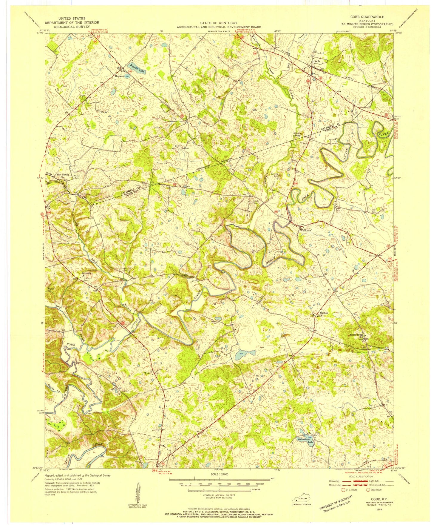
Classic USGS Cobb Kentucky 7.5'x7.5' Topo Map
Couldn't load pickup availability
Historical USGS topographic quad map of Cobb in the state of Kentucky. Map scale may vary for some years, but is generally around 1:24,000. Print size is approximately 24" x 27"
This quadrangle is in the following counties: Caldwell, Trigg.
The map contains contour lines, roads, rivers, towns, and lakes. Printed on high-quality waterproof paper with UV fade-resistant inks, and shipped rolled.
Contains the following named places: Bethesda Church, Blue Spring Branch, Blue Spring Missionary Baptist Church, Brushy Grove Creek, Burns Creek, Cerulean Division, Cobb, Dry Creek, Hammond Lake, Hanberry Cemetery, Hardiman - Dunning Cemetery, Hopson, Hopson Lake, Jesse Adams Cemetery, Kelly Cemetery, Kenady Cemetery, Kenady Creek, Larkins Cemetery, Long Pond Branch, Martin Spring, Merrick Cemetery, Millwood Creek, Minton Cemetery, Mount Zion Methodist Church, Nabb Cemetery, Rocky Ridge Baptist Church, Shelly Creek, Sugar Jim Mitchell Cemetery, Wall Cemetery, Wallonia, WBZD-FM (Cadiz), WKDZ-AM (Cadiz)