MyTopo
Classic USGS Cobhill Kentucky 7.5'x7.5' Topo Map
Couldn't load pickup availability
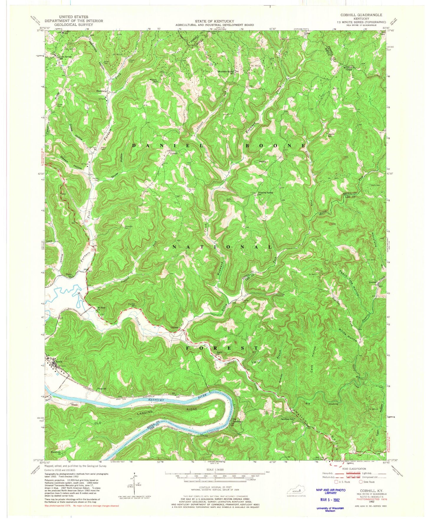
Historical USGS topographic quad map of Cobhill in the state of Kentucky. Typical map scale is 1:24,000, but may vary for certain years, if available. Print size: 24" x 27"
This quadrangle is in the following counties: Estill, Lee, Powell.
The map contains contour lines, roads, rivers, towns, and lakes. Printed on high-quality waterproof paper with UV fade-resistant inks, and shipped rolled.
Contains the following named places: Mackey Cemetery, Armine Branch, Arthur Cemetery, Big Sinking Creek, Billey Fork, Buck Creek, Cave Hollow, Cobhill, Crowe Cemetery, Crowe Hollow, Crystal, Dickerson Cemetery, Dripping Spring School, Durbin School, Eager Church, Evans Fork, Fitchburg, Furnace Fork, Greeley, Gross Cemetery, Gum Springs School, Hall School, Hatton Hollow, Horn Cemetery, Howell Cemetery, Old Landing Ridge, Little Sinking Creek, Long Branch, Macedonia Church, Mount Sinai Christian Church, Mountain Chapel, Mountain Spring School, Needmore Hollow, Old Landing, Patsey, Peach Tree Hollow, Pilot, Pinnacle School, Pryse, Reynolds Fork, Sandfield School, Shade, Shuler Hollow, Smyth Cemetery, Sparks School, Stewart Fork, Stewart Hollow, Sudders Fork, Texola, Thacker Cemetery, Tipton School, Town Hollow, Watson School, White Hollow, Wodward Creek, Pryse School, Shuler Cemetery, Bear Track Lookout Tower, Ravenna Division, Mount Sinai Cemetery, Vanderpool Cemetery, Gum Springs Church, Odas Railroad Station (historical), Aldersgate Camp and Retreat Center, Cane Springs (historical), Macedonia (historical), Tipton (historical), Watson (historical), Cedar Grove Post Office (historical), Cobb Hill Post Office (historical), Fitchburg Post Office (historical), Mountain Spring Post Office (historical), Patsey Post Office (historical), Pilot Post Office (historical), Radical Post Office (historical), Watson Ridge, Woodward Ridge, Beech Grove School (historical), Fitchburg School (historical), Cobb Hill, Shade Post Office (historical), Wild Flower Ridge, Coal Cemetery, Mountain Spring (historical), Sparks (historical), Cob Hill Volunteer Fire Department, Red River Iron Works Historical Marker, Eager Church Cemetery


