MyTopo
Classic USGS Coble Mountain California 7.5'x7.5' Topo Map
Regular price
$16.95
Regular price
Sale price
$16.95
Unit price
per
Couldn't load pickup availability
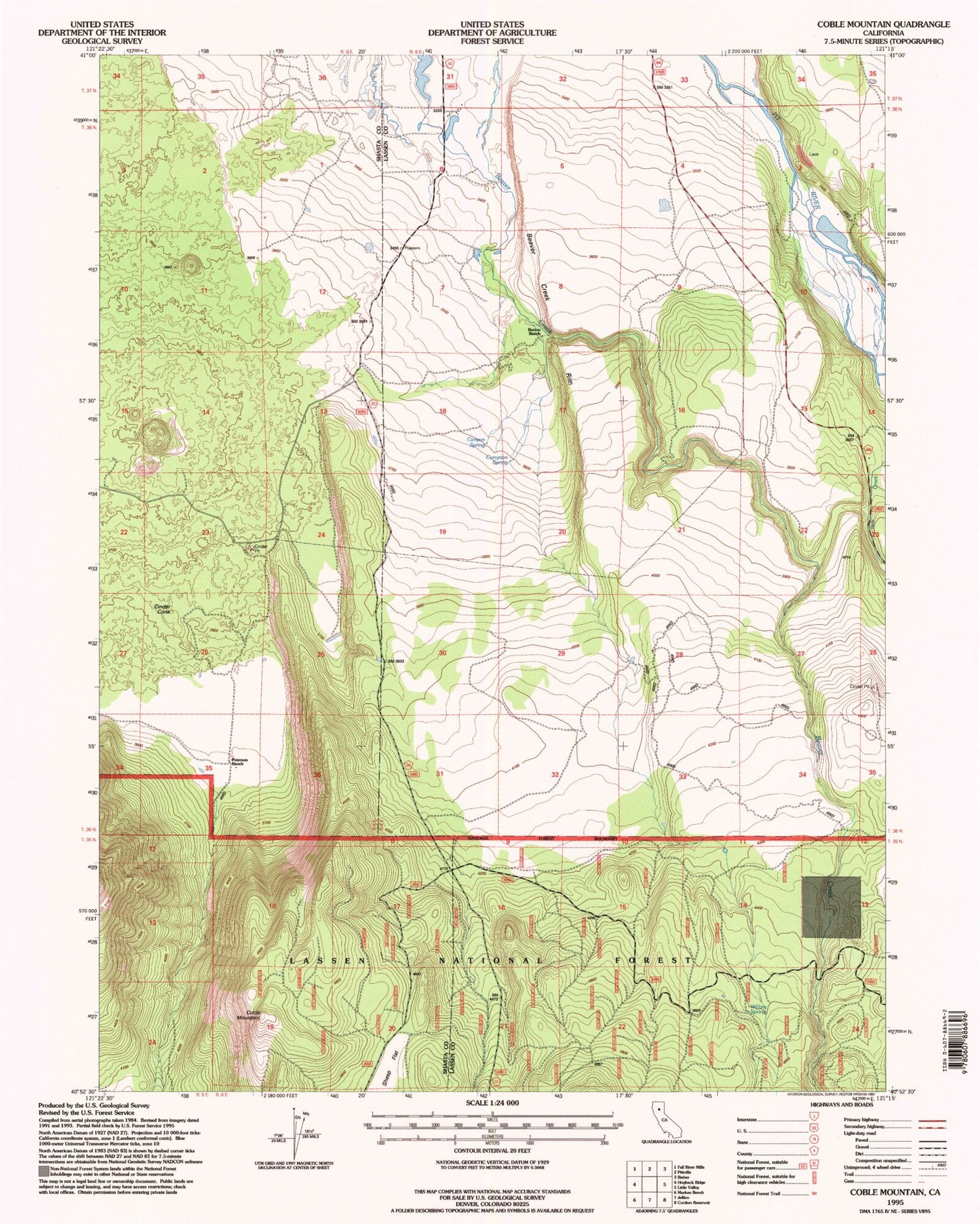
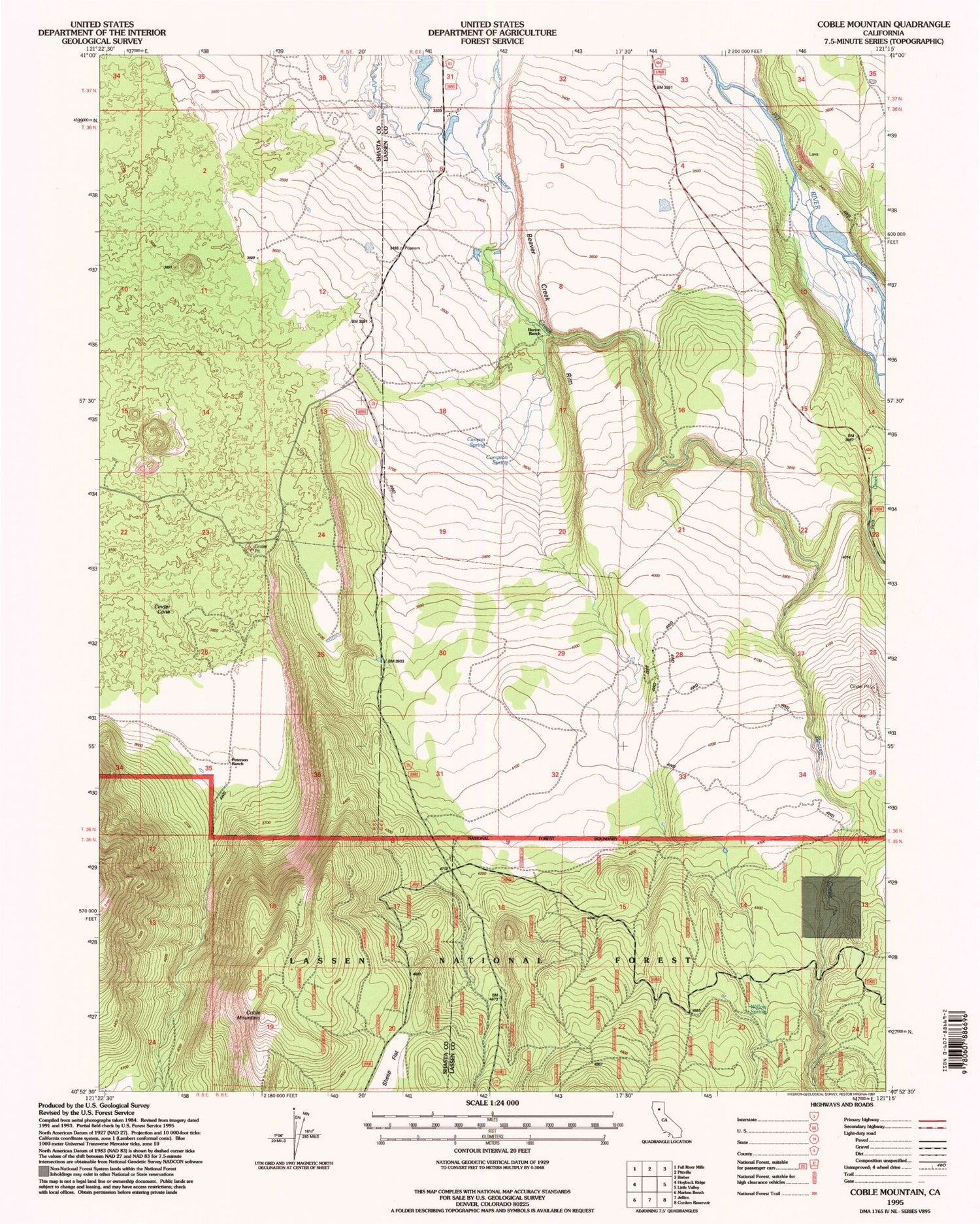
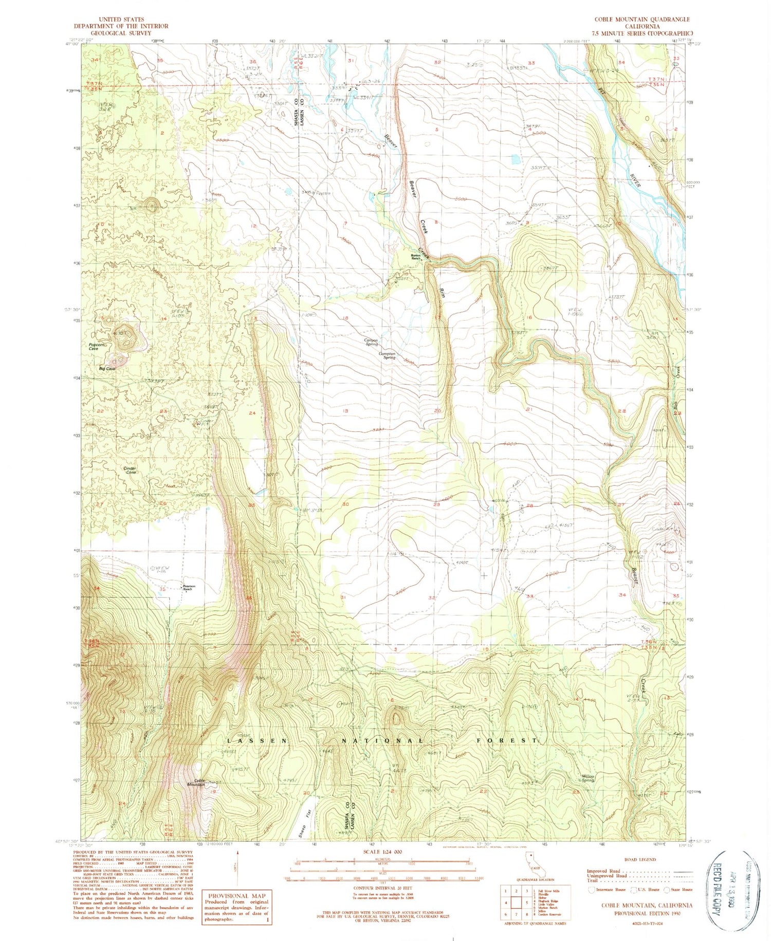
Historical USGS topographic quad map of Coble Mountain in the state of California. Map scale may vary for some years, but is generally around 1:24,000. Print size is approximately 24" x 27"
This quadrangle is in the following counties: Lassen, Shasta.
The map contains contour lines, roads, rivers, towns, and lakes. Printed on high-quality waterproof paper with UV fade-resistant inks, and shipped rolled.
Contains the following named places: Beaver Creek Rim, Blacks Gulch, Bob Creek, Burton Ranch, Canyon Spring, Cinder Cone, Coble Mountain, Compton Spring, Eldridge Ranch, Mule Deer Flat Reservoir, Peterson Ranch, Sheep Flat, Willow Spring