MyTopo
Classic USGS Cochise Head Arizona 7.5'x7.5' Topo Map
Couldn't load pickup availability
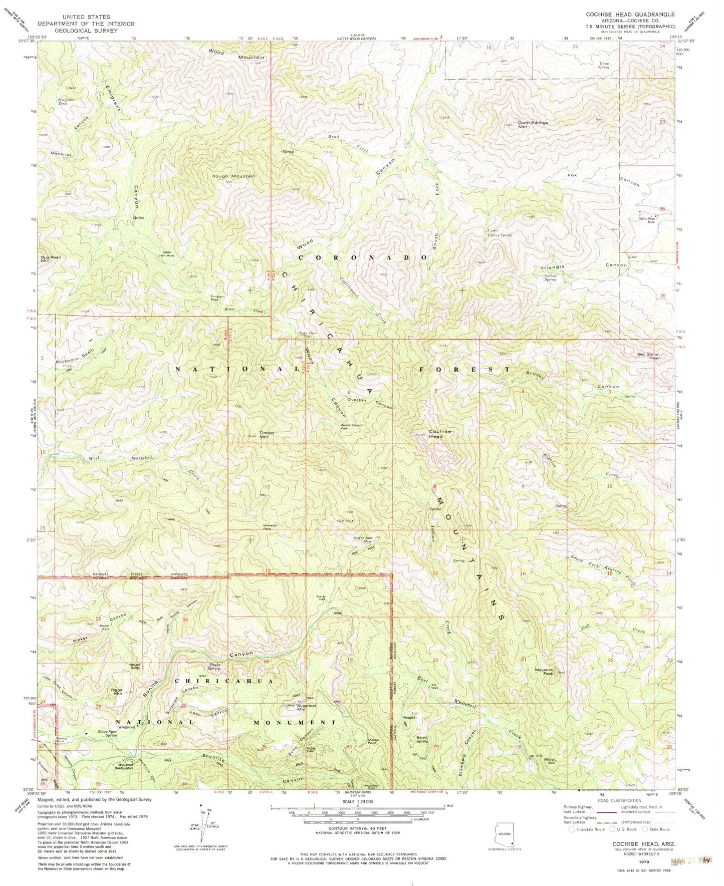
Historical USGS topographic quad map of Cochise Head in the state of Arizona. Typical map scale is 1:24,000, but may vary for certain years, if available. Print size: 24" x 27"
This quadrangle is in the following counties: Cochise.
The map contains contour lines, roads, rivers, towns, and lakes. Printed on high-quality waterproof paper with UV fade-resistant inks, and shipped rolled.
Contains the following named places: Barrel Spring, Bitter Creek, Blumberg Canyon, Bonita Canyon, Bonita Park, Brad Creek, Buckhorn Basin, Chiricahua National Monument, Cochise Head, Cottonwood Creek, Dunn Spring, Dunn Springs Mountain, Echo Canyon, Echo Park, Emigrant Pass, Emigrant Tank, Faraway Ranch, Hells Half Acre, Indian Creek, Inspiration Point, King of Lead Mine, Lost Canyon, Madrone Canyon, Massai Point, Maverick Canyon, Maverick Peak, Newton Canyon, North Bonita Canyon, Outlaw Spring, Overton Canyon, Picket Park, Rhyolite Canyon, Riggs Mountain, Rough Mountain, San Simon Head, Sarah Deming Canyon, Shake Spring, Silver Spur Spring, South Fork Wood Canyon, Sugarloaf Mountain, Surprise Canyon, Timber Mountain, Totem Canyon, Upper Cherry Spring, Whitetail Pass, Willie Rose Mine, Wood Canyon Park, Wood Mountain, Alreds Ranch, Bonita Spring, Chiricahua National Monument Wilderness, East White Tail Trail Two Hundred Fiftythree, Emigrant Canyon Trail Two Hundred Fiftyfive, Taylor Place, Chiricahua Natural Bridge, Whitetail Arch