MyTopo
Classic USGS Cochise Stronghold Arizona 7.5'x7.5' Topo Map
Couldn't load pickup availability
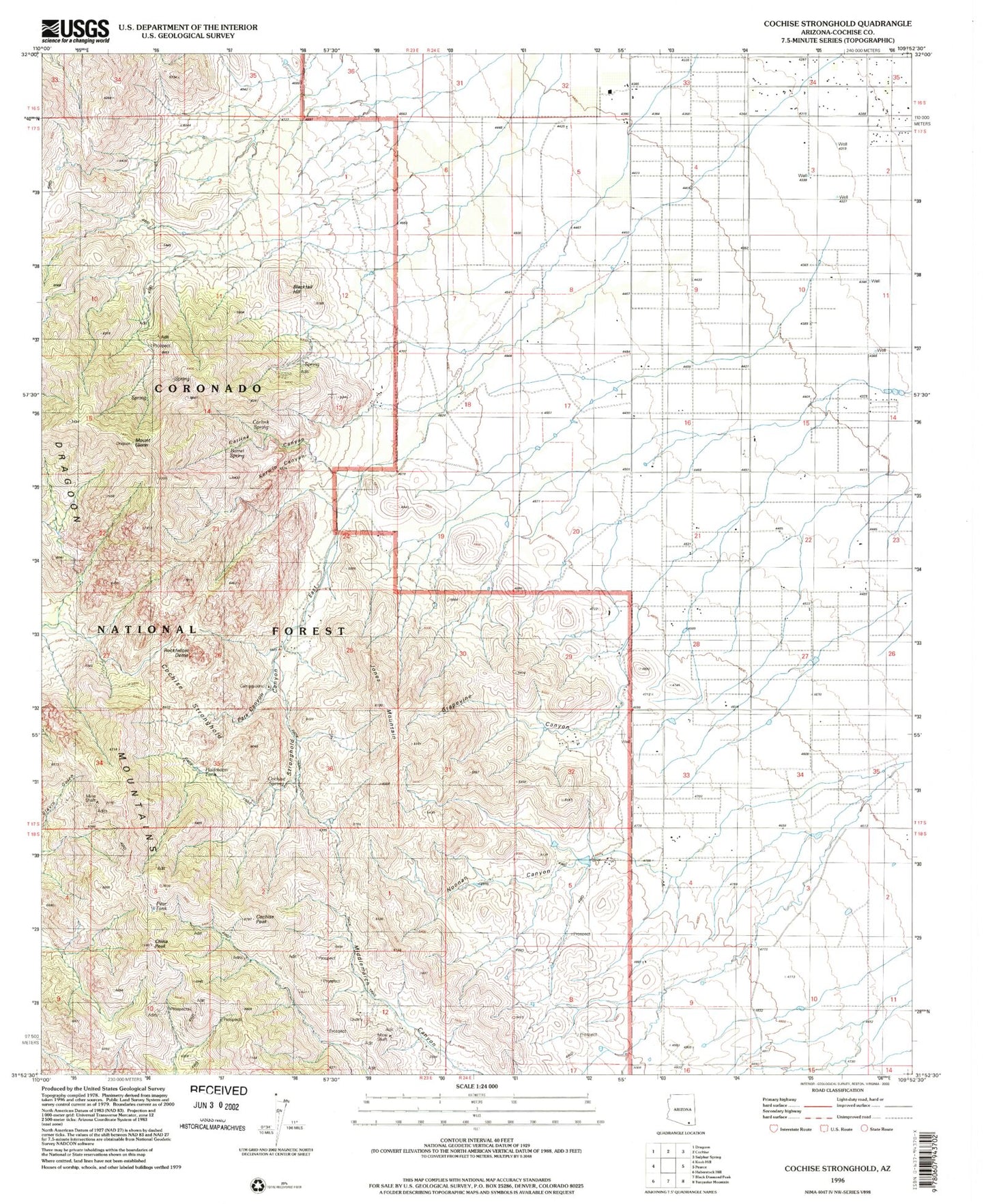
Historical USGS topographic quad map of Cochise Stronghold in the state of Arizona. Map scale may vary for some years, but is generally around 1:24,000. Print size is approximately 24" x 27"
This quadrangle is in the following counties: Cochise.
The map contains contour lines, roads, rivers, towns, and lakes. Printed on high-quality waterproof paper with UV fade-resistant inks, and shipped rolled.
Contains the following named places: Abril Mine, Arizona Sun Sites, Barret Spring, Blacktail Hill, Carlink Spring, China Peak, Cobra Loma Mine, Cochise Peak, Cochise Stronghold, Cochise Stronghold Campground, Dragoon Mountains, Gordon Camp, Grapevine Canyon, Halfmoon Tank, Johns Well, Jones Mountain, Mount Glenn, Noonan Canyon, Rockfellow Dome, Sorin Camp, Stronghold Canyon East, Tunnel Spring