MyTopo
Classic USGS Cochise Arizona 7.5'x7.5' Topo Map
Regular price
$16.95
Regular price
Sale price
$16.95
Unit price
per
Couldn't load pickup availability
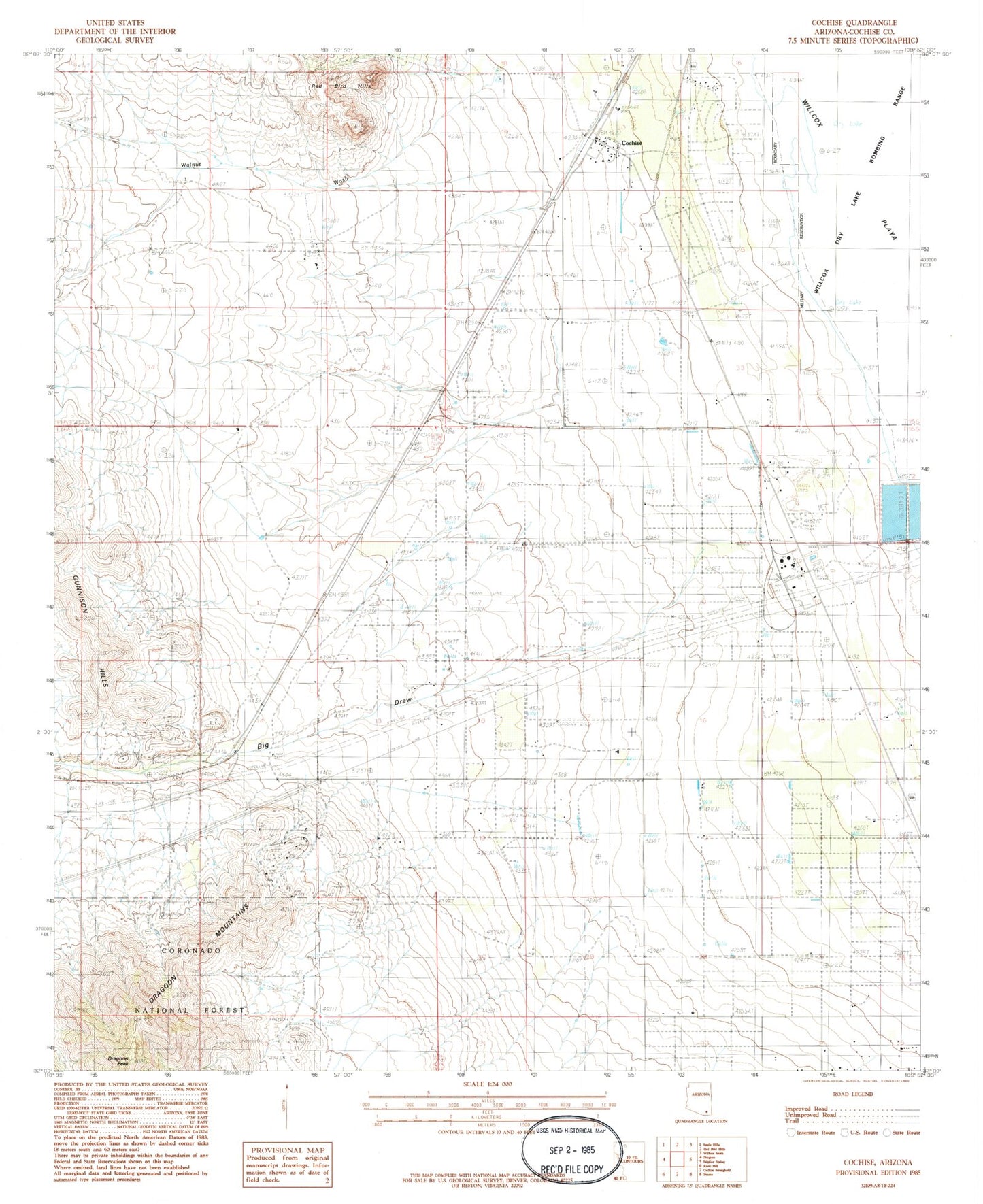
Historical USGS topographic quad map of Cochise in the state of Arizona. Map scale may vary for some years, but is generally around 1:24,000. Print size is approximately 24" x 27"
This quadrangle is in the following counties: Cochise.
The map contains contour lines, roads, rivers, towns, and lakes. Printed on high-quality waterproof paper with UV fade-resistant inks, and shipped rolled.
Contains the following named places: Ammon Airport, Big Draw, Cochise, Cochise Elementary School, Cochise Post Office, Cochise Power Plant, Dragoon Peak, Dragoon Railroad Station, Golden Rule Mine, Manzoro, Walnut Wash, ZIP Code: 85606