MyTopo
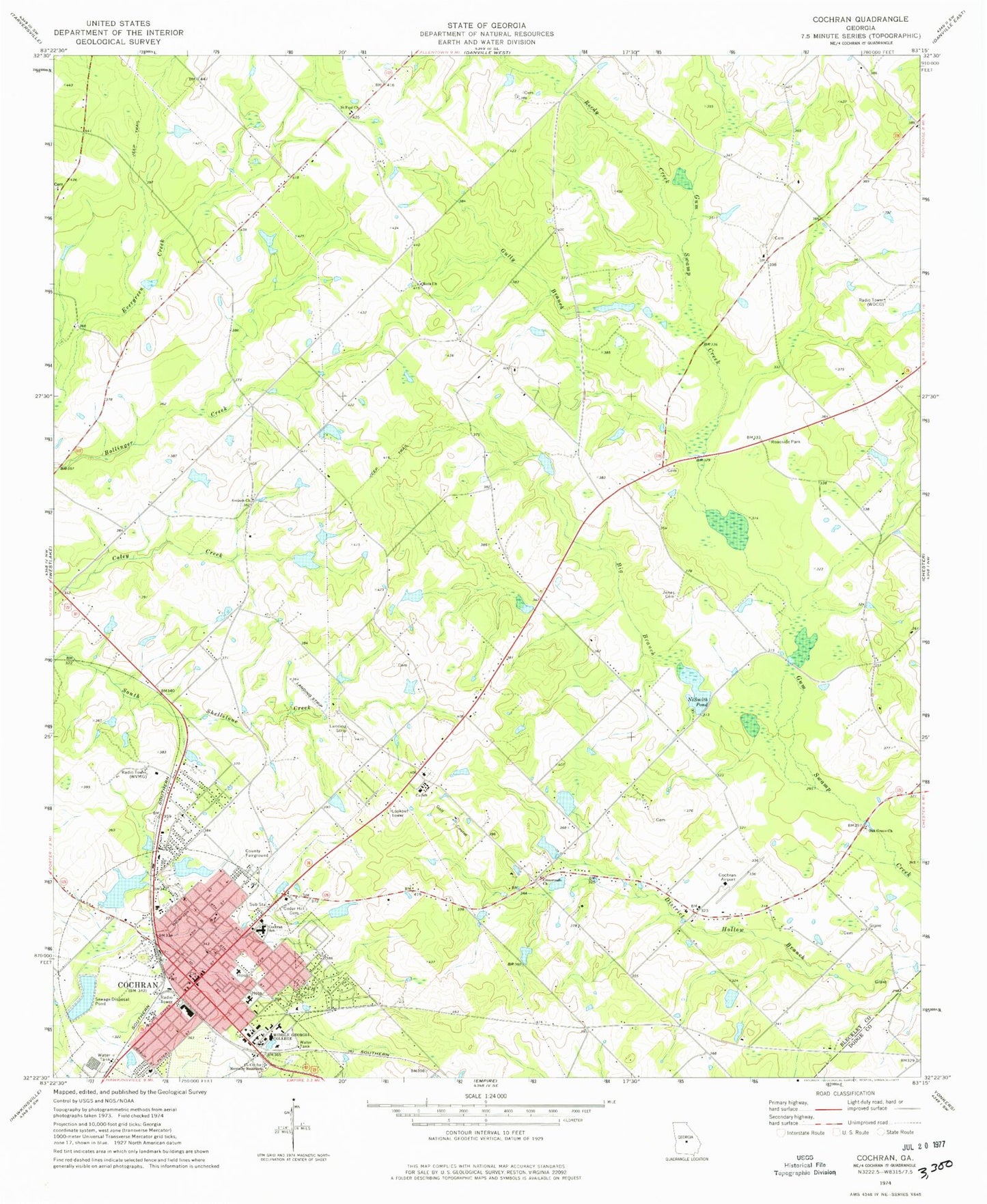
Classic USGS Cochran Georgia 7.5'x7.5' Topo Map
Couldn't load pickup availability
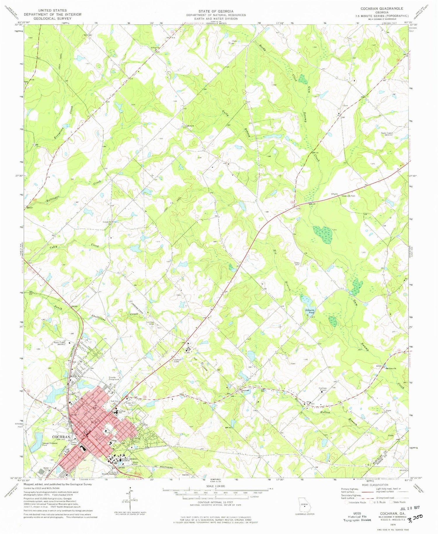
Historical USGS topographic quad map of Cochran in the state of Georgia. Map scale may vary for some years, but is generally around 1:24,000. Print size is approximately 24" x 27"
This quadrangle is in the following counties: Bleckley, Dodge.
The map contains contour lines, roads, rivers, towns, and lakes. Printed on high-quality waterproof paper with UV fade-resistant inks, and shipped rolled.
Contains the following named places: Antioch Church, Barbour Cemetery, Bethany Church, Big Branch, Bleckley County, Bleckley County Courthouse, Bleckley County High School, Bleckley County Sheriff's Office, Bleckley Elementary School, Bleckley Memorial Hospital, Bleckley Probation Detention Center, Cedar Hill Cemetery, Church of Christ, Church of God, City of Cochran, Cochran, Cochran - Bleckley Fire Department Airport Station, Cochran - Bleckley Fire Department Headquarters, Cochran Airport, Cochran Division, Cochran High School, Cochran Police Department, Cochran Post Office, Cochran School, Colonial Plantation, Crossroads Church, Emmanuel Church, First Baptist Church, First United Methodist Church, Five Points, Gully Branch, Hill Dam, Hill Lake, Jimmy Wimberly Air Field, Jones Cemetery, Lakeview Baptist Church, Longstreet Church, Marthann Baptist Church, Middle Georgia College, Middle Georgia College Police Department, Nesmith Pond, Nesmith Pond Dam, Oak Grove Church, Phillips Pond, Phillips Pond Dam, Reedy Creek, Roberts Memorial Library, Ruth Church, Saint Paul Church, Saint Paul School, Southside Baptist Church, Tabernacle Baptist Church, Trinity Episcopal Church, Turner Chapel, Turner Chapel African Methodist Episcopal Church, Union Hill Church, Union Hill School, WDCO-FM (Cochran), WDCO-TV (Cochran), WVMG-AM (Cochran), WVMG-FM (Cochran), ZIP Code: 31014


