MyTopo
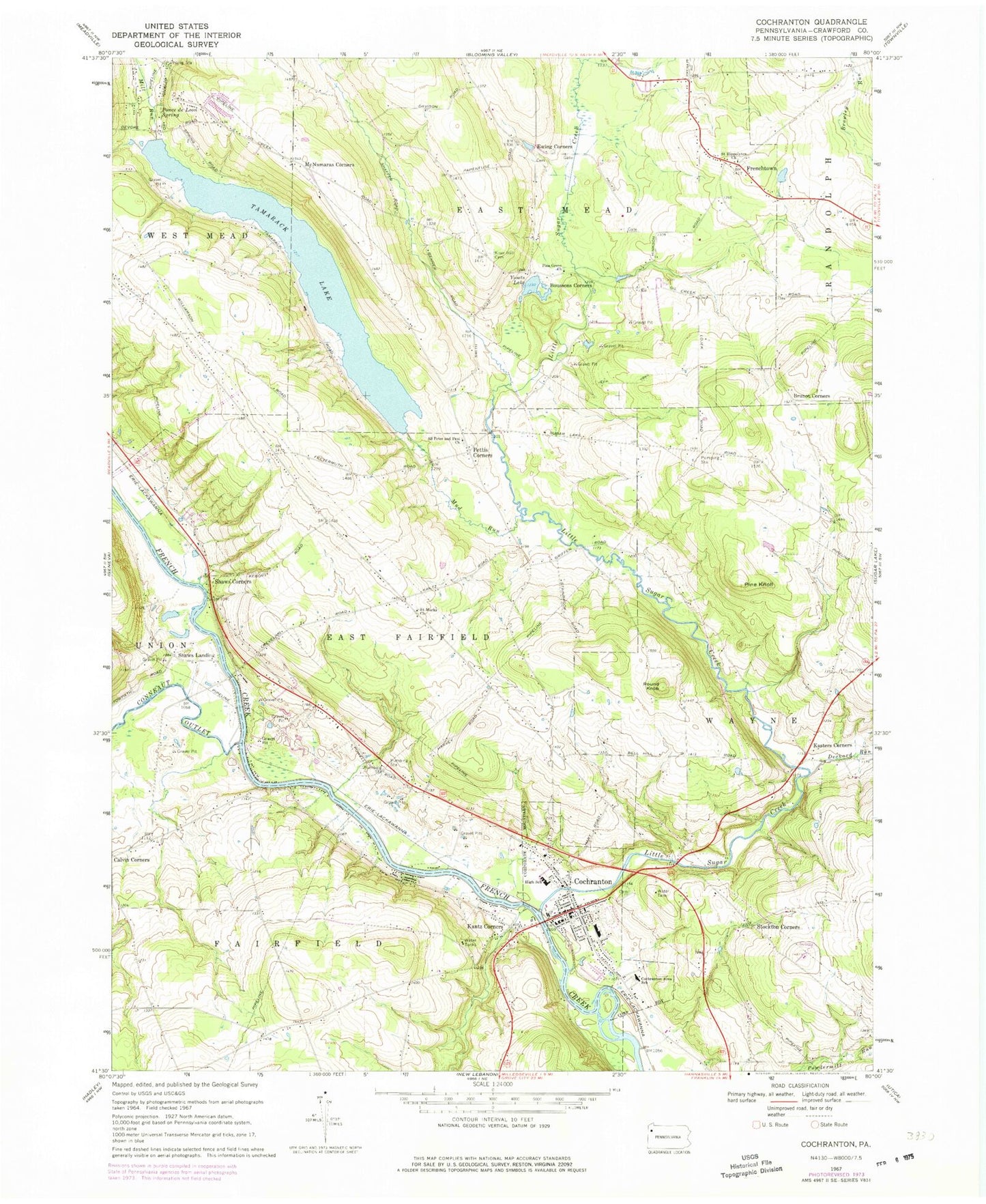
Classic USGS Cochranton Pennsylvania 7.5'x7.5' Topo Map
Couldn't load pickup availability
Historical USGS topographic quad map of Cochranton in the state of Pennsylvania. Map scale may vary for some years, but is generally around 1:24,000. Print size is approximately 24" x 27"
This quadrangle is in the following counties: Crawford.
The map contains contour lines, roads, rivers, towns, and lakes. Printed on high-quality waterproof paper with UV fade-resistant inks, and shipped rolled.
Contains the following named places: Bell Hill School, Borough of Cochranton, Bousson School, Boussons Corners, Brown School, Brunot Corners, Byham School, Calvin Corners, Cochranton, Cochranton Cemetery, Cochranton Elementary School, Cochranton Junior Senior High School, Cochranton Police Department, Cochranton Post Office, Cochranton Volunteer Fire Department 4, Conneaut Cemetery, Conneaut Outlet, Davis School, Dean School, Deckard Run, Dutch Hill Greenhouses, Ewing Cemetery, Ewing Corners, Frenchtown, Jennings School, Kantz Corners, Kasters Corners, Kiser Hill Cemetery, Kiser School, Kiters School, Laird School, Little Sugar Creek, Mallard School, McNamaras Corners, Moore School, Mud Run, Pettis Corners, Pettis Road Greenhouse, Pine Grove Church, Pine Knoll, Ponce de Leon Spring, Prospect School, Rosedale School, Round Knob, Rung School, Rynd School, Saint Hippolyte Church Cemetery, Saint Hippolytes Church, Saint Marks Church, Saint Peter and Paul Roman Catholic Cemetery, Saints Peter and Paul Church, Shaws Corners, Shaws Landing, Smith - Rockafellow Cemetery, Stockton Corners, Swamp School, Tamarack Lake, Tamarack Lake Dam A, Tamarack Lake Dam B, Township of East Fairfield, Township of Fairfield, Yosets Lake, ZIP Code: 16314


