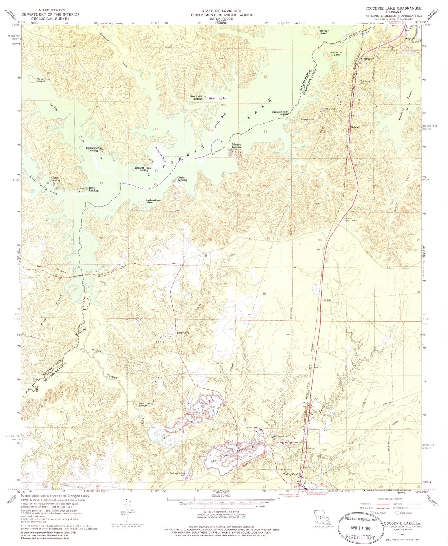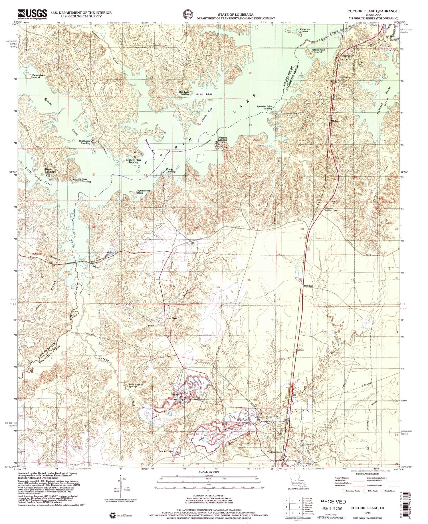

MyTopo
Classic USGS Cocodrie Lake Louisiana 7.5'x7.5' Topo Map
Couldn't load pickup availability
Historical USGS topographic quad map of Cocodrie Lake in the state of Louisiana. Map scale may vary for some years, but is generally around 1:24,000. Print size is approximately 24" x 27"
This quadrangle is in the following counties: Evangeline, Rapides.
The map contains contour lines, roads, rivers, towns, and lakes. Printed on high-quality waterproof paper with UV fade-resistant inks, and shipped rolled.
Contains the following named places: Belle Chaney, Belle Chaney Springs, Bennett Bay, Bennett Bay Landing, Blue Lake, Blue Lake Landing, Butler Creek, Caney Bayou, Clarks Landing, Clear Creek, Clearwater, Clearwater Oak Grove Cemetery, Clubhouse Landing, Cocodrie Lake, Cocodrie Swamp, Dove Landing, Duplissey Cemetery, First United Pentecostal Church, Hester Landing, Horse Branch, Hubbard Brake, Hurricane Creek, Island Gap Island, Jayhawkers Island, Johnson Landing, Lake Cove, Lake Cove School, Little Spring Creek, McCormack Cemetery, Meridian, Meridian Lookout Tower, Neals Bay, Nobrac, Oak Grove Church, Peachtree Island, Peterson Island, Spring Creek, Squealer Point Landing, Tanners Creek, Turkey Creek, ZIP Code: 70585