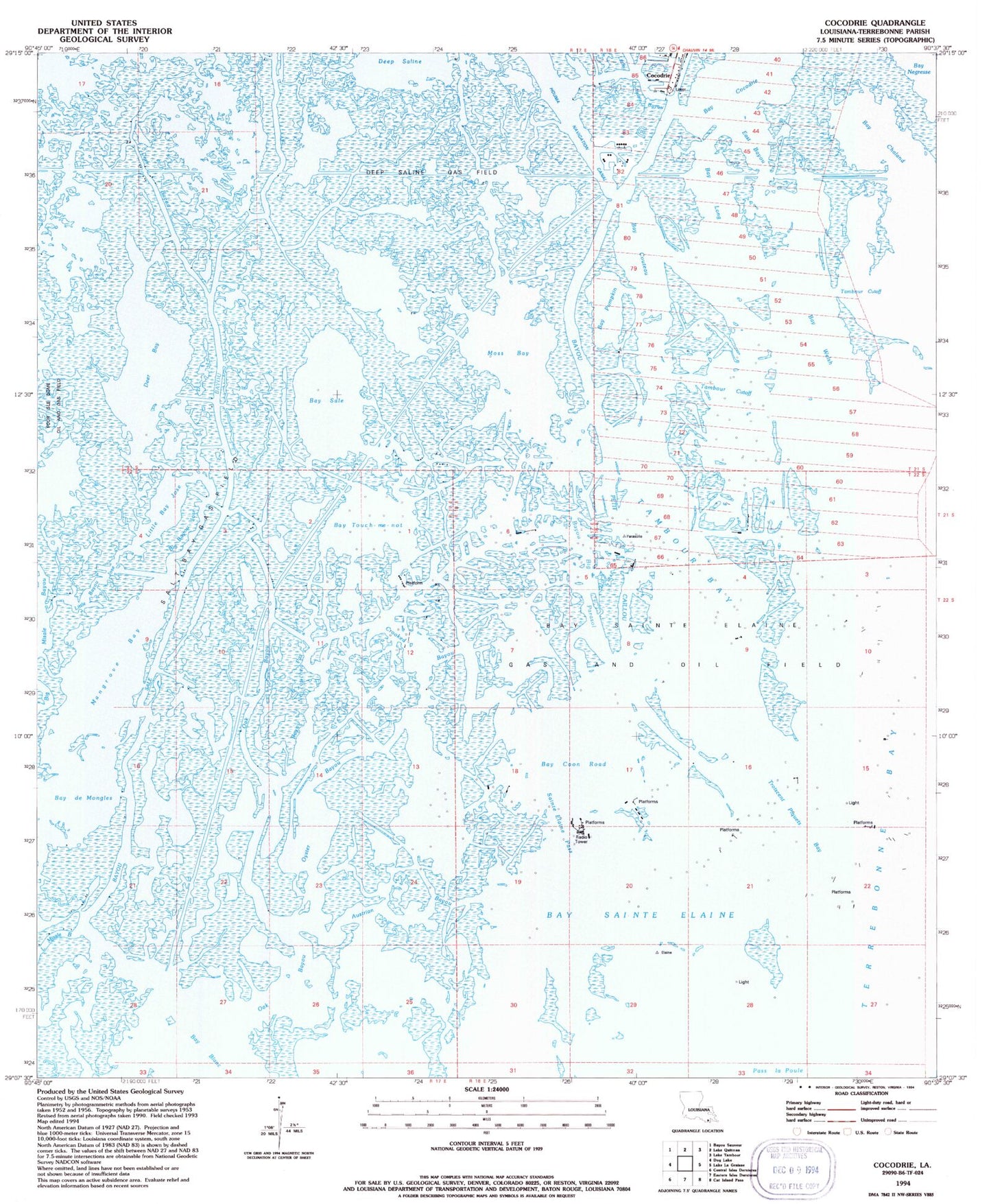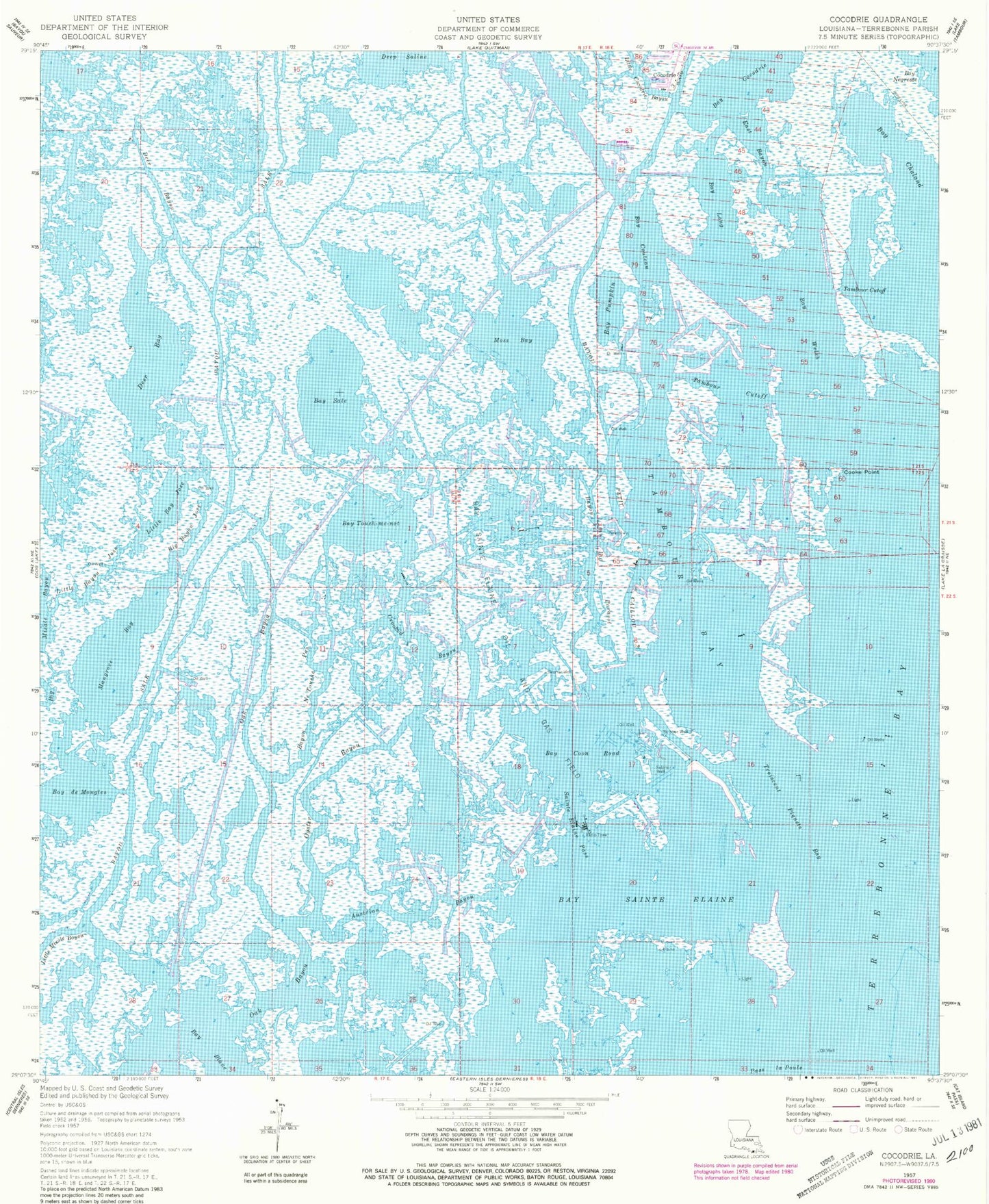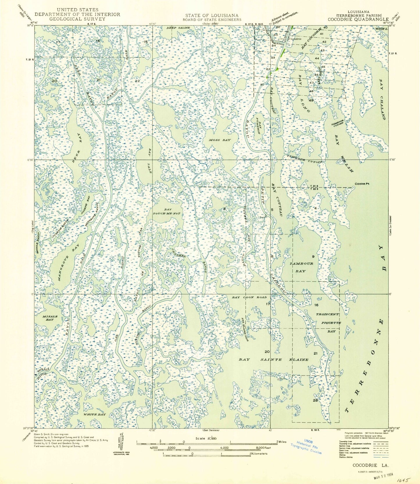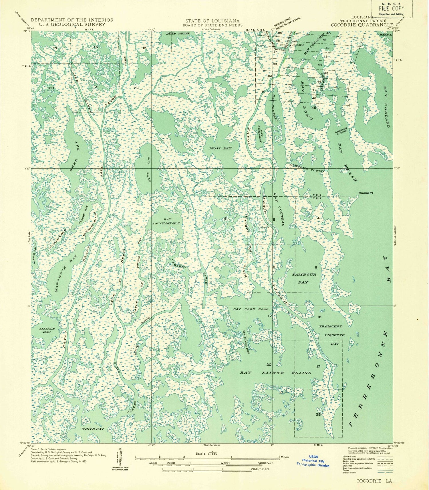
MyTopo
Classic USGS Cocodrie Louisiana 7.5'x7.5' Topo Map
Couldn't load pickup availability
Historical USGS topographic quad map of Cocodrie in the state of Louisiana. Map scale may vary for some years, but is generally around 1:24,000. Print size is approximately 24" x 27"
This quadrangle is in the following counties: Terrebonne.
The map contains contour lines, roads, rivers, towns, and lakes. Printed on high-quality waterproof paper with UV fade-resistant inks, and shipped rolled.
Contains the following named places: Austrian Bayou, Bay Cocodrie, Bay Coon Road, Bay Couteau, Bay Long, Bay Pumpkin, Bay Sainte Elaine, Bay Sainte Elaine Oil and Gas Field, Bay Sale, Bay Touch-me-not, Bay Welsh, Bayou Big Parasol, Bayou Netouche Pas, Bayou Sale, Big Bayou Jose, Cocodrie, Cocodrie Heliport, Cooke Point, Crooked Bayou, Deer Bay, Deer Bayou, East Bayou, Little Bay Jose, Little Bayou Jose, Little Cocodrie Bayou, Mangrove Bay, Moss Bay, Oak Bayou, Odeco Cocodrie Heliport, Oyster Bayou, Sainte Elaine Pass, Salt Bay Gas Field, Tambour Bay, Tambour Cutoff, Troiscent Piquets Bay