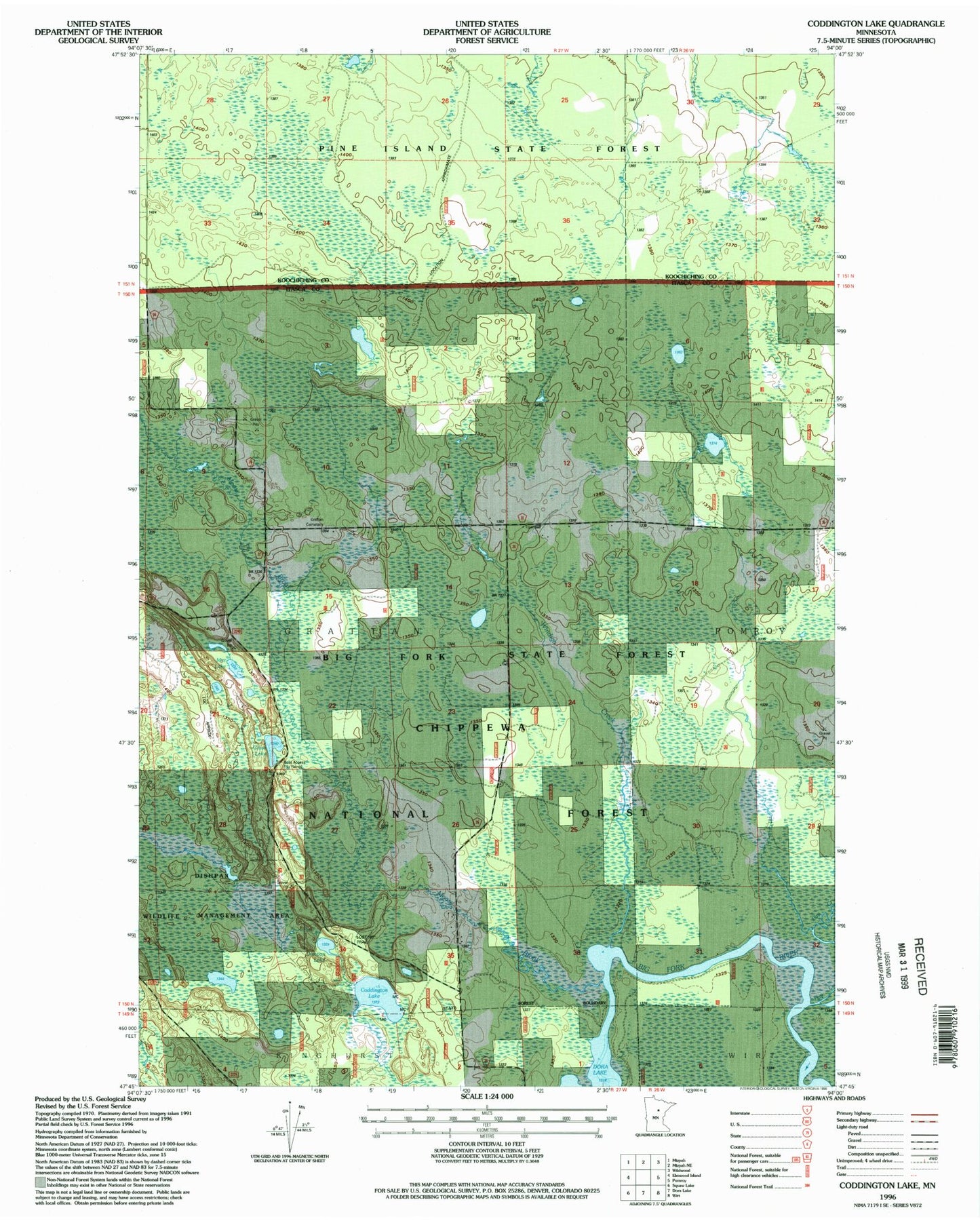
MyTopo
Classic USGS Coddington Lake Minnesota 7.5'x7.5' Topo Map
Couldn't load pickup availability
Historical USGS topographic quad map of Coddington Lake in the state of Minnesota. Map scale may vary for some years, but is generally around 1:24,000. Print size is approximately 24" x 27"
This quadrangle is in the following counties: Itasca, Koochiching.
The map contains contour lines, roads, rivers, towns, and lakes. Printed on high-quality waterproof paper with UV fade-resistant inks, and shipped rolled.
Contains the following named places: Calvary Covenant Church, Coddington Lake, Dishpan Lake, Dishpan Lake Dam, Dishpan Wildlife Management Area Impoundment Number 2 Dam, Glove Lake, Grattan Cemetery, Grattan Post Office, Hay Creek, Lost '40' Trail, Mitt Lake, Moose Brook, Township of Grattan, Wildlife Marsh, Windigo Creek