MyTopo
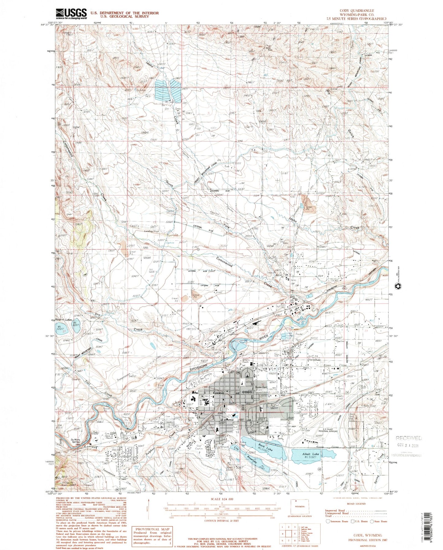
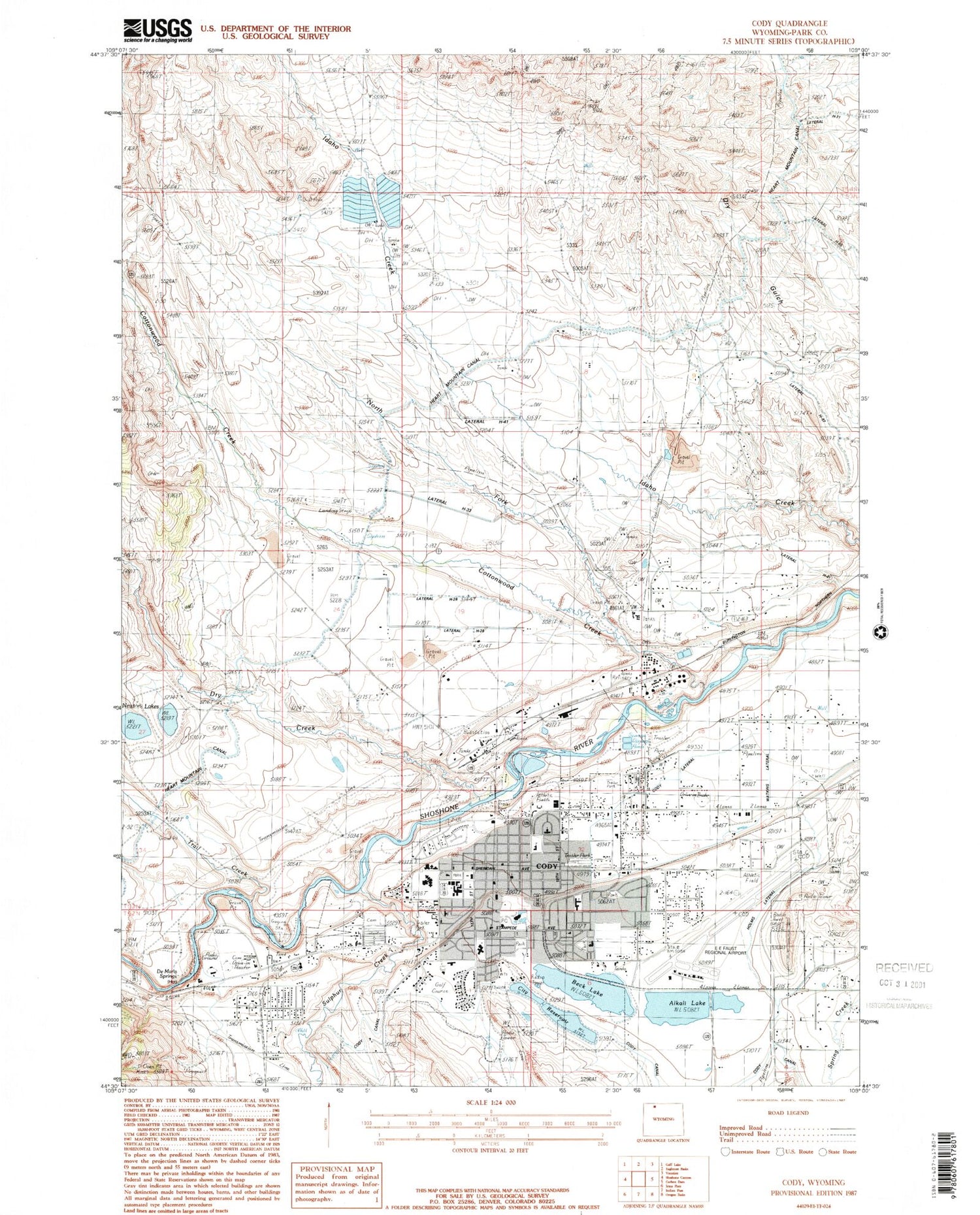
Classic USGS Cody Wyoming 7.5'x7.5' Topo Map
Couldn't load pickup availability
Historical USGS topographic quad map of Cody in the state of Wyoming. Map scale may vary for some years, but is generally around 1:24,000. Print size is approximately 24" x 27"
This quadrangle is in the following counties: Park.
The map contains contour lines, roads, rivers, towns, and lakes. Printed on high-quality waterproof paper with UV fade-resistant inks, and shipped rolled.
Contains the following named places: Alkali Lake, Beck Lake, Celotex Bighorn Gypsum Mine, Christ Episcopal Church Memorial Garden Cemetery, City of Cody, City Reservoir, Cody, Cody Canal, Cody High School, Cody Lateral Ditch, Cody Middle School, Cody Municipal Dam, Cody Municipal Reservoir, Cody Post Office, Cody Volunteer Fire Department, Cottonwood Creek, De Maris Springs, Ditch H-16, Ditch H-24, Ditch H-28, Ditch H-33, Ditch H-41, Ditch H-57, Dry Creek, Eastgate Shopping Center, Eastside Elementary School, Holms Lateral Ditch, KODI-AM (Cody), KYDZ-FM (Cody), Livingston Elementary School, Markham Dam, Markham Reservoir, Newton Lakes, North Fork Cottonwood Creek, North Pit, Old Trail Town Cemetery, Our House Hospital, Pat O'Hara Sand and Gravel Pit, Riverside - Graham Cemetery, Riverside Cemetery, Shoshone National Forest Wapiti - Clarks Fork - Greybull Ranger District Fire Engine Crew, Sulphur Creek, Sunset Elementary School, Trail Creek, Trail Creek Ranch Cemetery, Valley School, Watkins Lateral Ditch, West Park Hospital, West Park Hospital Emergency Medical Services, West Park Hospital Heliport, West Park Long Term Care Center, Wyoming Highway Patrol District 5 Division N, Yellowstone Regional Airport, Younglove Pit


