MyTopo
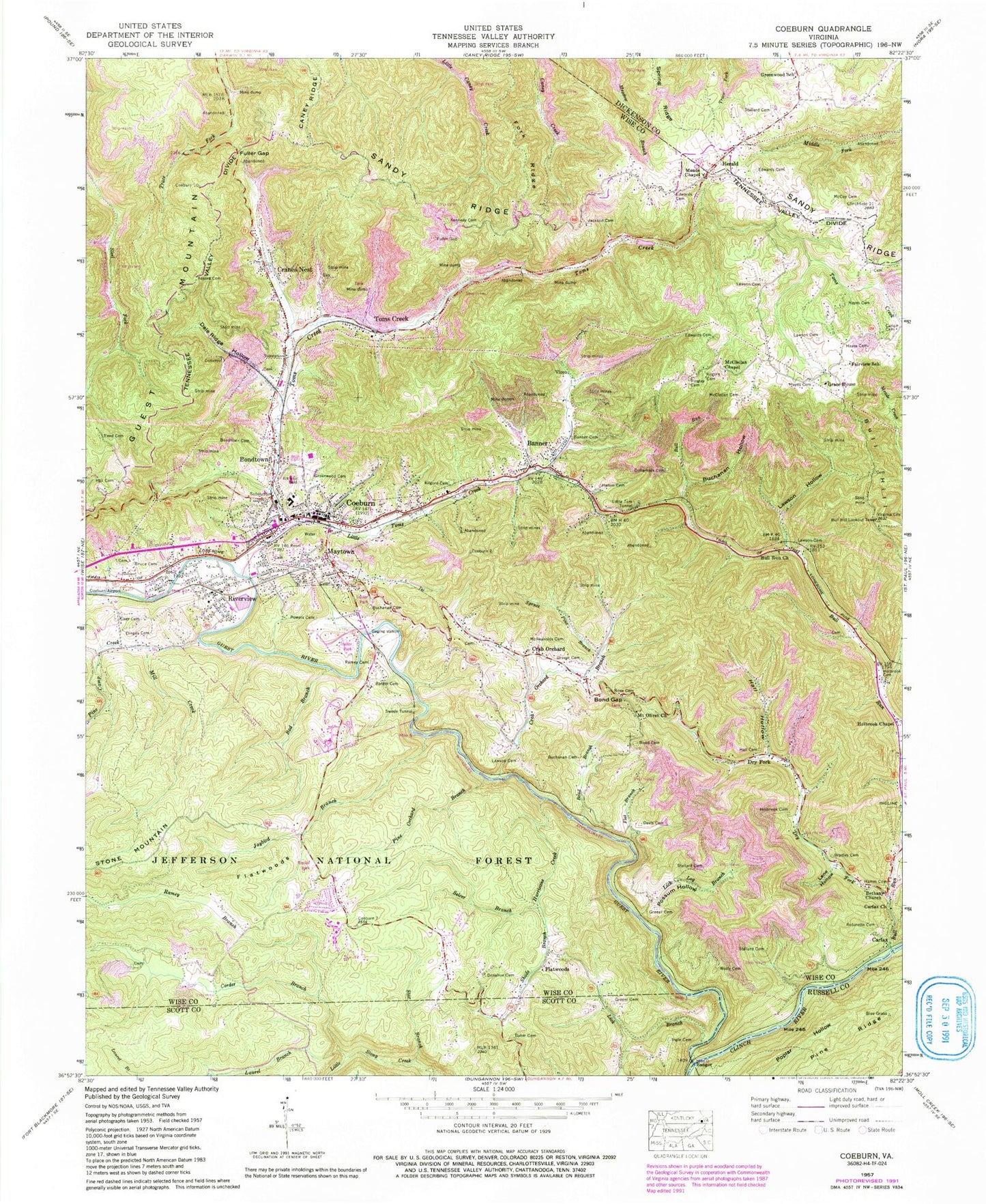
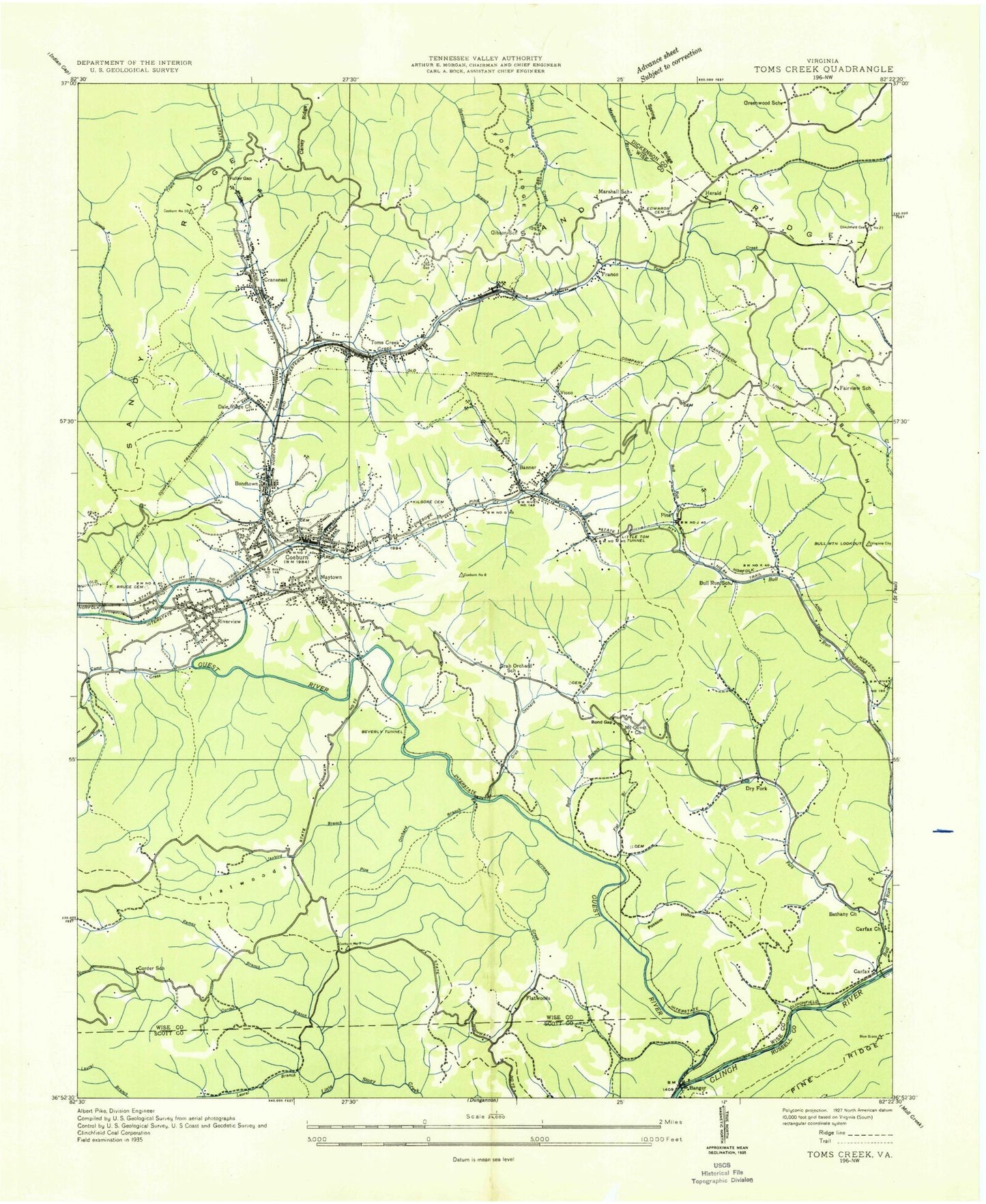
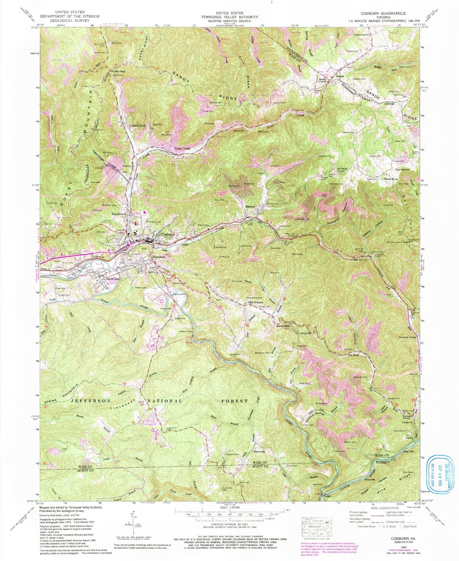
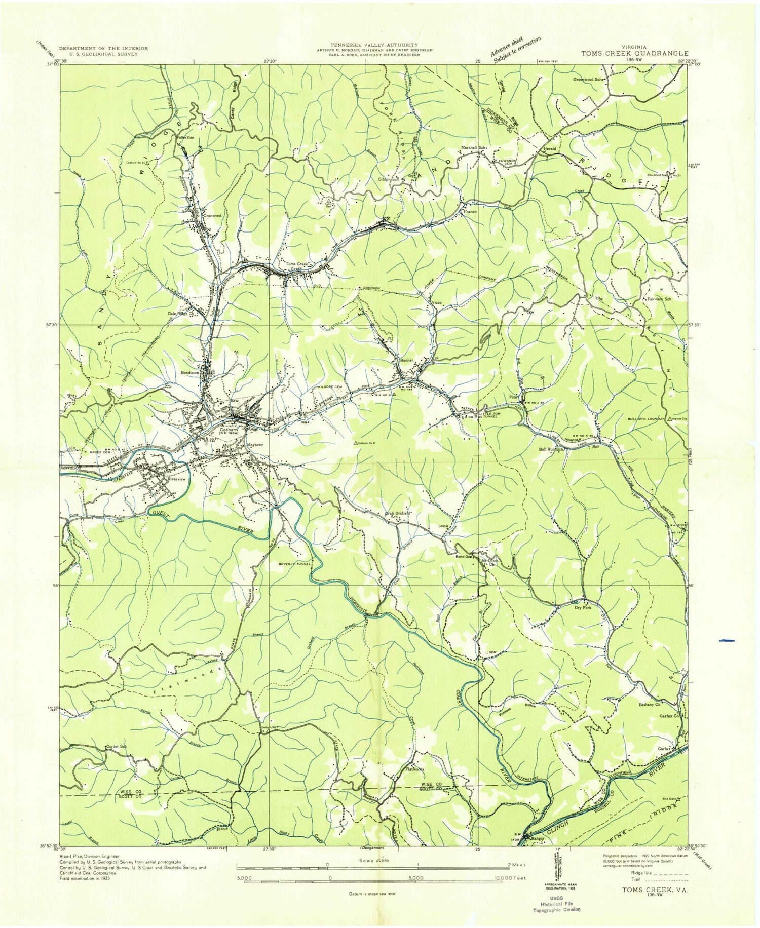
Classic USGS Coeburn Virginia 7.5'x7.5' Topo Map
Couldn't load pickup availability
Historical USGS topographic quad map of Coeburn in the state of Virginia. Map scale may vary for some years, but is generally around 1:24,000. Print size is approximately 24" x 27"
This quadrangle is in the following counties: Dickenson, Russell, Scott, Wise.
The map contains contour lines, roads, rivers, towns, and lakes. Printed on high-quality waterproof paper with UV fade-resistant inks, and shipped rolled.
Contains the following named places: Adkins Cemetery, Bad Branch, Baker Cemetery, Bangor, Banner, Banner Cemetery, Barker Cemetery, Bethany Church, Bond Branch, Bond Cemetery, Bond Gap, Bondtown, Bondtown Cemetery, Bradley Cemetery, Bruce Cemetery, Buchanan Cemetery, Buchanan Hollow, Bull Hill Lookout Tower, Bull Run, Bull Run Church, Bull Run School, Carfax, Carfax Church, Carigo Cemetery, Coeburn, Coeburn Heliport, Coeburn Lake, Coeburn Middle School, Coeburn Police Department, Coeburn Post Office, Coeburn Primary School, Coeburn Volunteer Fire Department, Corder Branch, Corder School, Crab Orchard, Crab Orchard Branch, Crab Orchard School, Cranes Nest, Dale Ridge Hollow, Davis Cemetery, Dingus Cemetery, District 4, Dollarhide Cemetery, Donahue Cemetery, Dry Fork, Eastside High School, Edwards Cemetery, Fairview School, First Baptist Church, Flat Branch, Flatwoods, Flatwoods Campground, Flatwoods Job Corps Camp, Fork Ridge, Franco, Fuller Gap, Gibson School, Grace House, Greear Cemetery, Greenwood Cemetery, Greenwood School, Guest River, Hall Cemetery, Hall Hollow, Hamm Cemetery, Hayes Cemetery, Herald, Holbrook Cemetery, Holbrook Chapel, Hurricane Creek, Ingle Cemetery, Jackson Cemetery, Jaybird Branch, Kennedy Cemetery, Kilgore Cemetery, Kise Cemetery, Lane Hollow, Laurel Branch, Laurel Grove School, Lawson Cemetery, Lawson Hollow, Lick Branch, Lick Log Branch, LifeCare Ambulance Service Coeburn, Little Tom Tunnel, Little Toms Creek, Marshall School, Marty 1 Heliport, Maytown, McClellan Cemetery, McClellan Chapel, McCoy Cemetery, McReynolds Cemetery, Meade Chapel, Mill Creek, Mount Olivet Church, Pine, Pine Camp Creek, Pine Orchard Branch, Pine Ridge, Possum Hollow, Powers Cemetery, Ramey Branch, Ramey Cemetery, Reed Cemetery, Ringley Cemetery, Riverview, Riverview Census Designated Place, Robinette Cemetery, Rose Cemetery, Sandy Ridge Volunteer Fire Department, Sandy Ridge Volunteer Rescue Squad, Selcer Branch, Shade Branch, Spruce Pine Branch, Stallard Cemetery, Star Branch, Swede Tunnel, Toms Creek, Toms Creek Dam, Town of Coeburn, Trail of the Lonesome Pine, Vane, Vicco, Wise Correctional Unit, Wolfe Cemetery, WZQK-FM (Coeburn), ZIP Code: 24230


