MyTopo
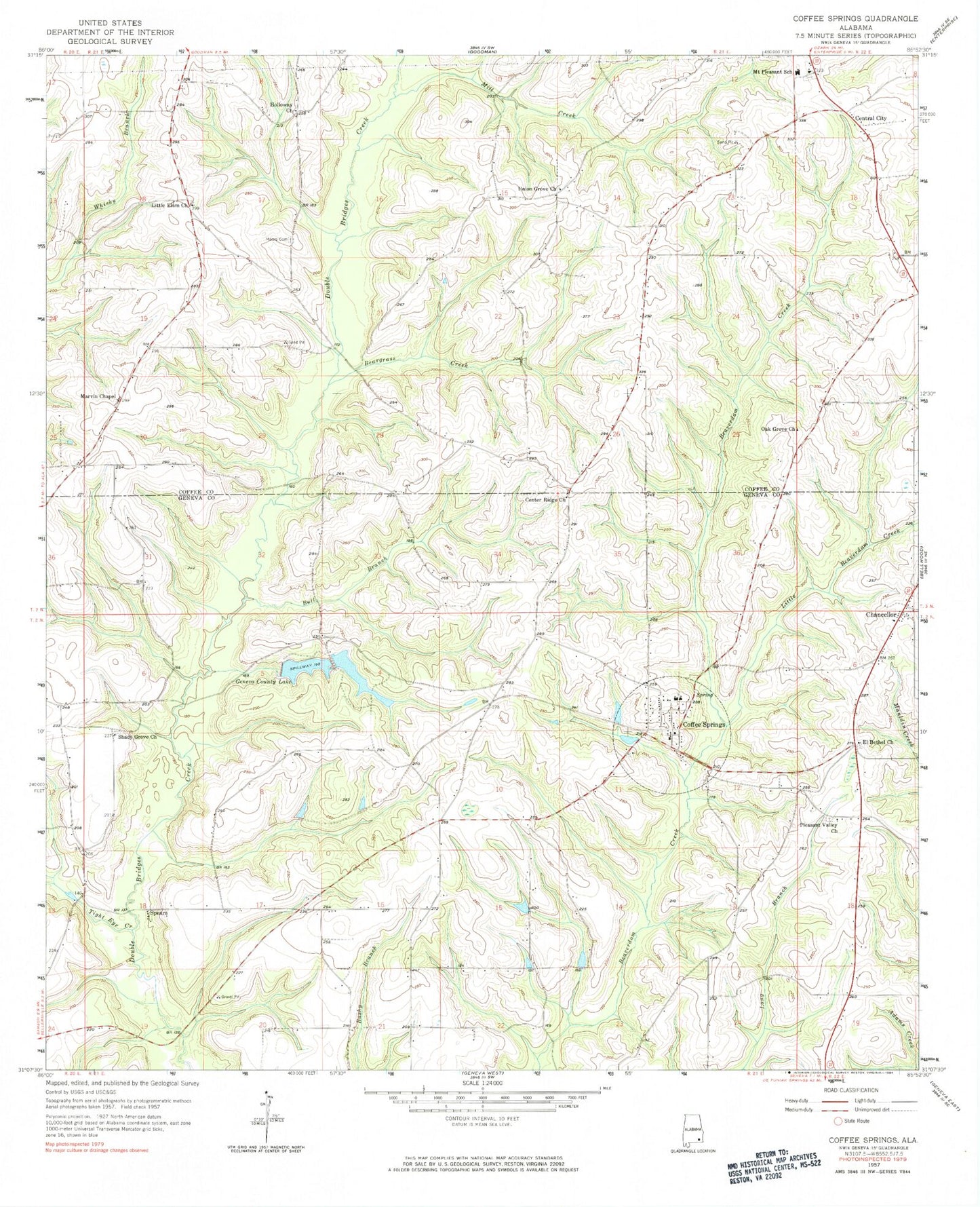
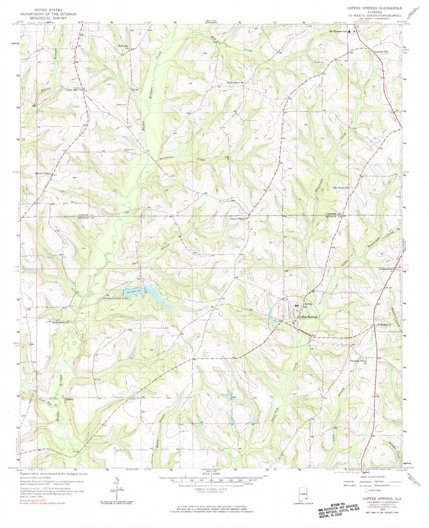
Classic USGS Coffee Springs Alabama 7.5'x7.5' Topo Map
Couldn't load pickup availability
Historical USGS topographic quad map of Coffee Springs in the state of Alabama. Map scale may vary for some years, but is generally around 1:24,000. Print size is approximately 24" x 27"
This quadrangle is in the following counties: Coffee, Geneva.
The map contains contour lines, roads, rivers, towns, and lakes. Printed on high-quality waterproof paper with UV fade-resistant inks, and shipped rolled.
Contains the following named places: Beargrass Creek, Bellwood-Coffee Springs Division, Bull Branch, Castleberry Branch, Cedar Branch, Center Ridge, Center Ridge Methodist Church, Center Ridge School, Center School, Central City, Chancellor, Chancellor Church, Chancellor Post Office, Coffee Springs, Coffee Springs Cemetery, Coffee Springs Church of Christ, Coffee Springs Elementary School, Coffee Springs High School, Coffee Springs Methodist Church, Coffee Springs Post Office, Coffee Springs Volunteer Fire Department, Corinth Church, Dwight Brandon Dam, Dwight Brandon Lake, Ed Averett Pond Dam Number 2, Ed Averett Pond Number 2, Edwin Averett Dam, Edwin Averett Lake, El Bethel Baptist Church, El Bethel Cemetery, Epperson, First Baptist Church of Coffee Springs, Frank Denman Dam, Geneva County Lake, Geneva County Lake Number One Dam, Geneva County Number 2 Dam, Holloway Church, Lake Hulon, Little Beaverdam Creek, Little Elam Baptist Church, Little Elam Cemetery, Marshall Mill, Marvin Chapel Assembly of God Church, Marvin Chapel Cemetery, Mill Creek, Moore Cemetery, Mount Carmel Cemetery, Mount Carmel Primitive Baptist Church, Mount Pleasant Baptist Church, Mount Pleasant Cemetery, Mount Pleasant School, Murdock Pond, Murdock Pond Dam, Nichols School, Oak Grove Church, Pleasant Valley Cemetery, Pleasant Valley Missionary Baptist Church, Renzol Nichols Lake, Renzol Nichols Lake Dam, Shady Grove Cemetery, Shady Grove Church, Spears, Tight Eye Creek, Town of Coffee Springs, Union Grove Baptist Church, ZIP Code: 36318


