
MyTopo
Classic USGS Coffeeville Mississippi 7.5'x7.5' Topo Map
Couldn't load pickup availability
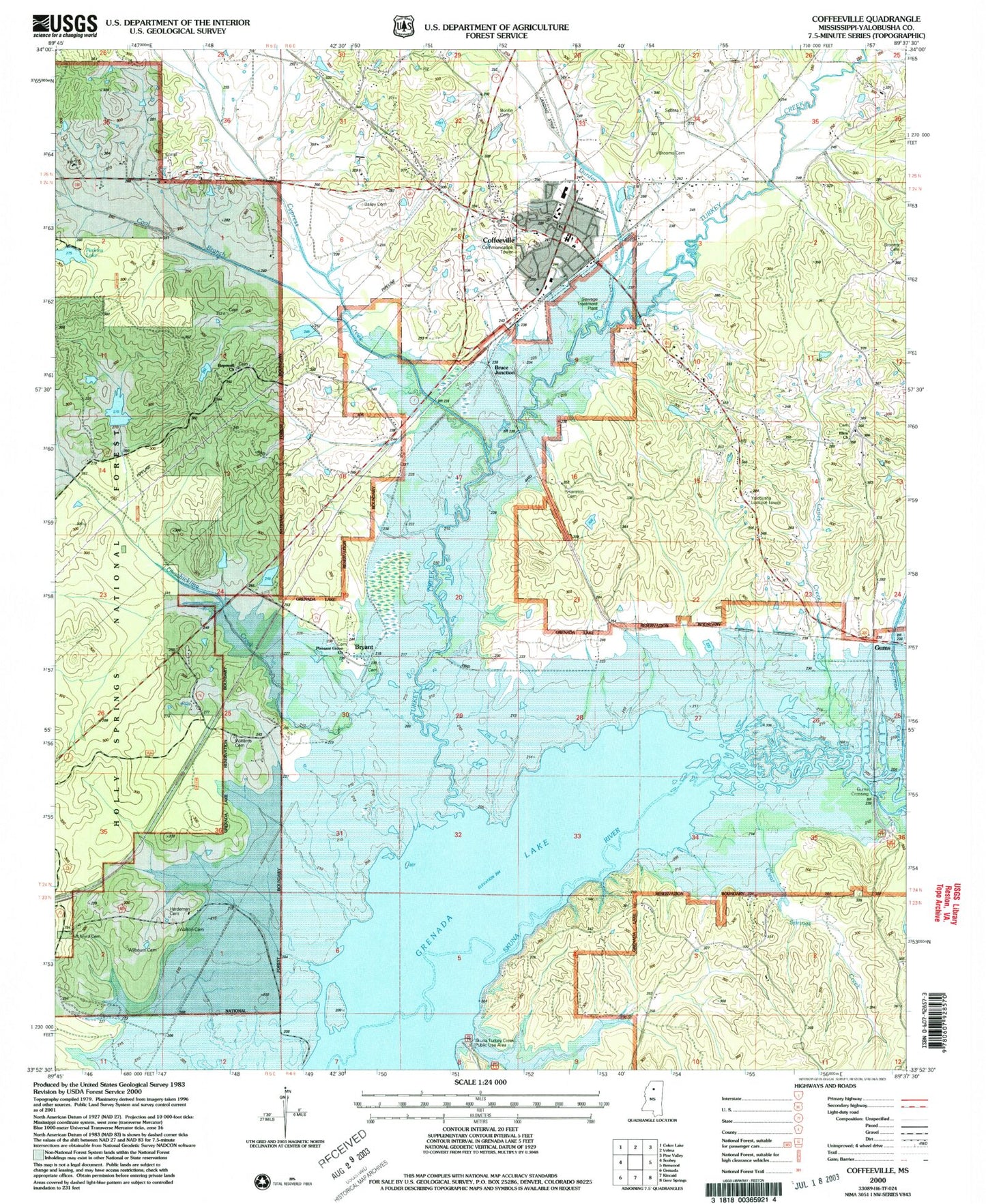
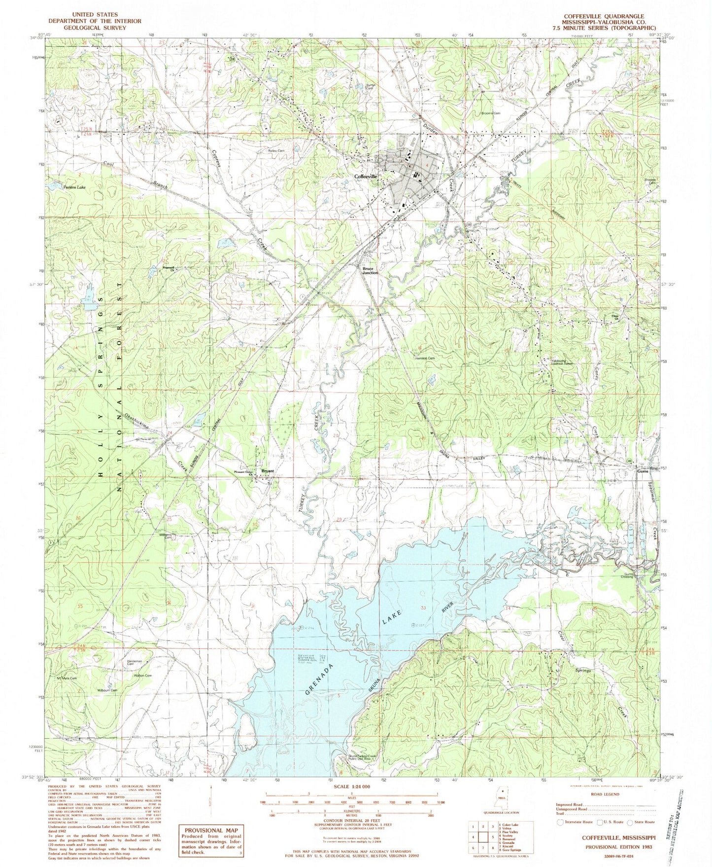
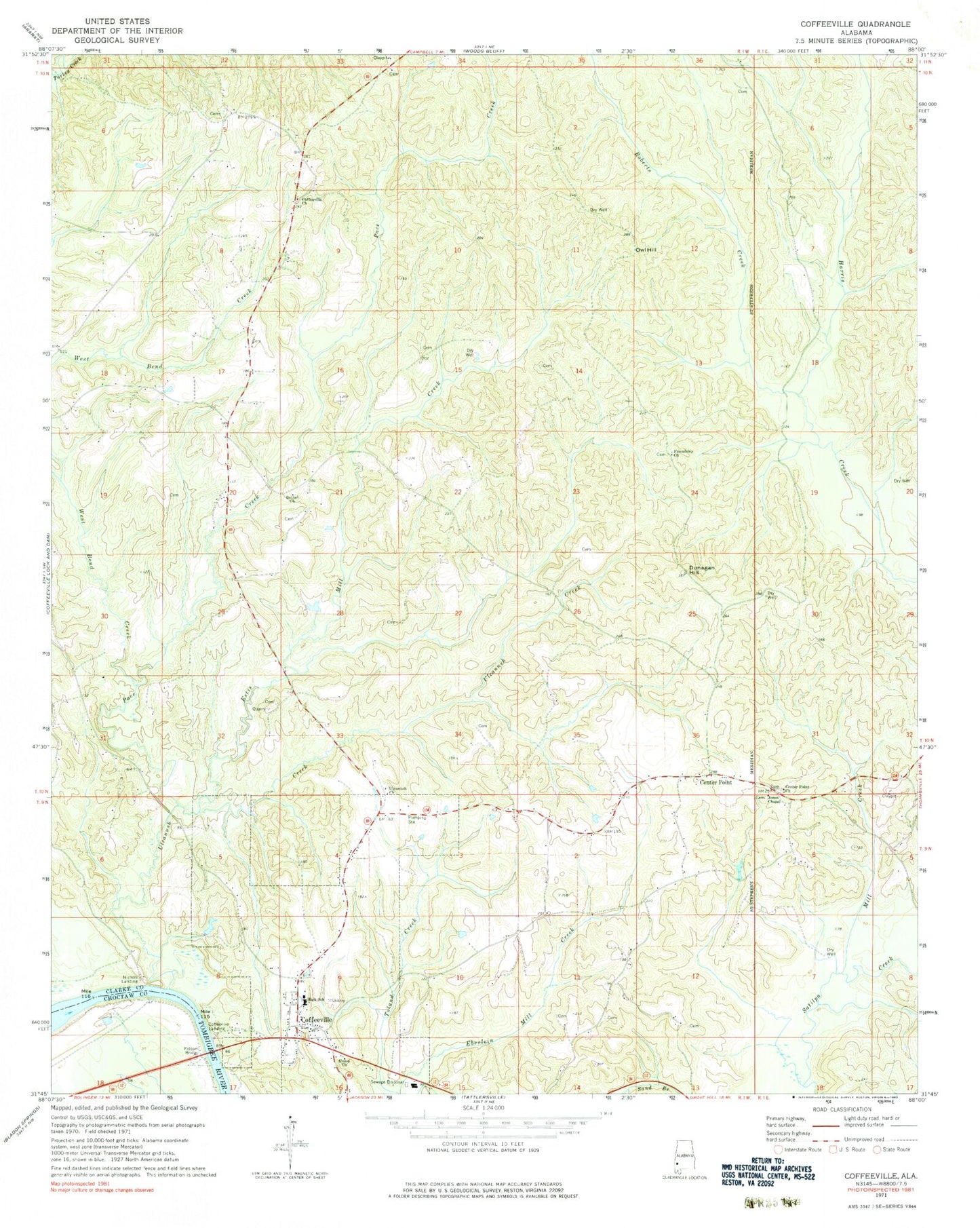
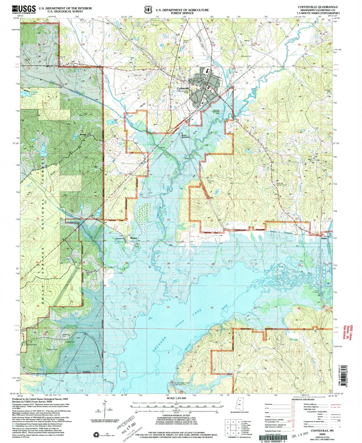
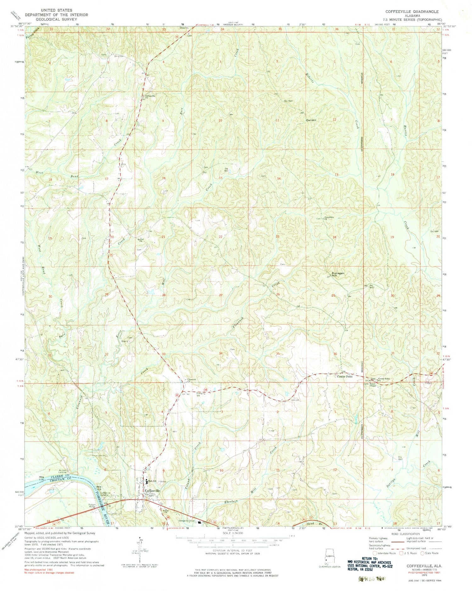
Historical USGS topographic quad map of Coffeeville in the state of Mississippi. Map scale may vary for some years, but is generally around 1:24,000. Print size is approximately 24" x 27"
This quadrangle is in the following counties: Yalobusha.
The map contains contour lines, roads, rivers, towns, and lakes. Printed on high-quality waterproof paper with UV fade-resistant inks, and shipped rolled.
Contains the following named places: Athens School, Bailey Cemetery, Brooms Cemetery, Bruce Junction, Bryant, Buntin Cemetery, Caney Creek, Clear Springs Creek, Clear Springs School, Coffeeville, Coffeeville Elementary School, Coffeeville First Baptist Church, Coffeeville High School, Coffeeville Police Department, Coffeeville Post Office, Coffeeville Volunteer Fire Department, Cool Branch, Cypress Creek, Cypress Creek Watershed Y-19a-13 Dam, Durden Creek, Elam Cemetery, Elam Church, Gums, Gums Crossing, Hairston Cemetery, Hardeman Cemetery, Hendersonville, Hopewell Baptist Church, Hopewell Cemetery, Jones School, Mount Myra Cemetery, Oakachickan, Okachickima Creek, Perkins Lake, Pleasant Grove Cemetery, Pleasant Grove Church, Silver Knoll Church, Skuna Turkey Creek Public Use Area, Spearman Creek, Supervisor District 5, Town of Coffeeville, Turkey Creek, Walton Cemetery, Wilbourn Cemetery, Williams Cemetery, Y-19a-3 Dam, Y-19a-3 Lake, Yalobusha Lookout Tower, ZIP Code: 38922