
MyTopo
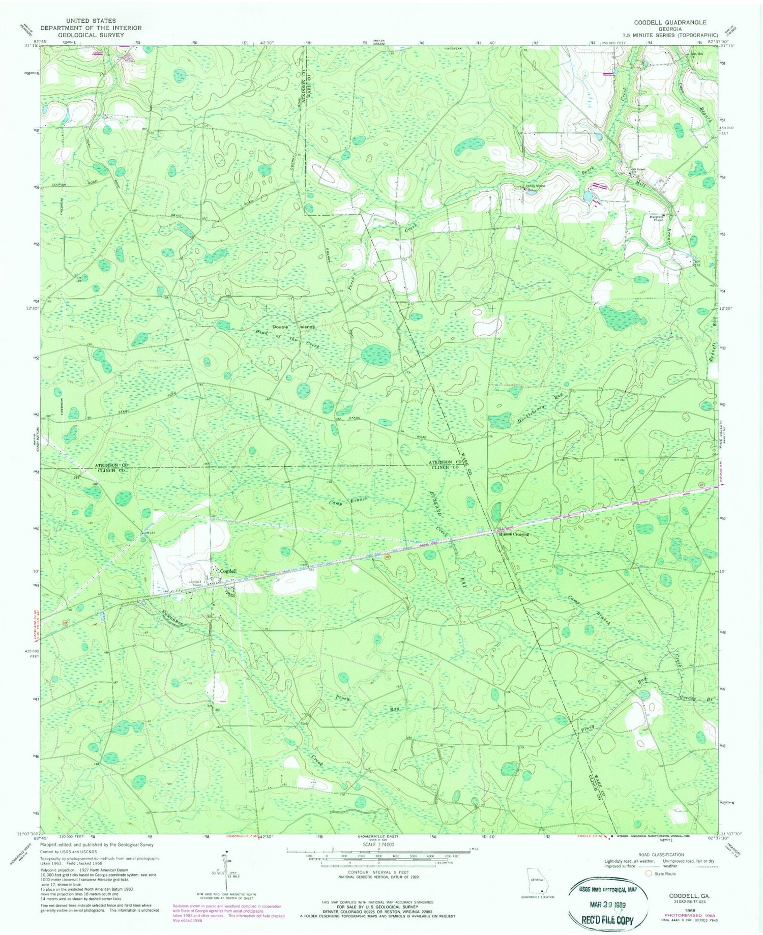
Classic USGS Cogdell Georgia 7.5'x7.5' Topo Map
Couldn't load pickup availability
Historical USGS topographic quad map of Cogdell in the state of Georgia. Map scale may vary for some years, but is generally around 1:24,000. Print size is approximately 24" x 27"
This quadrangle is in the following counties: Atkinson, Clinch, Ware.
The map contains contour lines, roads, rivers, towns, and lakes. Printed on high-quality waterproof paper with UV fade-resistant inks, and shipped rolled.
Contains the following named places: Buzzard Bay, Camp Branch Creek, Cogdell, Cogdell Census Designated Place, Cogdell Post Office, Cogdell School, Double Islands, Hargrave Chapel, Head of the Creek, Hinson Crossing, Huckleberry Bay, Indian Mound Church, Mill Branch, Mount Green Church, Piney Bay, Zion Hill Church


