MyTopo
Classic USGS Coglan Buttes SE Oregon 7.5'x7.5' Topo Map
Regular price
$16.95
Regular price
Sale price
$16.95
Unit price
per
Couldn't load pickup availability
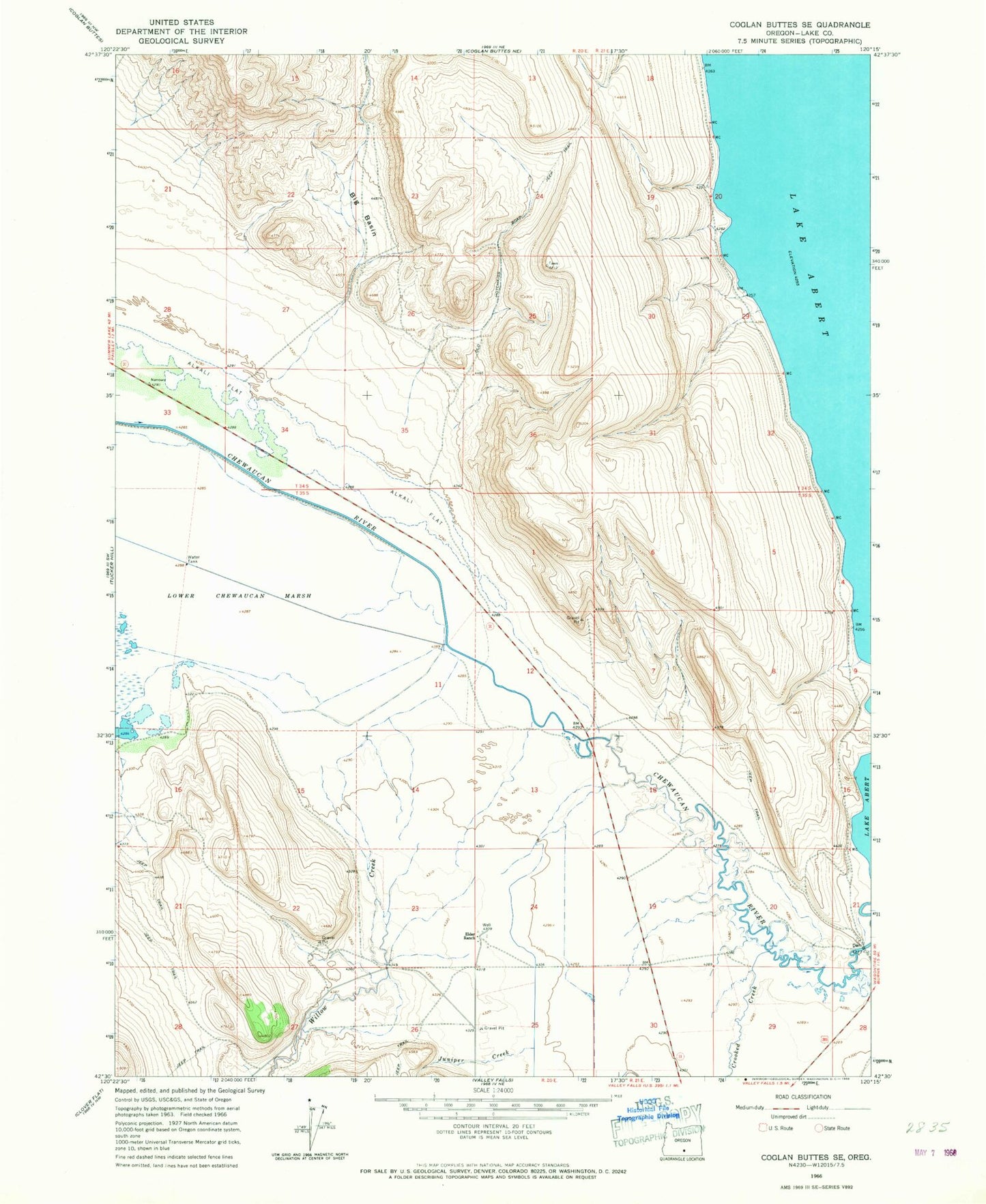
Historical USGS topographic quad map of Coglan Buttes SE in the state of Oregon. Map scale may vary for some years, but is generally around 1:24,000. Print size is approximately 24" x 27"
This quadrangle is in the following counties: Lake.
The map contains contour lines, roads, rivers, towns, and lakes. Printed on high-quality waterproof paper with UV fade-resistant inks, and shipped rolled.
Contains the following named places: Big Basin, Coyote Flat Reservoir, Crooked Creek, Curtis Ditch, Elder Ranch, Johnson Ranch, Juniper Creek, O V L Ditch, Old Hotchkiss Road Jeep Trail, Willow Creek