MyTopo
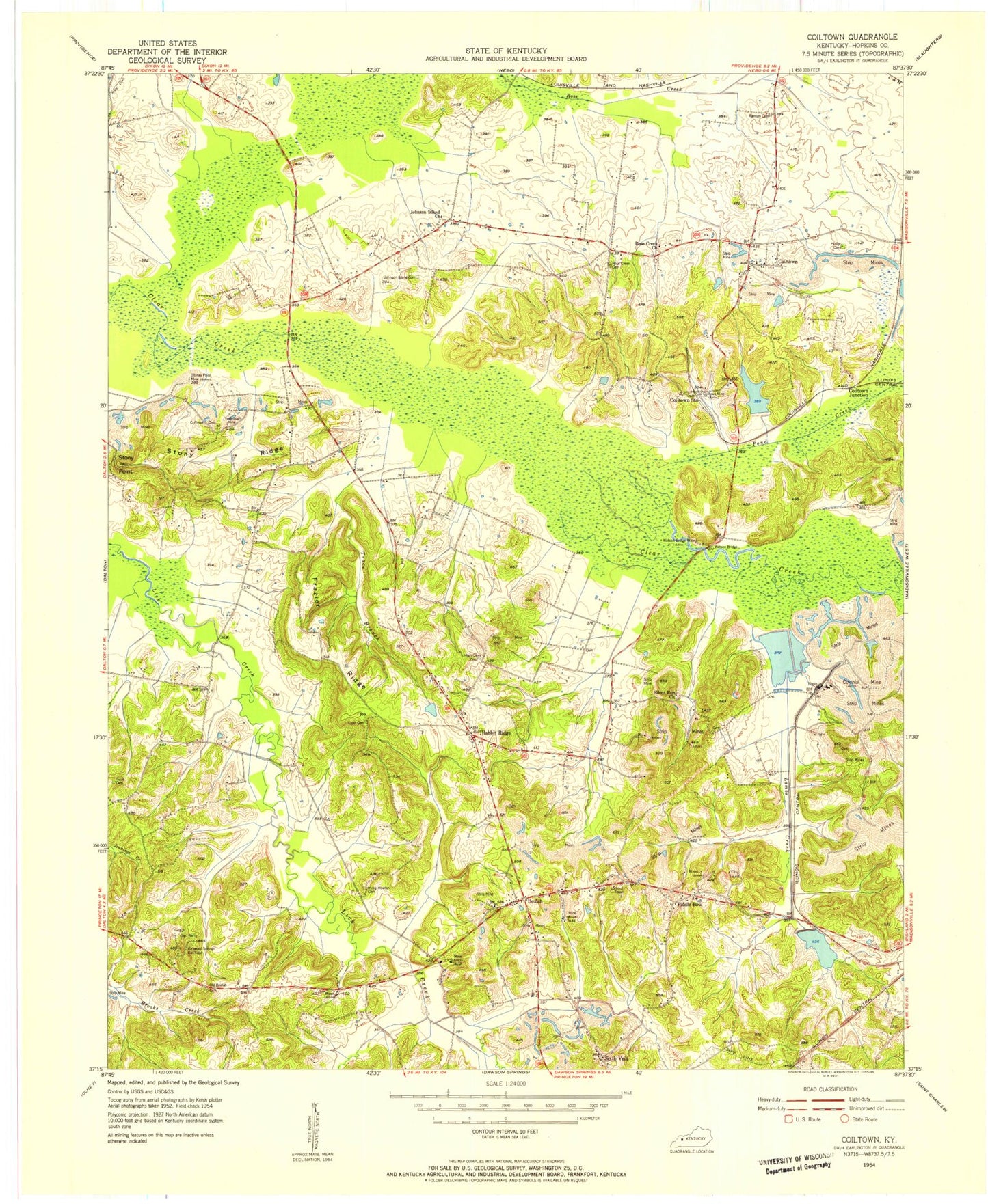
Classic USGS Coiltown Kentucky 7.5'x7.5' Topo Map
Couldn't load pickup availability
Historical USGS topographic quad map of Coiltown in the state of Kentucky. Map scale may vary for some years, but is generally around 1:24,000. Print size is approximately 24" x 27"
This quadrangle is in the following counties: Hopkins.
The map contains contour lines, roads, rivers, towns, and lakes. Printed on high-quality waterproof paper with UV fade-resistant inks, and shipped rolled.
Contains the following named places: Beulah, Coffman Cemetery, Coiltown, Coiltown Mine, Coiltown Station, Colitown Junction, Colonial Mine, Fiddle Bow, Frazier Ridge, High Glory Cemetery, Hodge Cemetery, Irving Howton Cemetery, Johnson Island, Johnson Island Cemetery, Johnson Island Church, Kirkwood Springs Gas Field, Lambs Creek, Lynn Cemetery, Old Beulah Cemetery, Pond Creek, Rabbit Ridge, Ramsey Cemetery, Rose Creek Cemetery, Rose Creek Church, Silent Run Cemetery, Silent Run Church, Sixth Vein, Stoney Point Mine, Stony Point, Stony Ridge, Trace Branch, Trent Cemetery, Watson Bridge, Watson Bridge Mine, Weirs Creek, Yarbrough Mine, ZIP Code: 42441


