MyTopo
Classic USGS Coinjock North Carolina 7.5'x7.5' Topo Map
Couldn't load pickup availability
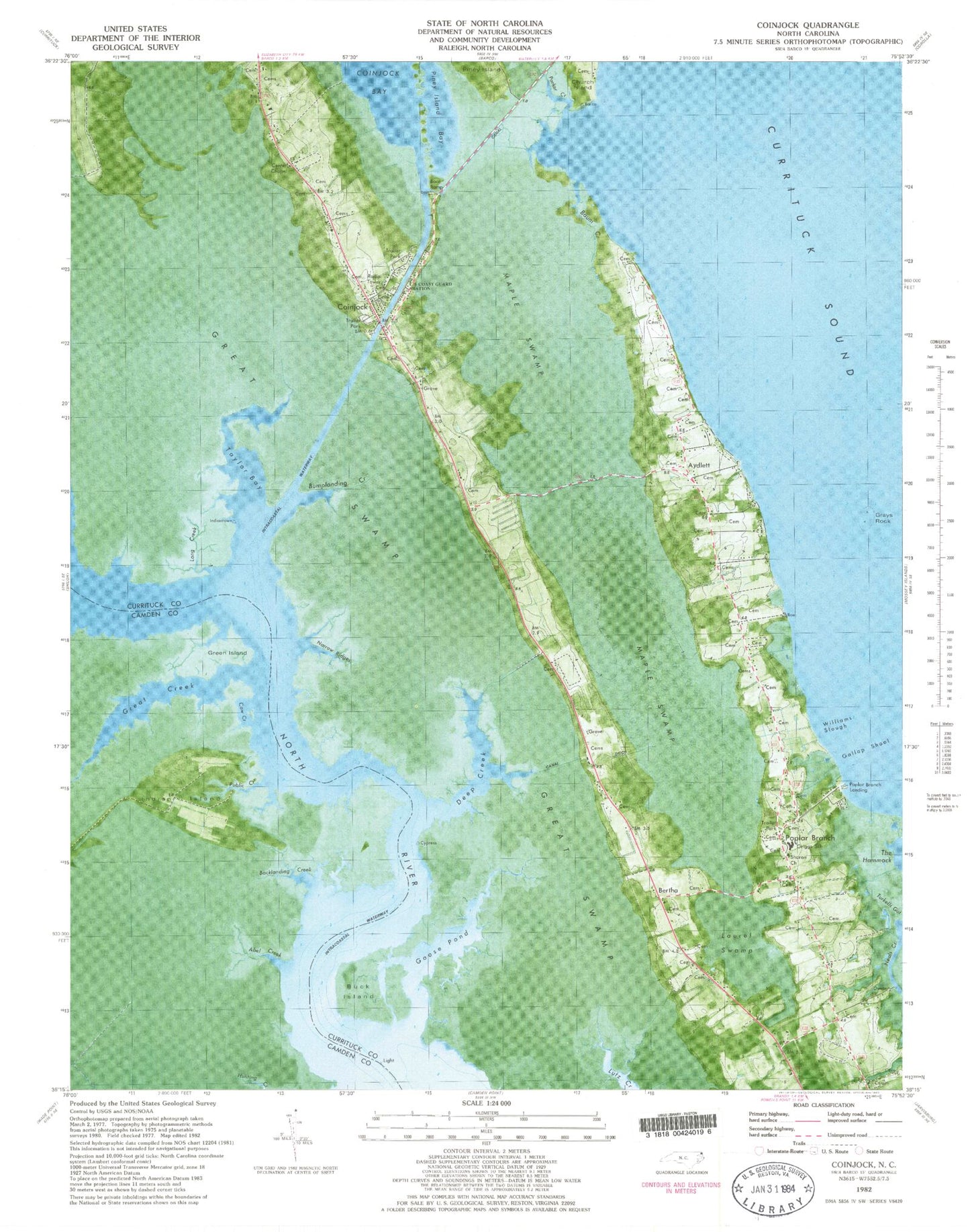
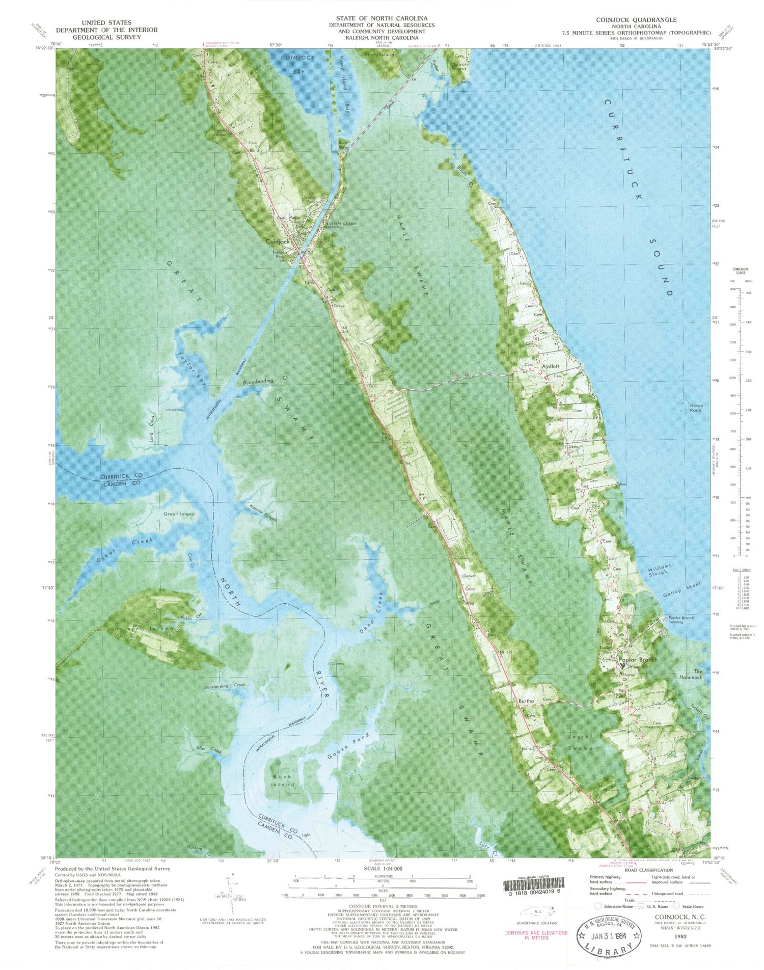
Historical USGS topographic quad map of Coinjock in the state of North Carolina. Map scale may vary for some years, but is generally around 1:24,000. Print size is approximately 24" x 27"
This quadrangle is in the following counties: Camden, Currituck.
The map contains contour lines, roads, rivers, towns, and lakes. Printed on high-quality waterproof paper with UV fade-resistant inks, and shipped rolled.
Contains the following named places: Abel Creek, Ansell Cemetery, Aydlett, Aydlett Cemetery, Aydlett Post Office, Backlanding Creek, Baum Creek, Baum Family Cemetery, Bertha, Buck Island, Bumplanding Creek, Center Chapel, Charles Wilson Forbes Cemetery, Coinjock, Coinjock Baptist Church Cemetery, Coinjock Census Designated Place, Coinjock Post Office, Cow Creek, Currituck County, Currituck County Fire and Emergency Medical Services Station 2, Currituck County High School, Currituck County Library - Main Branch, Deep Creek, Doctor W T Griggs Elementary School, Dunton Cemetery, Gallop Shoal, Goose Pond, Grays Rock, Great Creek, Great Swamp, Green Island, Green Island Creek, Indian Island, Laurel Swamp, Long Creek, Lower Currituck Volunteer Fire Department Waterlily Station, Maple Swamp, Midgett Cemetery, Midway Marina, Narrow Ridges, NI-11 Airport, Piney Island Bay, Poplar Branch, Poplar Branch Landing, Poplar Branch Post Office, Public Creek, Sharon Church, Taylor Bay, Williams Slough, ZIP Codes: 27916, 27917, 27965


