MyTopo
Classic USGS Cokesbury North Carolina 7.5'x7.5' Topo Map
Couldn't load pickup availability
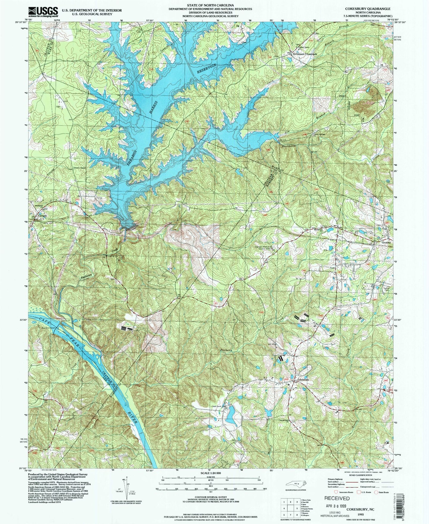
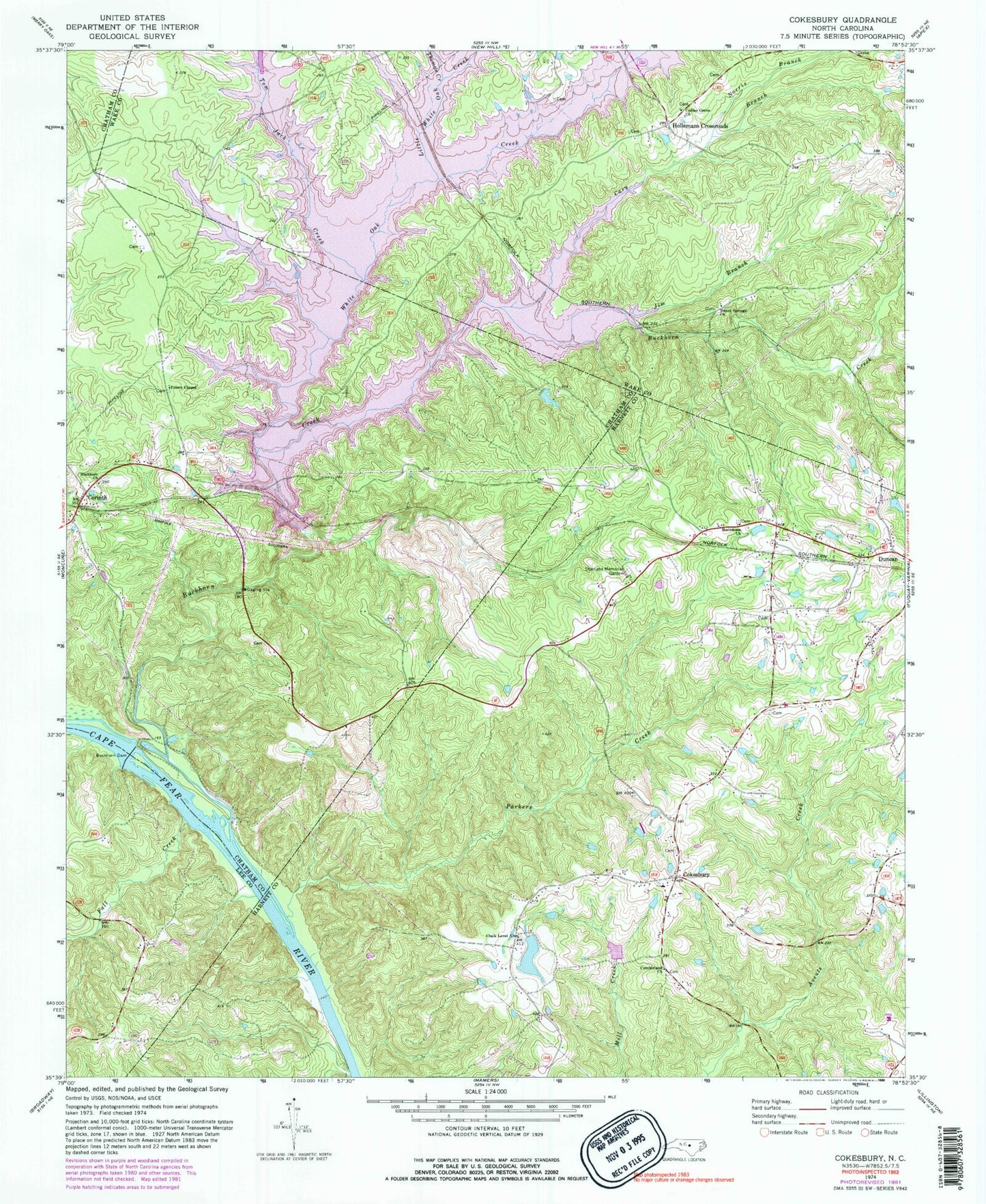
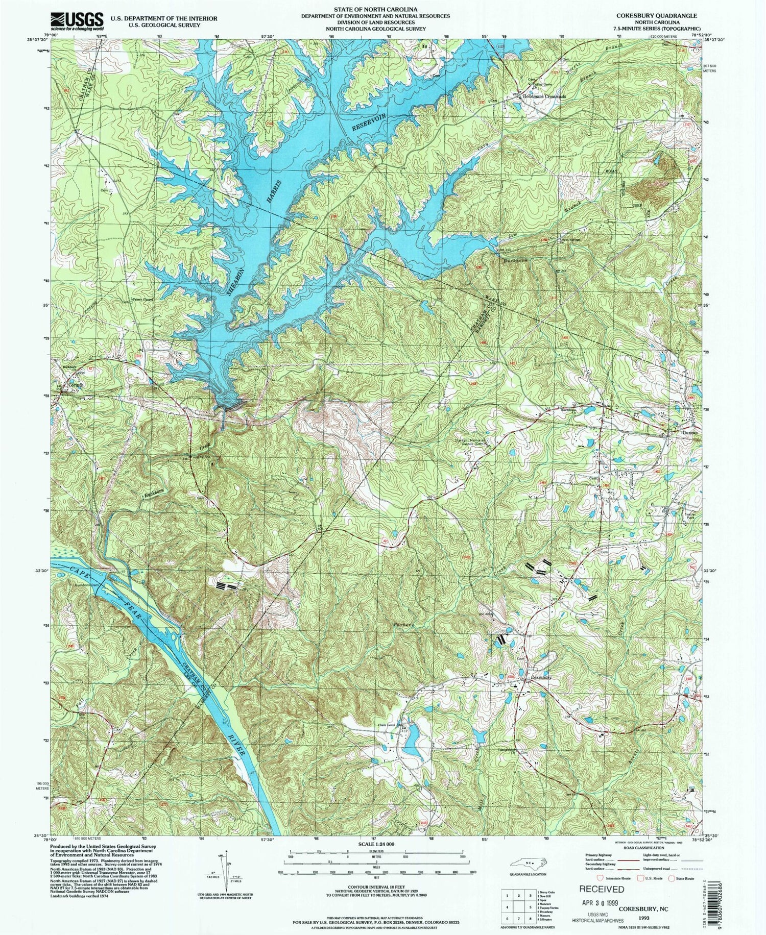
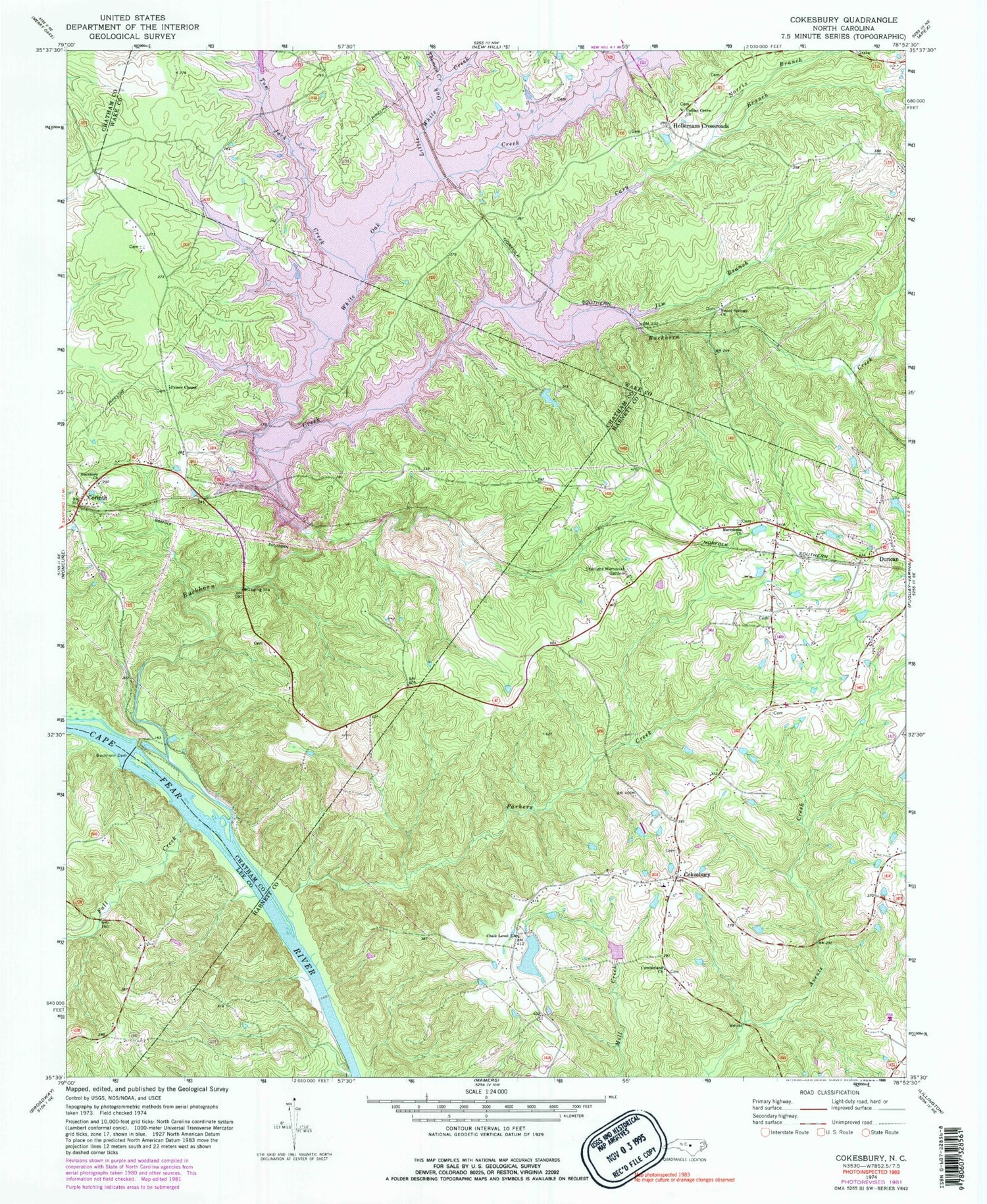
Historical USGS topographic quad map of Cokesbury in the state of North Carolina. Typical map scale is 1:24,000, but may vary for certain years, if available. Print size: 24" x 27"
This quadrangle is in the following counties: Chatham, Harnett, Lee, Wake.
The map contains contour lines, roads, rivers, towns, and lakes. Printed on high-quality waterproof paper with UV fade-resistant inks, and shipped rolled.
Contains the following named places: Buckhorn Methodist Church, Buckhorn Creek, Buckhorn Dam, Cary Branch, Chalk Level Church, Cokesbury, Collins Grove Church, Corinth, Cumberland Church, Hollemans Crossroads, Jim Branch, Little White Oak Creek, Macedonia Church, Norris Branch, Parkers Creek, Prince Chapel, Starlight Memorial Garden, Sweet Springs Church, Thomas Creek, Tom Jack Creek, White Oak Creek, Dewars Pond Dam, Dewars Pond, Buckhorn Lake, Capital Kiwanis Club Pond Dam, Capitol Kiwanis Club Pond, Buckhorn Lake Dam, Daniels Creek, Fall Creek, Shearon Harris Reservoir, Township of Buckhorn, Christian Chapel, Bethel Church (historical), Dennis Crossroads, Horse Branch


