MyTopo
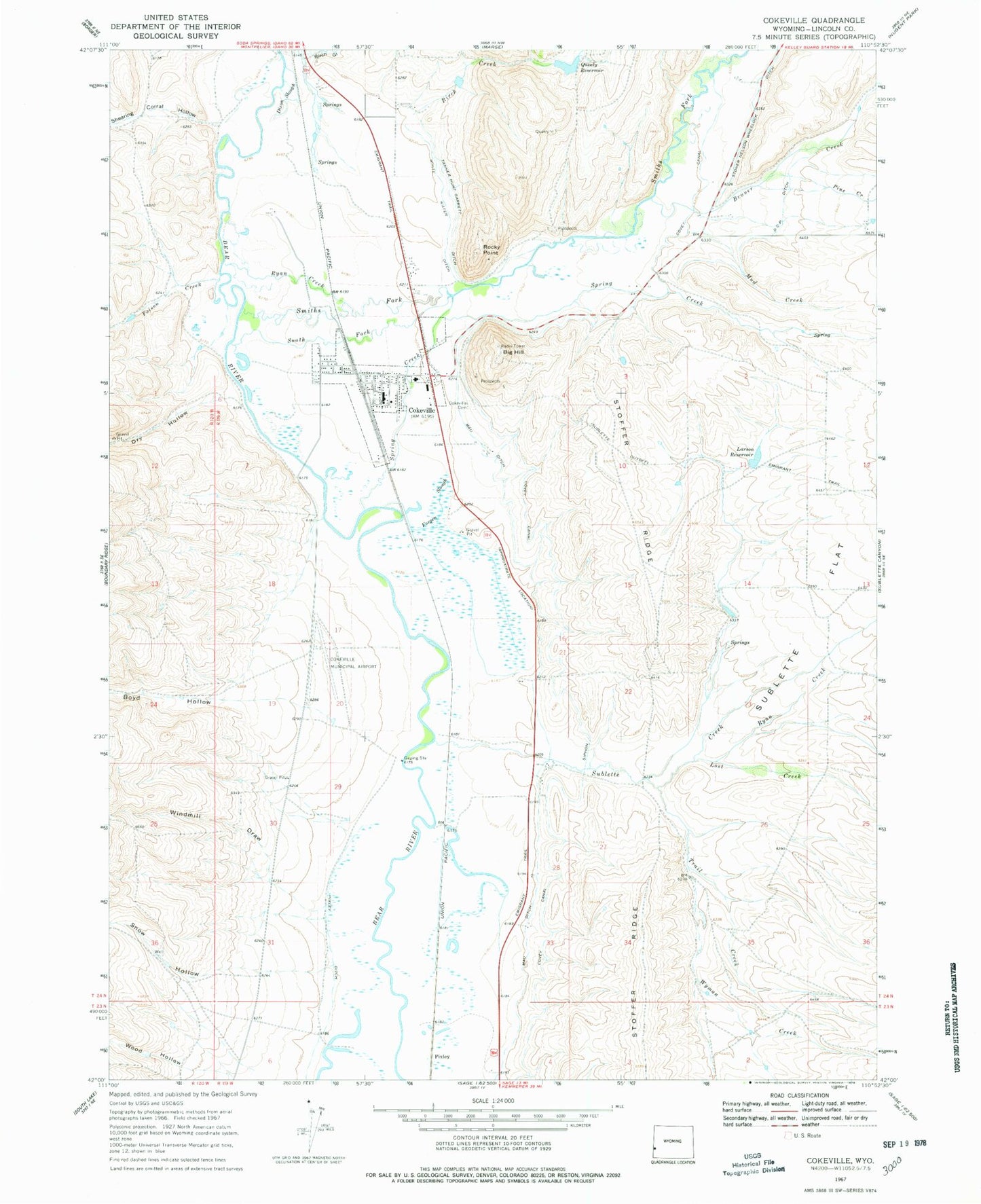
Classic USGS Cokeville Wyoming 7.5'x7.5' Topo Map
Couldn't load pickup availability
Historical USGS topographic quad map of Cokeville in the state of Wyoming. Map scale may vary for some years, but is generally around 1:24,000. Print size is approximately 24" x 27"
This quadrangle is in the following counties: Lincoln.
The map contains contour lines, roads, rivers, towns, and lakes. Printed on high-quality waterproof paper with UV fade-resistant inks, and shipped rolled.
Contains the following named places: Big Hill, Birch Creek, Birch Gulch, Boyd Hollow, Bruner Creek, Cokeville, Cokeville Cemetery, Cokeville Fire Department, Cokeville High School, Cokeville Junior High School, Cokeville Mine, Cokeville Municipal Airport, Cokeville Police Department, Cokeville Post Office, Cokeville School, D C P Ditch, Dixon Slough, Dry Hollow, Forgen Slough, Garrett Creek, Larson Reservoir, Lost Creek, Mau Ditch, Mud Creek, Pine Creek, Pixley, Poison Creek, Q P Dam, Quealy Reservoir, Rocky Point, Ryan Creek, Shearing Corral Hollow, Smiths Fork, Snow Hollow, South Fork Smiths Fork, Spring Creek, Stauffer Chemical Company Rocky Point Mine, Stoffer Ridge, Stoner Nelson Wheelock Ditch, Sublette Creek, Sublette Flat, Tanner Hunt Garrett, Taylor Census Designated Place, Town of Cokeville, Trail Creek, Tunp Range Number One Mine, White Water Ditch, Windmill Draw, Wood Hollow, Wyman Creek


