MyTopo
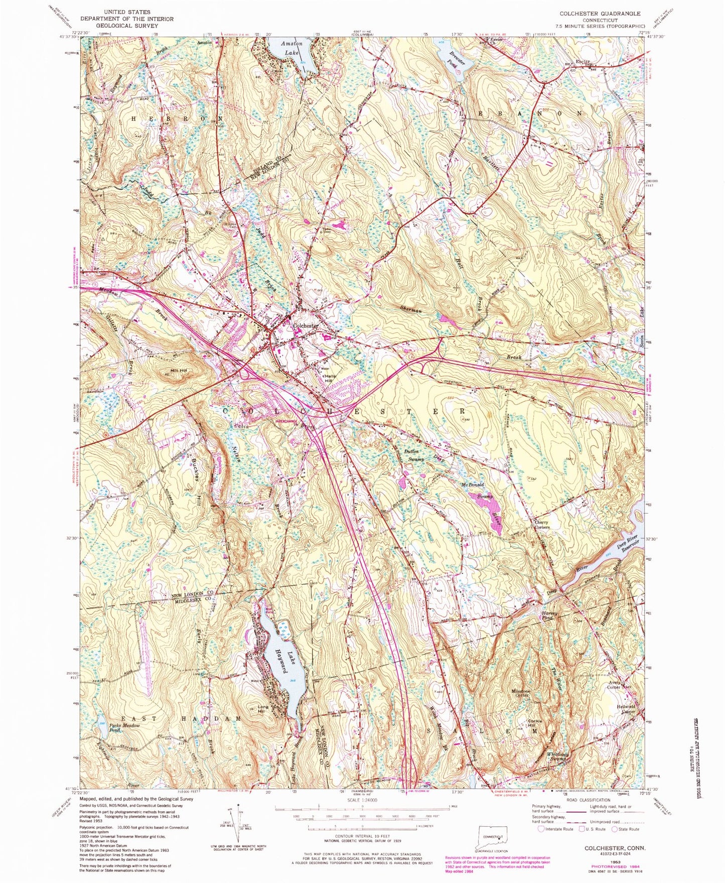
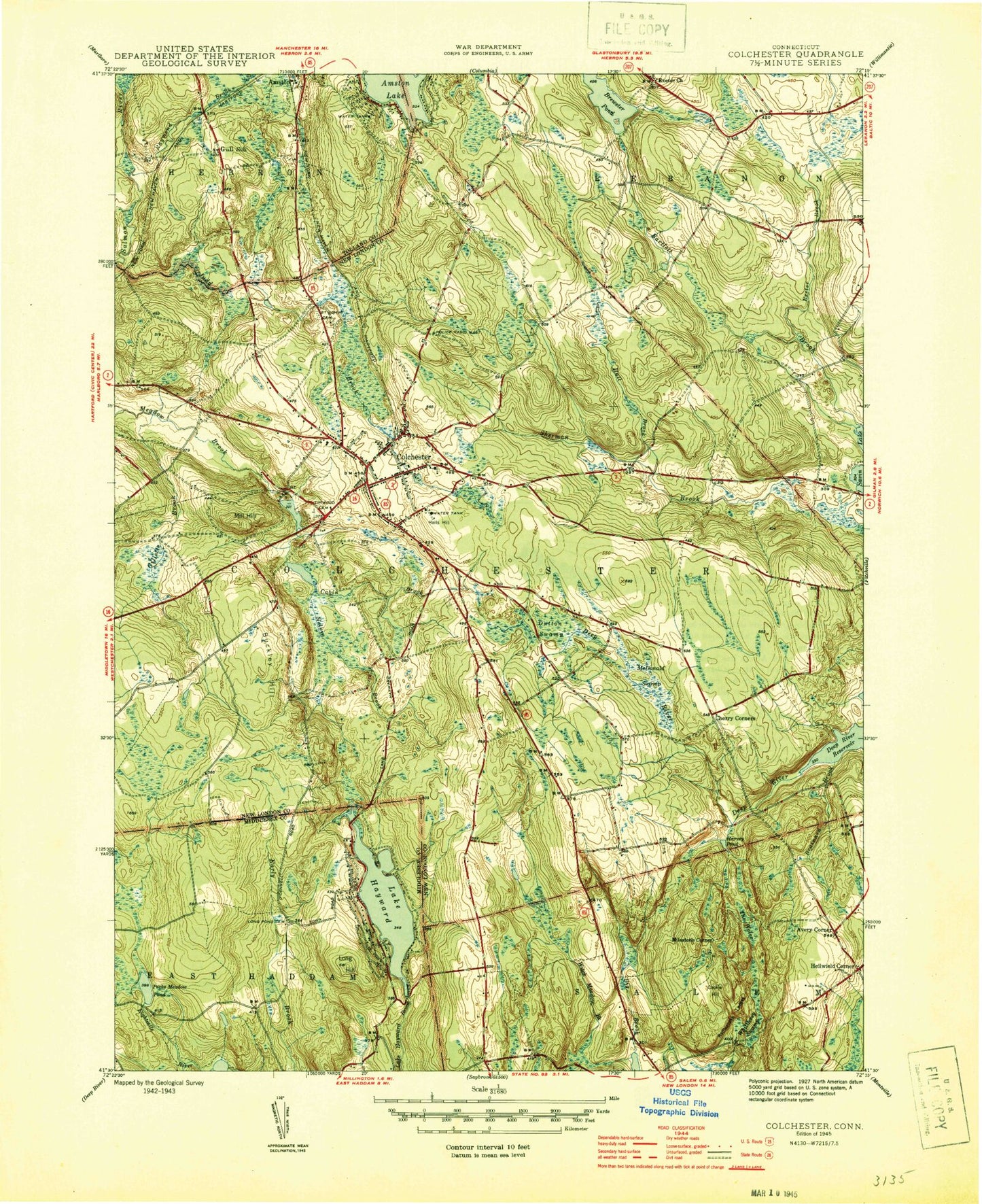
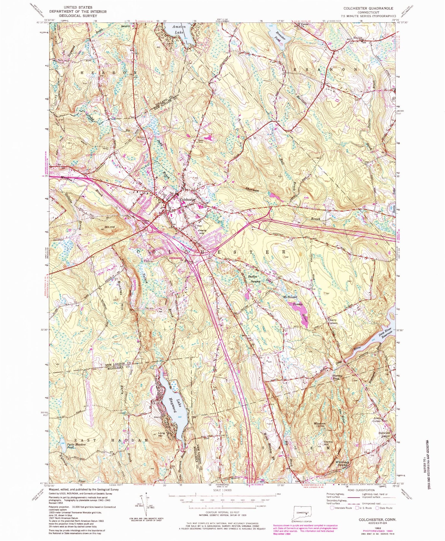
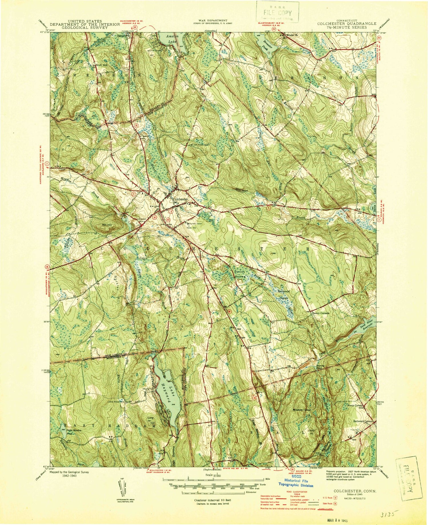
Classic USGS Colchester Connecticut 7.5'x7.5' Topo Map
Couldn't load pickup availability
Historical USGS topographic quad map of Colchester in the state of Connecticut. Map scale may vary for some years, but is generally around 1:24,000. Print size is approximately 24" x 27"
This quadrangle is in the following counties: Middlesex, New London, Tolland.
The map contains contour lines, roads, rivers, towns, and lakes. Printed on high-quality waterproof paper with UV fade-resistant inks, and shipped rolled.
Contains the following named places: Avery Corner, Bacon Academy, Bartlett Brook, Big Brook, Brainard Brook, Brewster Pond, Brewster Pond Dam, Buckley Hill, Cabin Brook, Chanticlair Golf Course, Cherry Corners, Cockle Hill, Cockle Hill Cemetery, Colchester, Colchester Assembly of God Church, Colchester Bible Baptist Church, Colchester Burying Ground Cemetery, Colchester Census Designated Place, Colchester Federated Church, Colchester Fire Marshal's Office, Colchester Hayward Volunteer Fire Company Station 1 Headquarters, Colchester Intermediate School, Colchester Police Department, Colchester Post Office, Colchester Town Hall, Connecticut State Police Troop K - Colchester, Cragin Memorial Library, Deep River Reservoir, Dutton Swamp, East Haddam Fire Company 3 Haywardville, Elisha Brook, Exeter, Exeter Brook, Exeter Cemetery, Gilletts Brook, Golden Hill Paugussett Reservation, Hall Brook, Halls Hill, Harvey Pond, Haywardville, Heilwield Corner, Jack Jackter Elementary School, Judd Brook, Lake Hayward, Linwood Cemetery, Long Hill, Long Pond Cemetery, McDonald Pond, McDonald Swamp, Milestone Corner, Mill Hill, Nelkin Brook, Pecks Meadow, Pecks Meadow Pond, Pecks Meadow Pond Dam, Plants Pond, Rattlesnake Ledges, Raymond Brook, Saint Andrews Church, Saint Johns Cemetery, Saint Marys Ukranian Church, Salem Volunteer Fire Company, Skis Landing Area, Strongs Pond, The Wales, Town of Colchester, Upper Millpond Dam, Whittlesey Swamp, William J Johnston School, Witch Meadow Brook, Witch Meadow Pond Dam, ZIP Code: 06415


