MyTopo
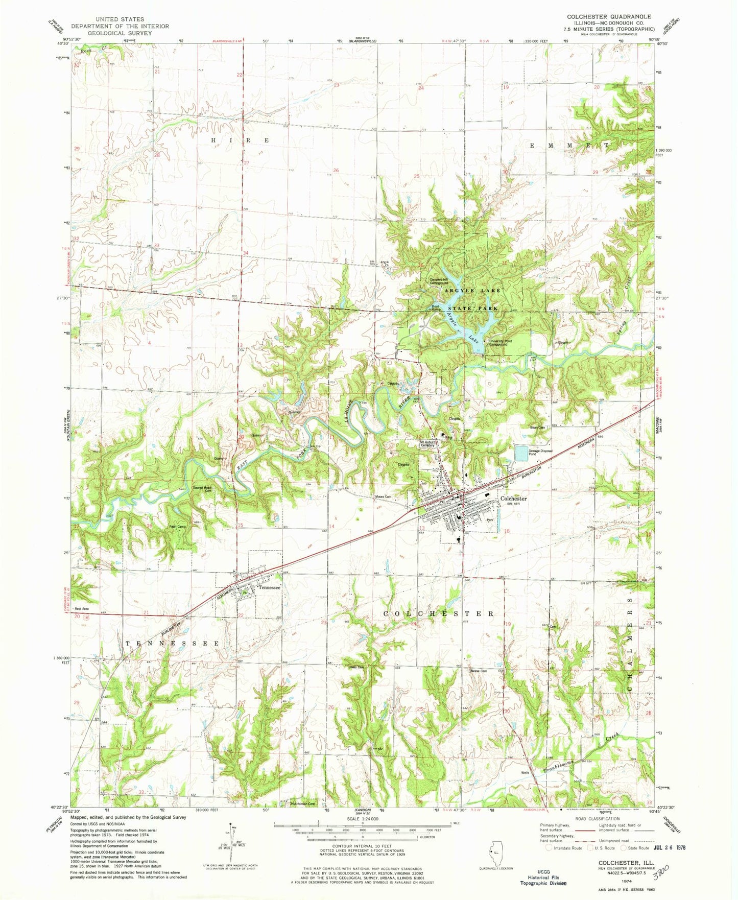
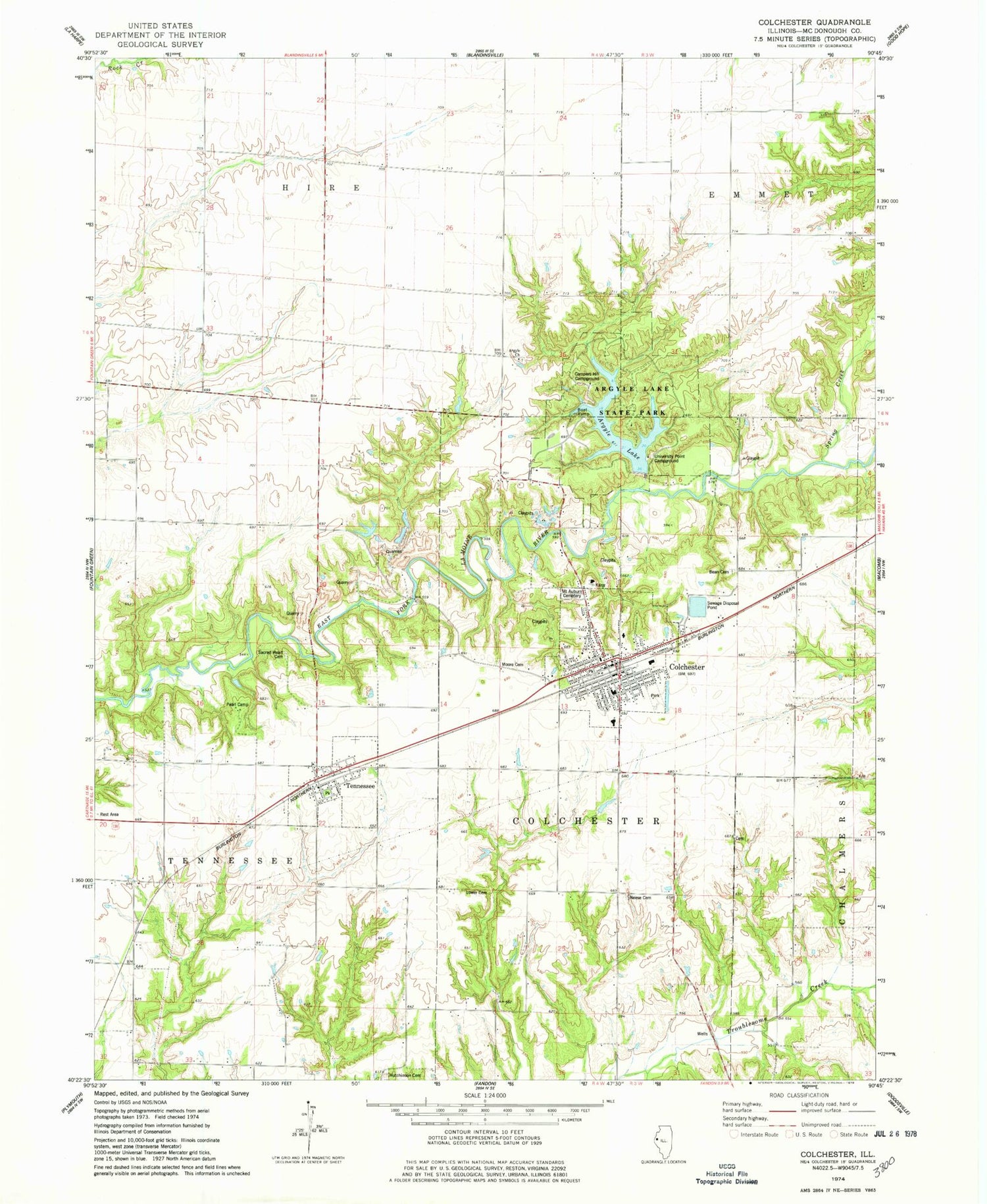
Classic USGS Colchester Illinois 7.5'x7.5' Topo Map
Couldn't load pickup availability
Historical USGS topographic quad map of Colchester in the state of Illinois. Map scale may vary for some years, but is generally around 1:24,000. Print size is approximately 24" x 27"
This quadrangle is in the following counties: McDonough.
The map contains contour lines, roads, rivers, towns, and lakes. Printed on high-quality waterproof paper with UV fade-resistant inks, and shipped rolled.
Contains the following named places: Argyle Bible Church, Argyle Cemetery, Argyle Cumberland Presbyterian Church, Argyle Hollow, Argyle Hollow Barrens Nature Preserve, Argyle Lake, Argyle Lake Dam, Argyle Lake State Park, Atkinson Cemetery, Barber Cemetery, Bean Cemetery, Bean School, Campers Hill Campground, Cedar Creek Baptist Church, Cherry Grove School, City of Colchester, Clarence Kleinkopf Round Barn, Colchester, Colchester Elementary School, Colchester Fire Protection District, Colchester High School, Colchester Junior High School, Colchester Police Department, Colchester Post Office, Colchester Quarry, Colchester United Methodist Church, Cut Off Trail, Faith Temple Assembly of God Church, First Baptist Church, Friendship Park, Hagan School, Hicks School, Hills Grove, Hume School, Hutchinson Cemetery, Independence School, Irish Lake, Irish Lake Dam, Lawyer School, Lower Cemetery, Martin School, McClure Quarries, Mount Auburn Cemetery, Mount Carmel Cumberland Presbyterian Church, Neece Cemetery, Pearl Camp, Ragtown, Ragtown School, Sacred Heart Catholic Church, Sacred Heart Cemetery, Spring Creek, Tennessee, Tennessee Post Office, Tennessee School, Tennessee United Methodist Church, Township of Colchester, Township of Tennessee, University Point Campground, Village of Tennessee, Widow Moore Cemetery, Yard School, ZIP Code: 62326


