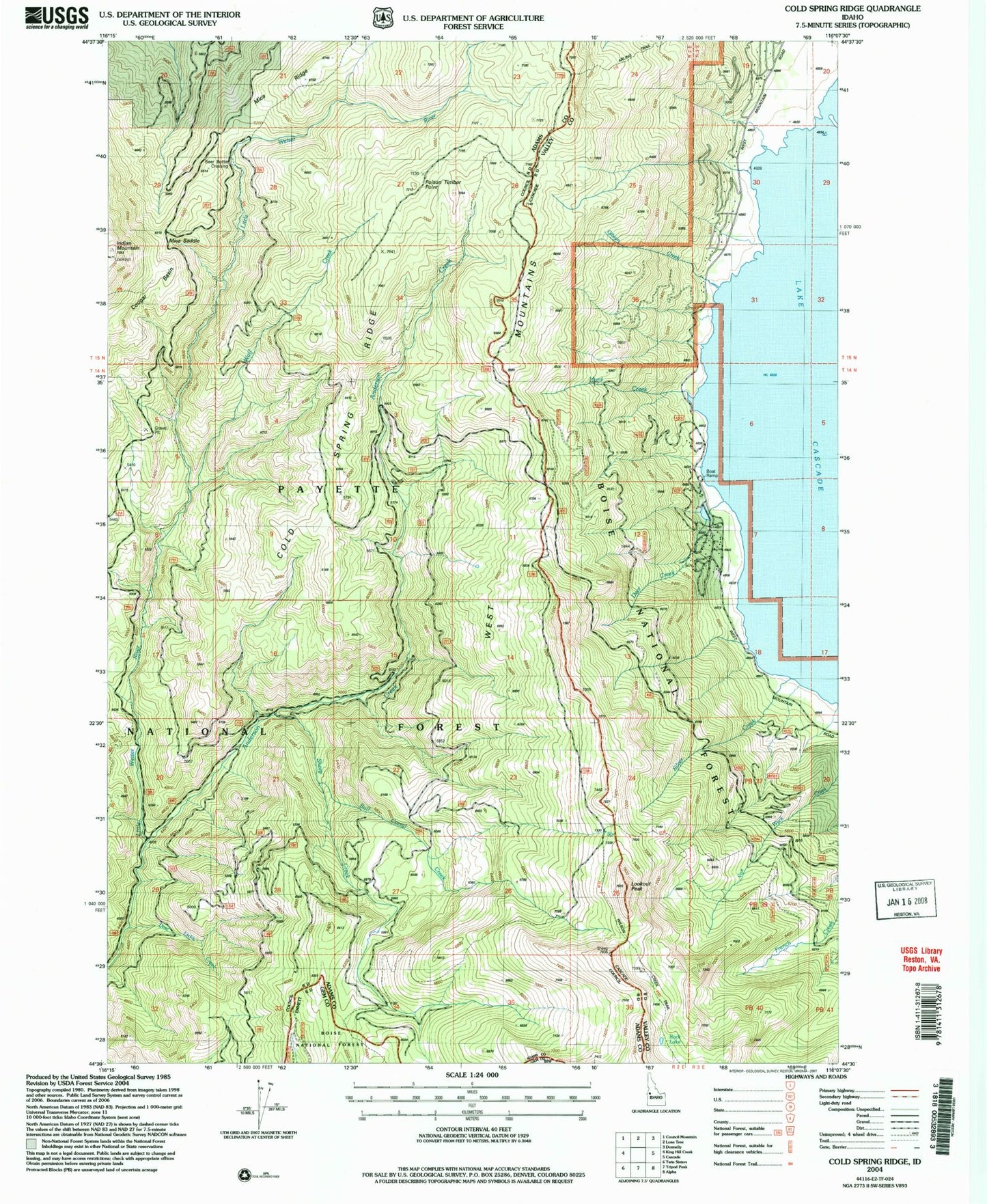
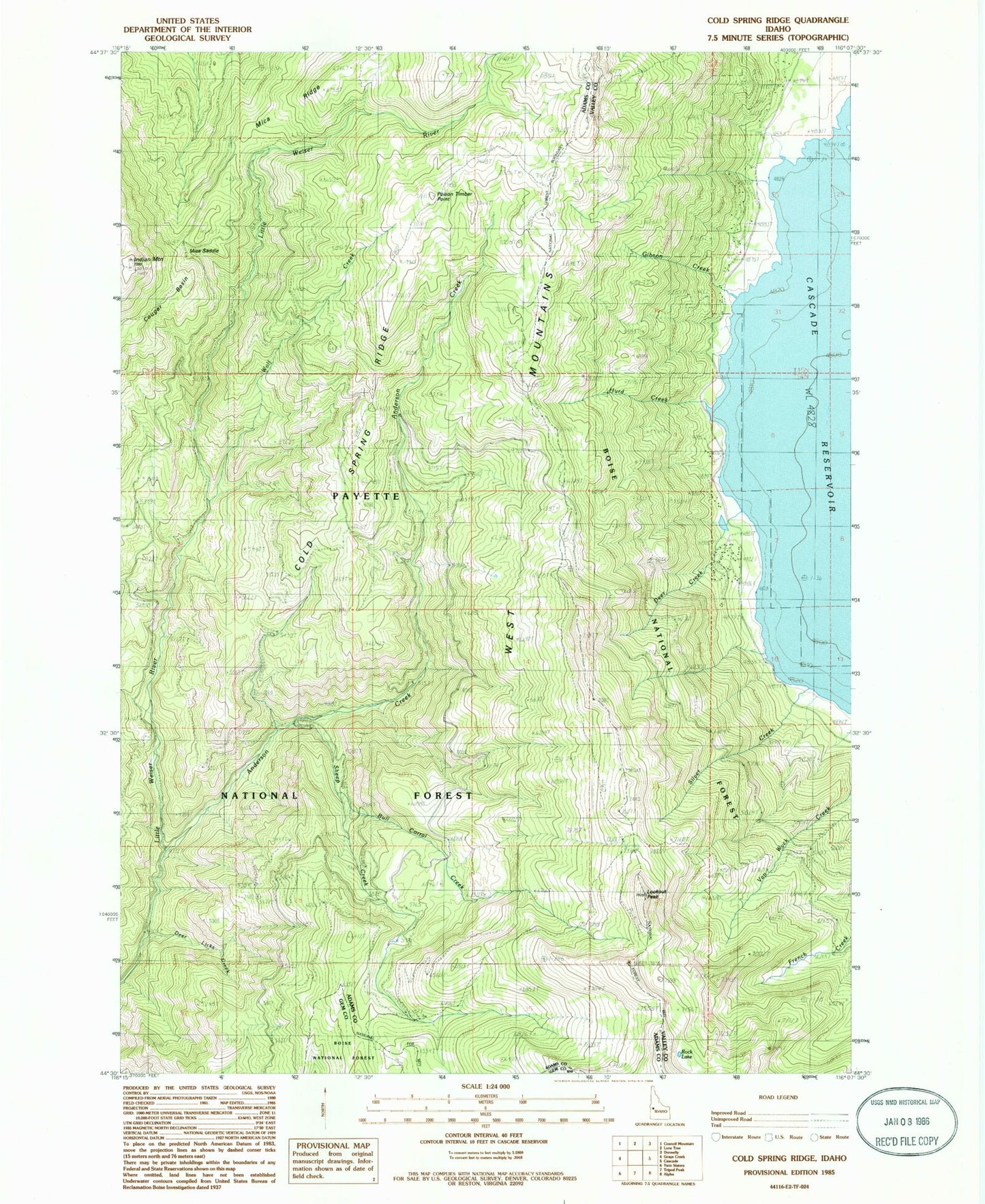
MyTopo
Classic USGS Cold Spring Ridge Idaho 7.5'x7.5' Topo Map
Couldn't load pickup availability
Historical USGS topographic quad map of Cold Spring Ridge in the state of Idaho. Map scale may vary for some years, but is generally around 1:24,000. Print size is approximately 24" x 27"
This quadrangle is in the following counties: Adams, Gem, Valley.
The map contains contour lines, roads, rivers, towns, and lakes. Printed on high-quality waterproof paper with UV fade-resistant inks, and shipped rolled.
Contains the following named places: Anderson Creek, Anderson Creek Trail, Beer Bottle Crossing, Bull Corral Creek, Burnt Wagon Basin, Cold Spring Ridge, Cougar Basin, Deer Creek, Deer Licks Creek, Evans Trail, Gibson Creek, Hurd Creek, Indian Mountain, Indian Mountain Lookout Station, Lookout Peak, Mica Saddle, Poison Timber Point, Rock Lake, Rutledge School, Scott Corral, Sheep Creek, Sheep Creek Trail, Sheep Trail, Silver Creek, Van Wyck Sheep Trail, Wolf Creek