MyTopo
Classic USGS Colden New York 7.5'x7.5' Topo Map
Couldn't load pickup availability
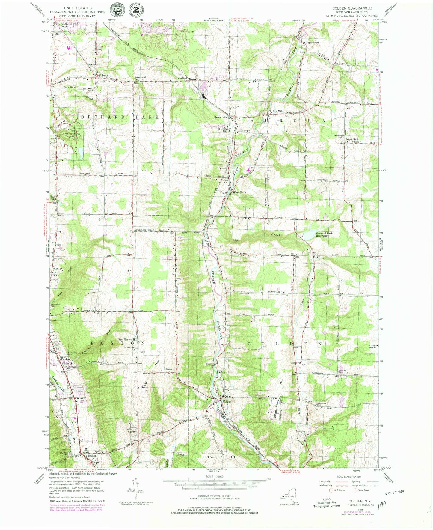
Historical USGS topographic quad map of Colden in the state of New York. Typical map scale is 1:24,000, but may vary for certain years, if available. Print size: 24" x 27"
This quadrangle is in the following counties: Erie.
The map contains contour lines, roads, rivers, towns, and lakes. Printed on high-quality waterproof paper with UV fade-resistant inks, and shipped rolled.
Contains the following named places: Anthony Gulf, Blanchard Hill, Boston, Boston Church, Colden, Duells Corner, East Boston Hill, East Hill, Ellicott, Emmanuel United Methodist Church, Enos Hollow, Gospel Hall Church, Griffins Mills, Jewettville, Maple Wood Cemetery, Orchard Park Reservoir, Partridge Cemetery, Patchin, Pipe Creek, Saint George Church, Saint Johns Cemetery, Saint Martin's Lutheran Church, Taylorshire, Union Church, West Falls, Loveland, WMJQ-FM (Buffalo), WBUF-FM (Buffalo), WIVB-TV (Buffalo), Town of Aurora, Town of Colden, Hilltop Airport, Berean Free Presbyterian Church, Patchin Fire Company, Boston Volunteer Fire Company Station 1, Hillcrest Fire Company, West Falls Fire Company, Patchin Fire Company, Colden Fire Department, Boston Post Office, Colden Post Office, West Falls Post Office, Aurora Waldorf School, Colden Elementary School, Ellicott Road Elementary School, Colden United Methodist Church, Faith United Church of Christ, Our Lady of the Sacred Heart, Redeemer Lutheran Church, Saint John the Baptist Roman Catholic Church, Saint Paul's Lutheran Church of West Falls, Wesleyan Church of Orchard, Boston Free Library, Boston Town Hall, Sprague Mobile Home Park, Orchard Heights Assisted Living Facility, Boston Emergency Squad, New York State Police Troop A Zone 2 Boston Station


