MyTopo
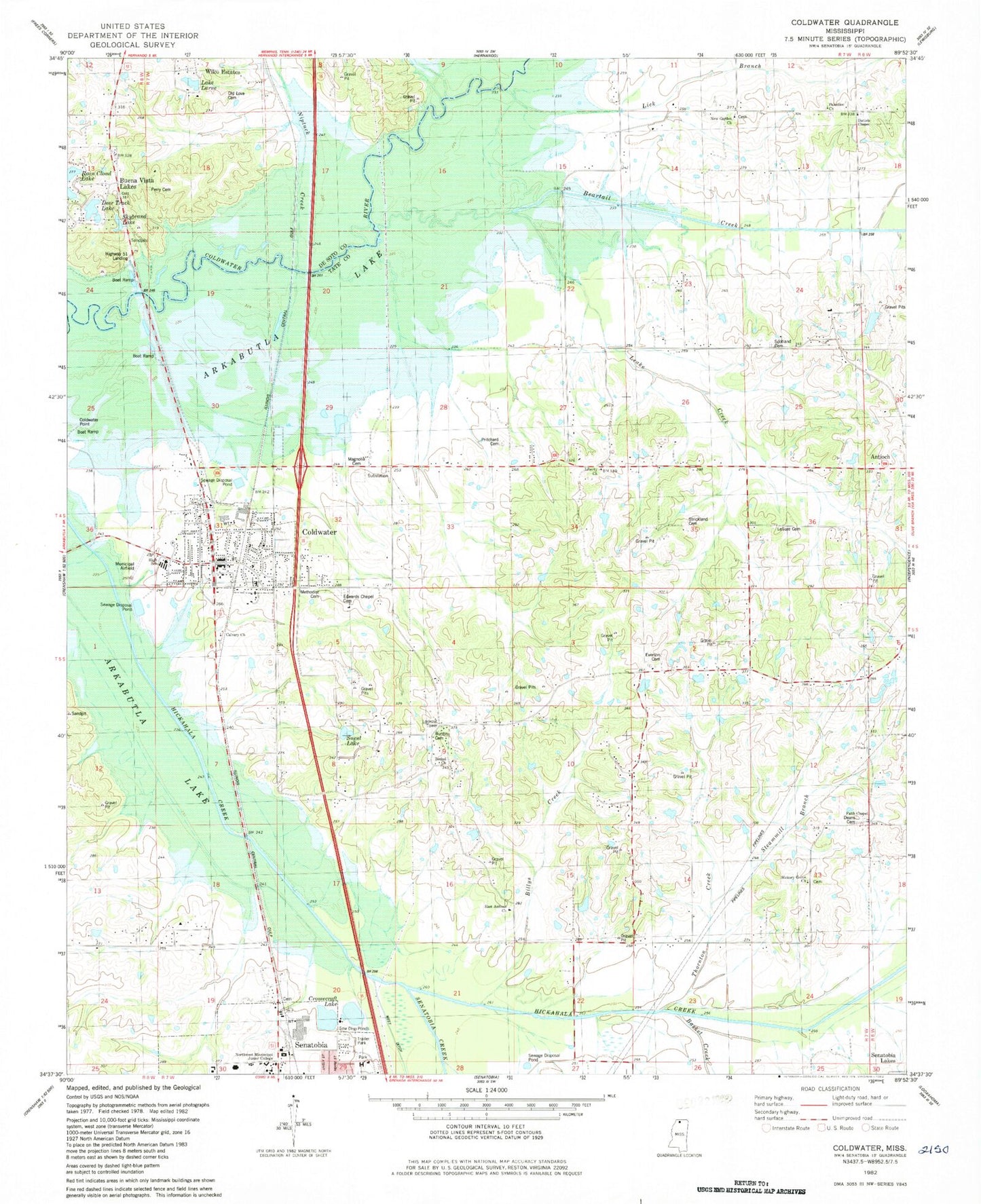
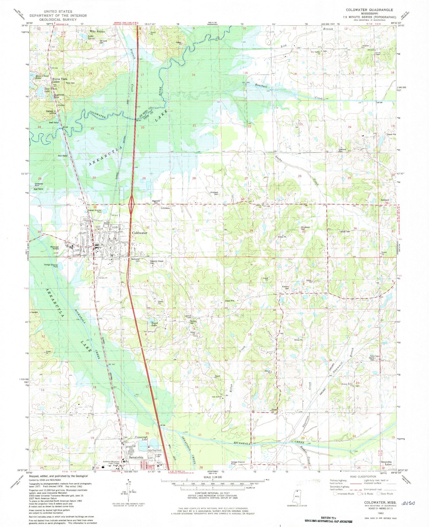
Classic USGS Coldwater Mississippi 7.5'x7.5' Topo Map
Couldn't load pickup availability
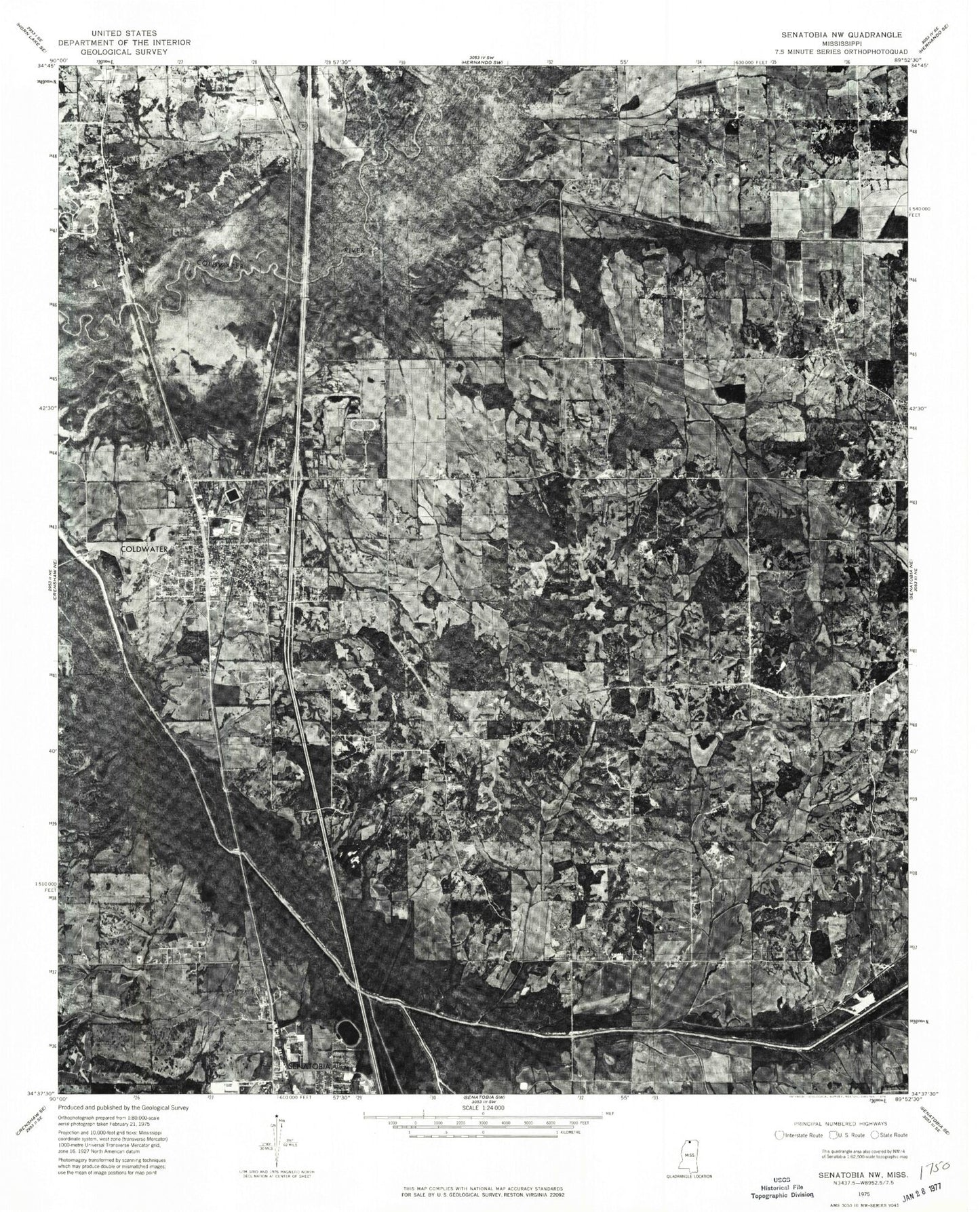
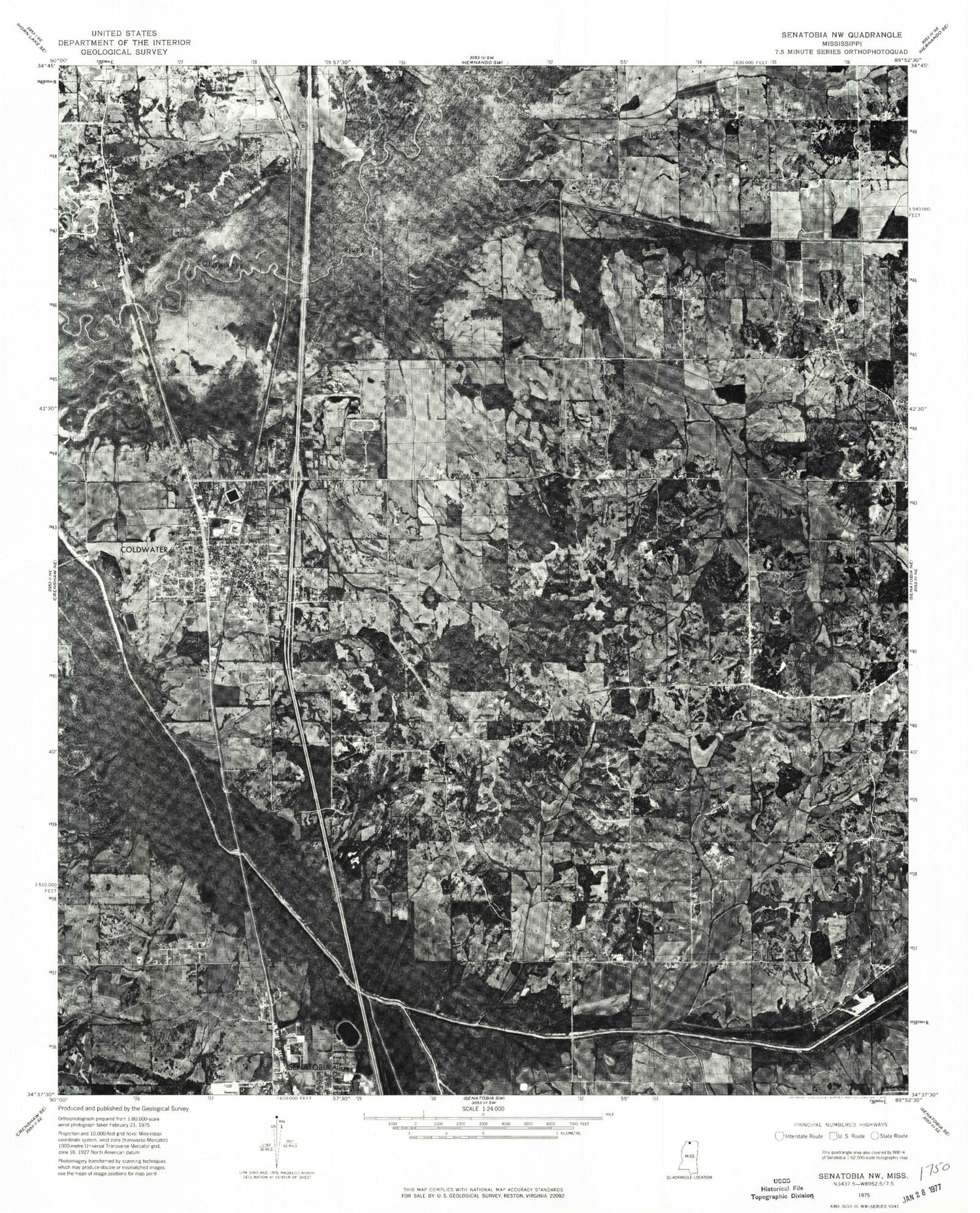
Historical USGS topographic quad map of Coldwater in the state of Mississippi. Map scale may vary for some years, but is generally around 1:24,000. Print size is approximately 24" x 27"
This quadrangle is in the following counties: DeSoto, Tate.
The map contains contour lines, roads, rivers, towns, and lakes. Printed on high-quality waterproof paper with UV fade-resistant inks, and shipped rolled.
Contains the following named places: Basket Creek, Beartail Creek, Bethel Cemetery, Bethel Church, Billys Creek, Buena Vista Lake Dam, Buntin Cemetery, Calvary Church, Central Avenue Church of Christ, Central Tate Elementary School, Coldwater, Coldwater Airport, Coldwater Cemetery, Coldwater Church of Christ, Coldwater Elementary School, Coldwater Lagoon Dam, Coldwater Point Public Use Area, Coldwater Police Department, Coldwater Post Office, Coldwater United Methodist Church, Cromecraft Lake, Daniels Chapel, Daniels Chapel Cemetery, David E Jones Pond Dam, Deans Cemetery, Deer Track Lake, Dowdy Church, Dowdy School, East Antioch Church, Edwards Chapel Cemetery, Edwin Scott Pond Dam, Elm Grove, Everson Cemetery, Faith Chapel, First Baptist Church of Coldwater, Hickory Grove Cemetery, Hickory Grove Church, Hickory Grove School, Highway Fiftyone Landing, Jackson, Lake Larue, Lashures Cemetery, Lashures School, LeSure Cemetery, Liberty Church, Magnolia Cemetery, Methodist Cemetery, Mrs T P Wilson Pond Dam, New Garden Cemetery, New Garden Church, New Garden School, Northwest Mississippi Community College, Old Love Cemetery, Palestine, Palestine Cemetery, Palestine Church, Perry Cemetery, Pritchard Cemetery, Scotland Cemetery, Scotland Church, Second Baptist Church, Senatobia Creek, Senatobia Lakes Incorporated Pond Dam, Skybrand Lake, Steammill Branch, Strickland Cemetery, Suent Lake, Supervisor District 3, Tate County, Thornton Creek, Town of Coldwater, Wilco Estates, ZIP Code: 38618


