MyTopo
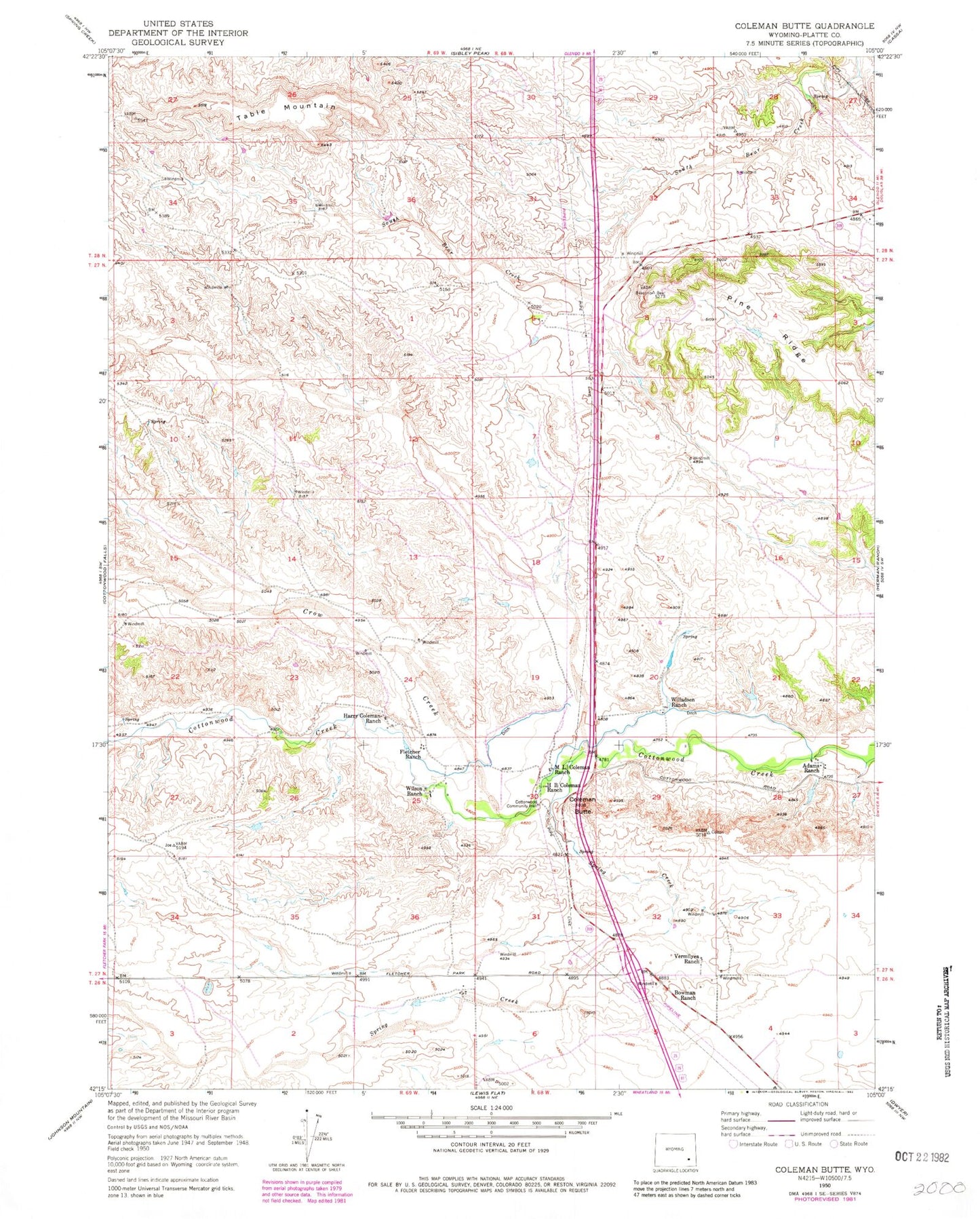
Classic USGS Coleman Butte Wyoming 7.5'x7.5' Topo Map
Couldn't load pickup availability
Historical USGS topographic quad map of Coleman Butte in the state of Wyoming. Map scale may vary for some years, but is generally around 1:24,000. Print size is approximately 24" x 27"
This quadrangle is in the following counties: Platte.
The map contains contour lines, roads, rivers, towns, and lakes. Printed on high-quality waterproof paper with UV fade-resistant inks, and shipped rolled.
Contains the following named places: Adams Ranch, Bowman Ranch, Coleman Butte, Cottonwood Community Hall, Crow Creek, El Rancho, El Rancho Census Designated Place, Fletcher Ranch, H B Coleman Ranch, Harry Coleman Ranch, M L Coleman Ranch, Pine Ridge, Spring Creek, Table Mountain, Vermilyea Ranch, Willadsen Ranch, Wilson Ranch