MyTopo
Classic USGS Coleman Hills Oregon 7.5'x7.5' Topo Map
Regular price
$16.95
Regular price
Sale price
$16.95
Unit price
per
Couldn't load pickup availability
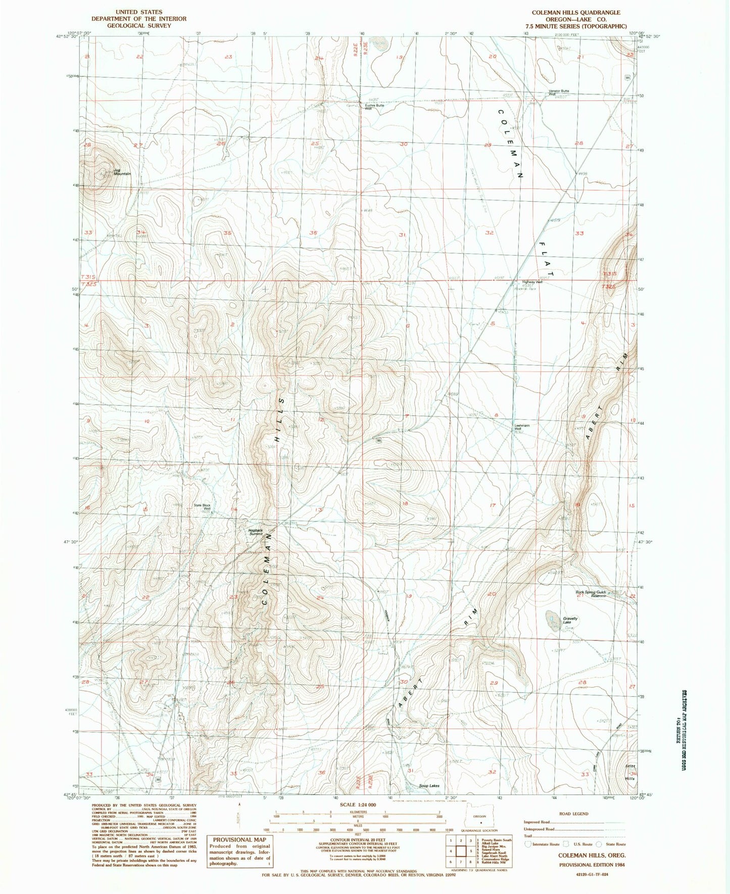
Historical USGS topographic quad map of Coleman Hills in the state of Oregon. Map scale may vary for some years, but is generally around 1:24,000. Print size is approximately 24" x 27"
This quadrangle is in the following counties: Lake.
The map contains contour lines, roads, rivers, towns, and lakes. Printed on high-quality waterproof paper with UV fade-resistant inks, and shipped rolled.
Contains the following named places: Coleman Flat, Coleman Hills, Euchre Butte Well, Highway Well, Hogback Summit, Jug Mountain, Leehmann Well, Luce Ditch, Rock Spring Gulch Reservoir, State Block Well