MyTopo
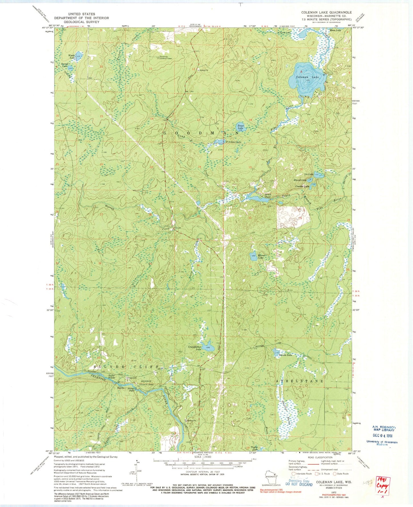
Classic USGS Coleman Lake Wisconsin 7.5'x7.5' Topo Map
Couldn't load pickup availability
Historical USGS topographic quad map of Coleman Lake in the state of Wisconsin. Typical map scale is 1:24,000, but may vary for certain years, if available. Print size: 24" x 27"
This quadrangle is in the following counties: Marinette.
The map contains contour lines, roads, rivers, towns, and lakes. Printed on high-quality waterproof paper with UV fade-resistant inks, and shipped rolled.
Contains the following named places: Avery Creek, Benson Lake, Brock Pond, Camp F Creek, Chemical Creek, Coleman Lake, Crooked Lake, D'Amour Lake, Goodman County Park, Grandfather Lake, Little Harvey Creek, Mirror Lake, Phillips Marsh, Round Lake, Second Lake, Strong Falls, Taylor Rapids, Trout Lake, Vic Lake, Woods Lake, Harvey Creek, Swede John Creek, Goodman Lookout Tower, Brock G1536.2 Dam, Brock Pond 34, Windsor Dam, Goodman Census Designated Place


