MyTopo
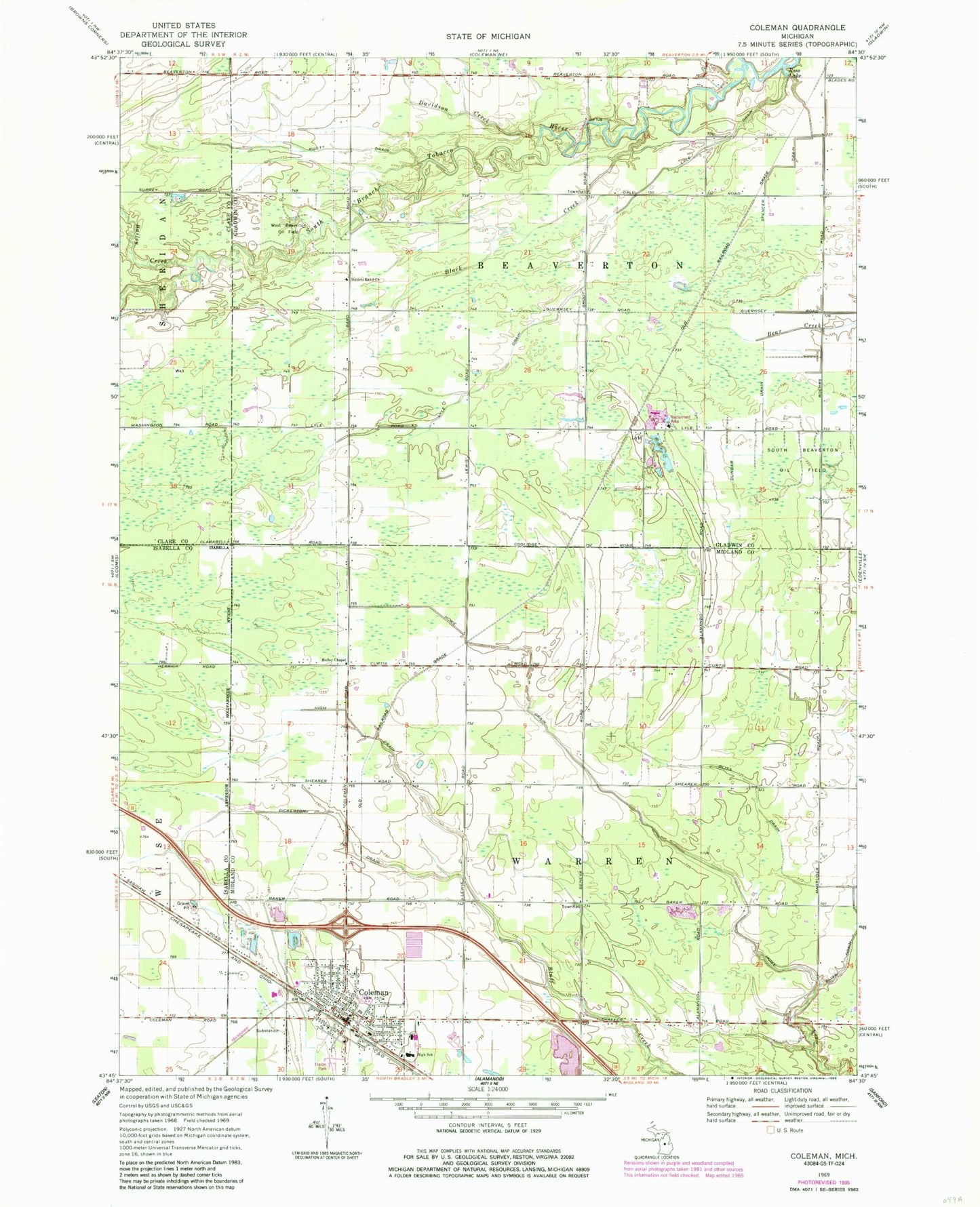
Classic USGS Coleman Michigan 7.5'x7.5' Topo Map
Couldn't load pickup availability
Historical USGS topographic quad map of Coleman in the state of Michigan. Map scale may vary for some years, but is generally around 1:24,000. Print size is approximately 24" x 27"
This quadrangle is in the following counties: Clare, Gladwin, Isabella, Midland.
The map contains contour lines, roads, rivers, towns, and lakes. Printed on high-quality waterproof paper with UV fade-resistant inks, and shipped rolled.
Contains the following named places: Bailey Creek, Bickerton Drain, Black Creek, Bliss Drain, City of Coleman, Coleman, Coleman Area Library, Coleman Assembly of God Church, Coleman Community Fire Department, Coleman Community High School, Coleman Elementary School, Coleman Family Medical Center, Coleman Middle School, Coleman Police Department, Coleman Post Office, Coleman Station, Coleman Wesleyan Church, Community of Christ Church, Daniels Band Church, Davidson Creek, Dunbar Drain, Faith United Methodist Church, Grace Baptist Church, High Drain, Holley Chapel, Howe Drain, Lost Haven Campground, Lyle, Lyle Drain, Lyle Post Office, Lyle Station, MidMichigan Medical Center Emergency Medical Services Station 10, Rilett Drain, Saint Philip Neri Church, South Beaverton Oil Field, Southgate Mobile Village, Township of Beaverton, Township of Warren, West Beaverton Oil Field, WSMZ-FM (Coleman)


