MyTopo
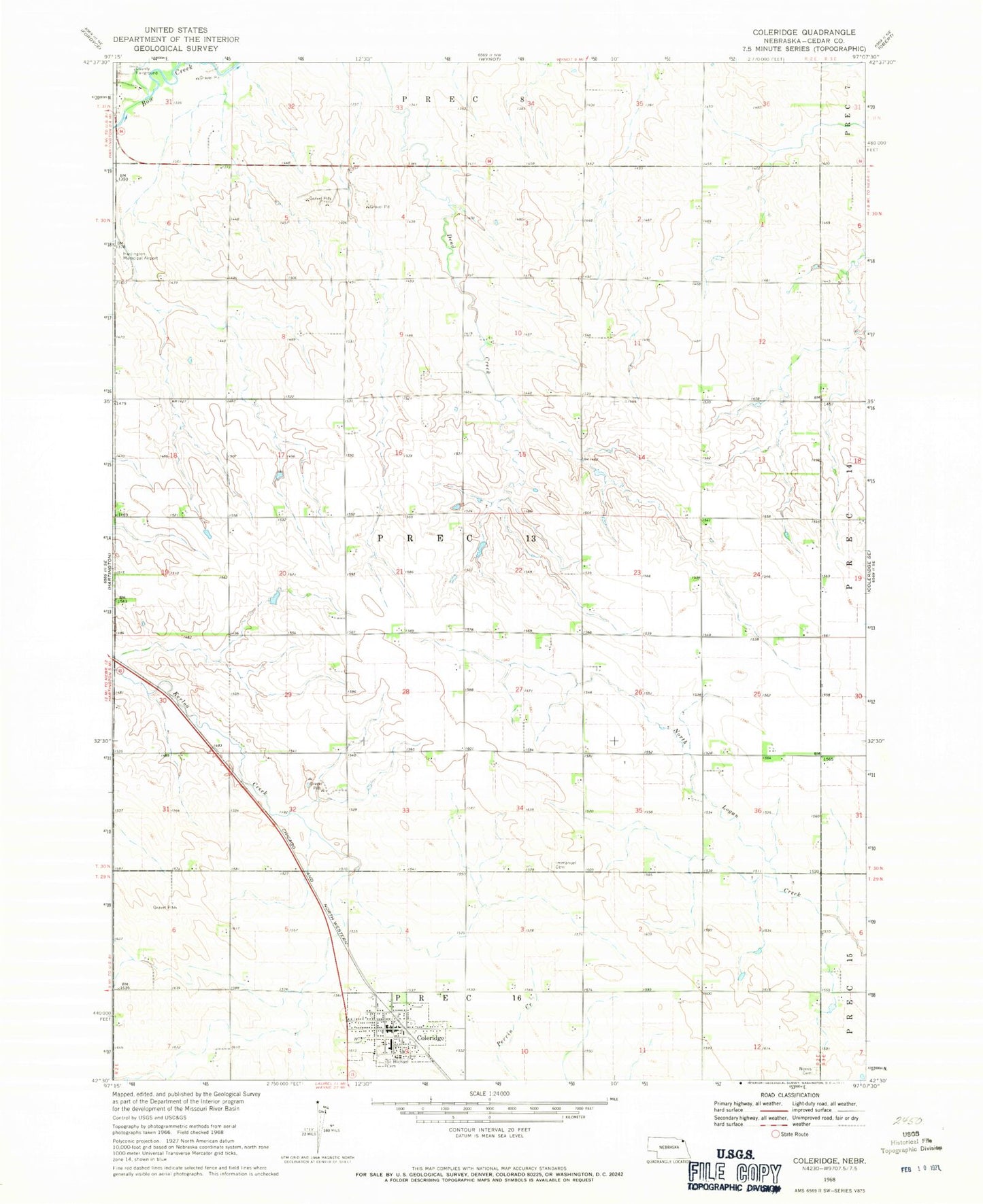
Classic USGS Coleridge Nebraska 7.5'x7.5' Topo Map
Couldn't load pickup availability
Historical USGS topographic quad map of Coleridge in the state of Nebraska. Map scale may vary for some years, but is generally around 1:24,000. Print size is approximately 24" x 27"
This quadrangle is in the following counties: Cedar.
The map contains contour lines, roads, rivers, towns, and lakes. Printed on high-quality waterproof paper with UV fade-resistant inks, and shipped rolled.
Contains the following named places: Coleridge, Coleridge Ambulance Service, Coleridge Community School, Coleridge Elevator, Coleridge Medical Clinic, Coleridge Police Department, Coleridge Post Office, Coleridge Village Park, Coleridge Village Park Campground, Coleridge Volunteer Fire Department, Congregational Church, Election Precinct 13, Immanuel Lutheran Church, Lawn Ridge Cemetery, New Life Assembly Church, Norris Cemetery, Norwegian Bow Creek, Park View Haven Nursing Home, Precinct Sixteen, Precinct Thirteen, Saint Michael Cemetery, Saint Michaels Catholic Church, Village of Coleridge, ZIP Code: 68727