MyTopo
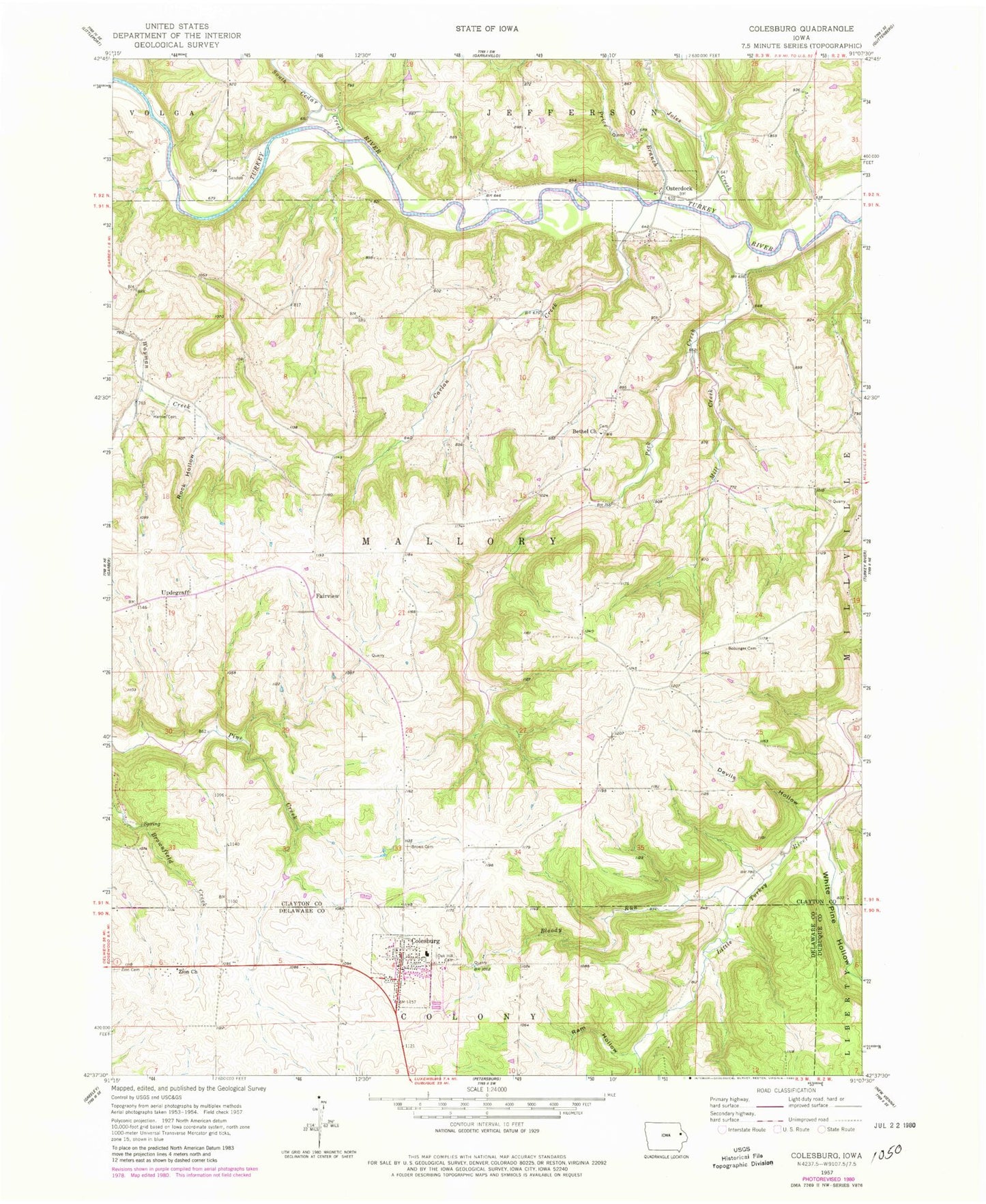
Classic USGS Colesburg Iowa 7.5'x7.5' Topo Map
Couldn't load pickup availability
Historical USGS topographic quad map of Colesburg in the state of Iowa. Map scale may vary for some years, but is generally around 1:24,000. Print size is approximately 24" x 27"
This quadrangle is in the following counties: Clayton, Delaware, Dubuque.
The map contains contour lines, roads, rivers, towns, and lakes. Printed on high-quality waterproof paper with UV fade-resistant inks, and shipped rolled.
Contains the following named places: Bethel Cemetery, Bethel Church, Bloody Run, Bolsinger Cemetery, Brown Cemetery, Carlan Creek, City of Colesburg, City of Osterdock, Colesburg, Colesburg Ambulance Department, Colesburg City hall, Colesburg Fire Department, Colesburg Library, Colesburg Post Office, Colesburg United Methodist Church, Devils Hollow, Edgewood - Colesburg Elementary School, Fairview, Hansel Cemetery, Jefferson, Johles Creek, Johles Hollow, King Cemetery, Koenig Cemetery, Lewis Cemetery, Lone Pine Golf Course, Mill Creek, Noggle Cemetery, Oak Hill Cemetery, Osterdock, Osterdock Bridge, Osterdock Bridge Access, Osterdock Post Office, Peck Creek, Peck's Ferry, Pecks Ferry Post Office, Plagmans Barn Museum, Price Branch, Ram Hollow, Ram Hollow - Hoffman Wildlife Area, Rock Hollow, Snefs, South Cedar Creek, Township of Mallory, Updegraff, Updegraff Post Office, Viola Post Office, White Pine Hollow, Zion Cemetery, Zion Church, ZIP Code: 52035


