MyTopo
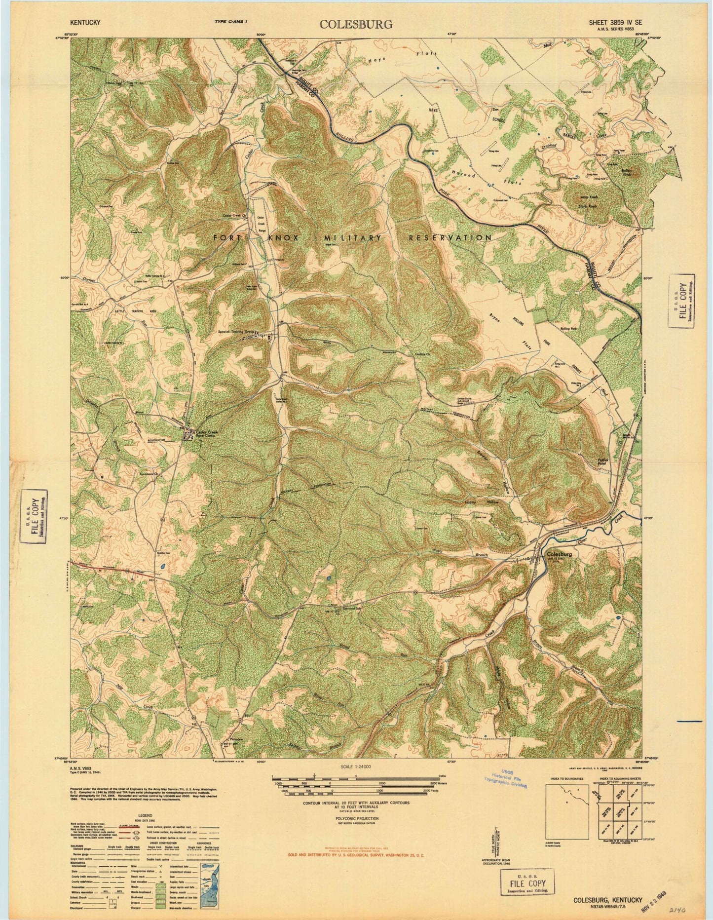
Classic USGS Colesburg Kentucky 7.5'x7.5' Topo Map
Couldn't load pickup availability
Historical USGS topographic quad map of Colesburg in the state of Kentucky. Map scale may vary for some years, but is generally around 1:24,000. Print size is approximately 24" x 27"
This quadrangle is in the following counties: Bullitt, Hardin.
The map contains contour lines, roads, rivers, towns, and lakes. Printed on high-quality waterproof paper with UV fade-resistant inks, and shipped rolled.
Contains the following named places: Atcher Cemetery, Bewley Run, Bolton Knob, Booth, Bowling Cemetery, Brewer Hollow, Broad Run, Brown Branch, Bryan Flats, Cedar Creek, Cedar Creek Cemetery, Colesburg, Crest, Crooked Creek, Daugherty Cemetery, French Cemetery, Happy Hollow, Harned Flats, Hays Flats, Larkin Cemetery, Maffet Cemetery, Maple Hollow, Mc Millen Cemetery, Mud Creek, Mud Run, Orms Knob, Patterson Chapel Cemetery, Patty Branch, Poplar Flats, Potlick Point, Rough Run, Saint Clare Church, Stader Cemetery, Stark Knob, Sulphur Branch, Sycamore Cemetery, Sycamore Church, Upper Douglas Lake, Williams Cemetery, Wooldridge Ferry Bridge


