MyTopo
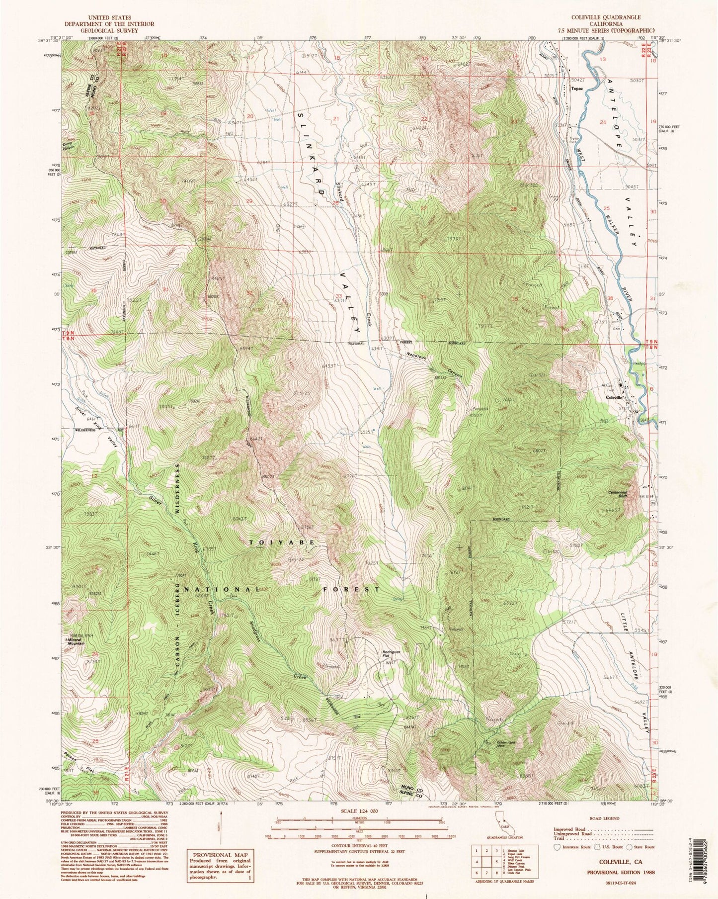
Classic USGS Coleville California 7.5'x7.5' Topo Map
Couldn't load pickup availability
Historical USGS topographic quad map of Coleville in the state of California. Typical map scale is 1:24,000, but may vary for certain years, if available. Print size: 24" x 27"
This quadrangle is in the following counties: Alpine, Mono.
The map contains contour lines, roads, rivers, towns, and lakes. Printed on high-quality waterproof paper with UV fade-resistant inks, and shipped rolled.
Contains the following named places: Lost Canyon Trail (historical), Topaz, Alkali Ditch, Centennial Bluff, Golden Gate Mine, Little Antelope Valley, Napoleon Canyon, Rodriguez Flat, Snodgrass Creek, Swager Ditch, Little Antelope Pack Station, Coleville, Topaz Post Office, Antelope Elementary School, Coleville High School, Coleville Census Designated Place, Coleville Post Office, Antelope Valley Cemetery


