MyTopo
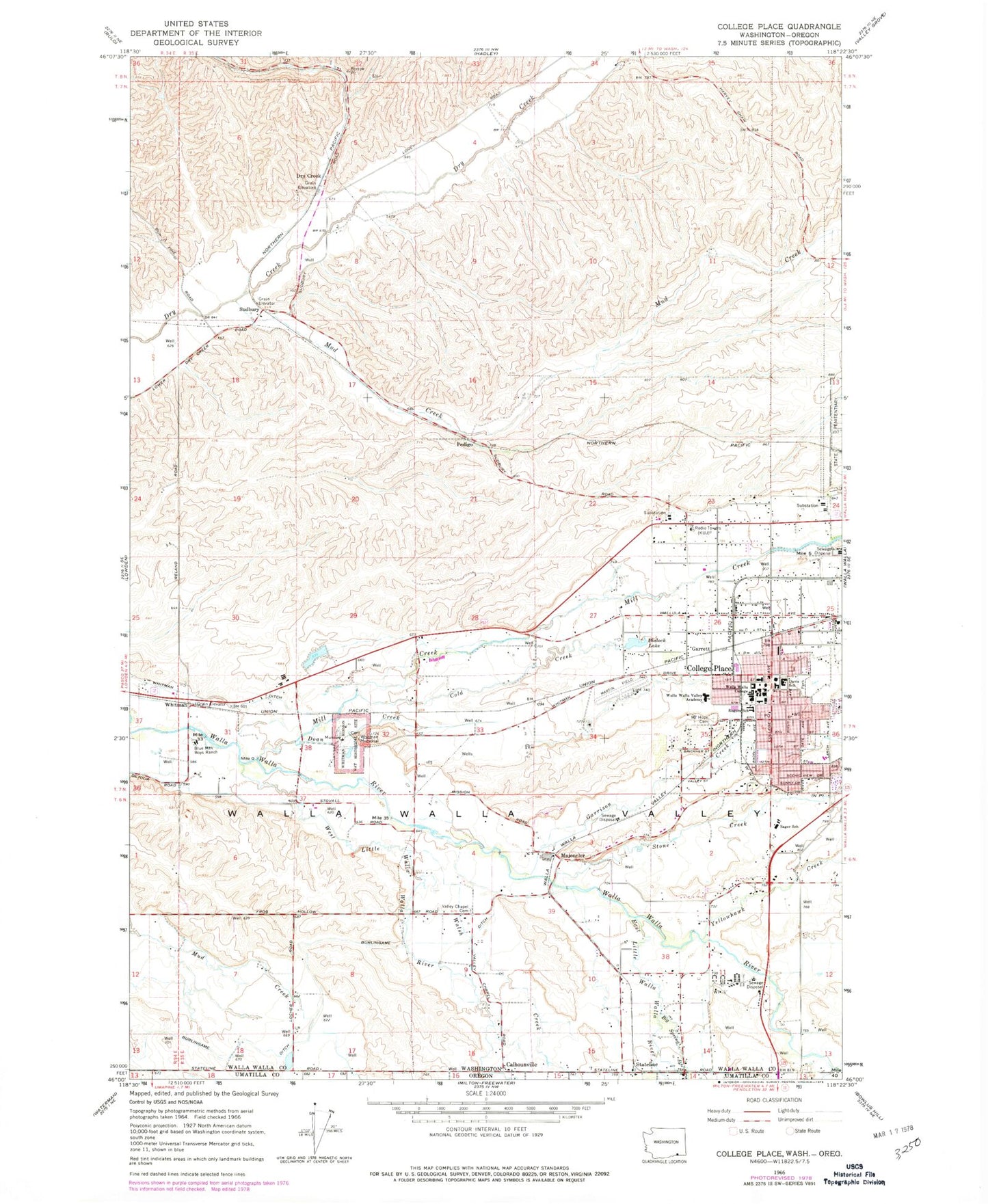
Classic USGS College Place Washington 7.5'x7.5' Topo Map
Couldn't load pickup availability
Historical USGS topographic quad map of College Place in the states of Washington, Oregon. Map scale may vary for some years, but is generally around 1:24,000. Print size is approximately 24" x 27"
This quadrangle is in the following counties: Umatilla, Walla Walla.
The map contains contour lines, roads, rivers, towns, and lakes. Printed on high-quality waterproof paper with UV fade-resistant inks, and shipped rolled.
Contains the following named places: Big Spring Branch, Big Y Shopping Center, Birch Creek, Blalock Lake, Blalock Lake Dam, Blue Mountain Boys Ranch, Braden Post Office, Calhounville, City of College Place, Clara E Rogers Elementary School, Cold Creek, College Place, College Place Fire Department, College Place Police Department, College Place Post Office, Davis Elementary School, Dixie Crossing, Doan Creek, Dry Creek, East Little Walla Walla River, East Prong Little Walla Walla River, Garrett, Garrett Census Designated Place, Garrison Creek, Grandview Creek, Great Grave, John Sager Middle School, Kiwanis Park, KUJ-AM (Walla Walla), Lyons City Park, Martin Field, Mill Creek, Mojonnier, Mount Hope Cemetery, Mud Creek, Pedigo, Stateline, Stiller Dam, Stone Creek, Sudbury, Tausick Swimming Pool, Twilight, Valley Chapel Cemetery, Village Square, Waiilatpo, Walla Walla County Fire District 4 Station 42, Walla Walla County Fire District 4 Station 44, Walla Walla University, Walla Walla Valley Academy, Walsh Creek, West Little Walla Walla River, West Prong Little Walla Walla River, Whitman, Whitman Memorial, Whitman Mission National Historic Site, Yellowhawk Creek, ZIP Code: 99324


