MyTopo
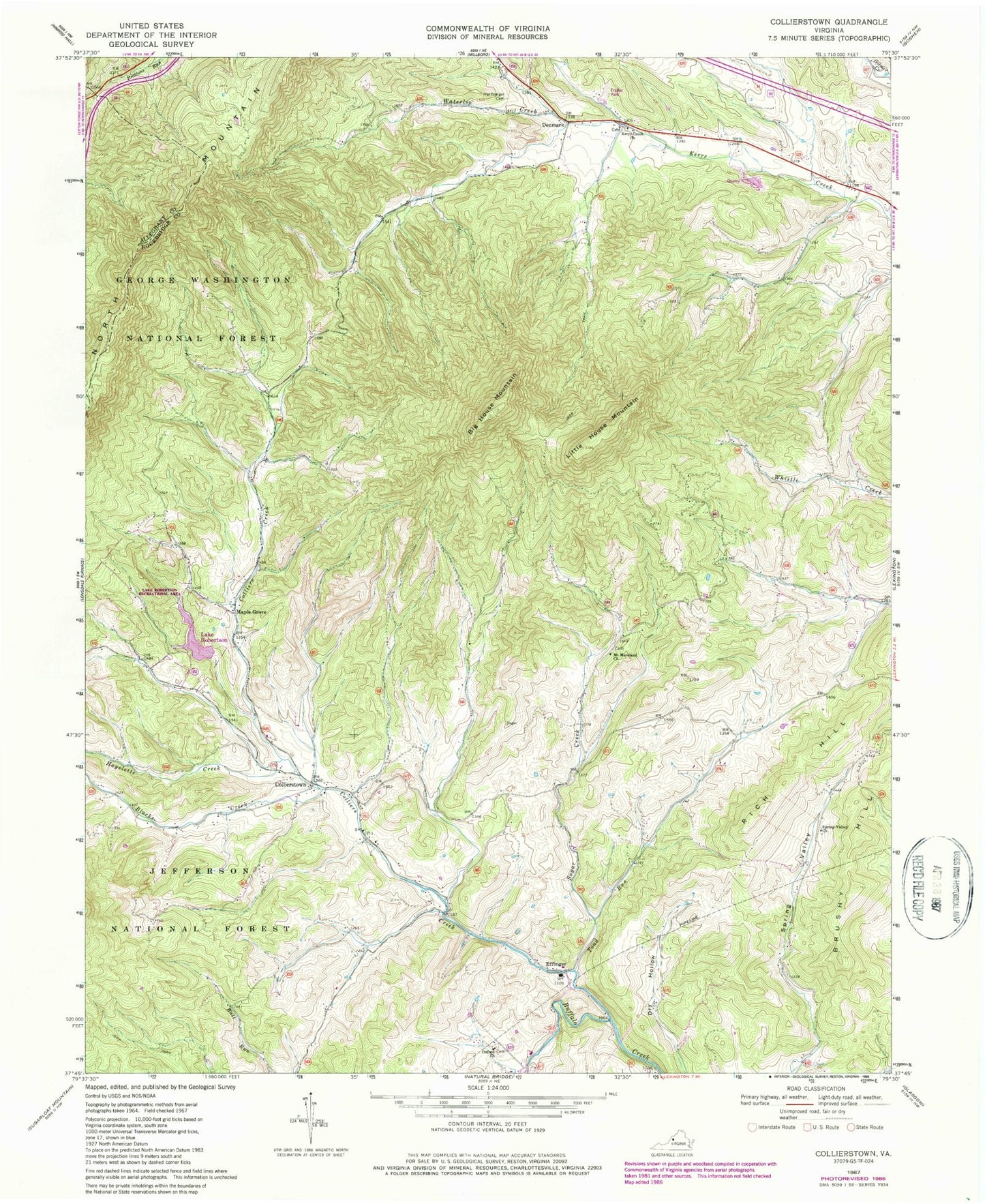
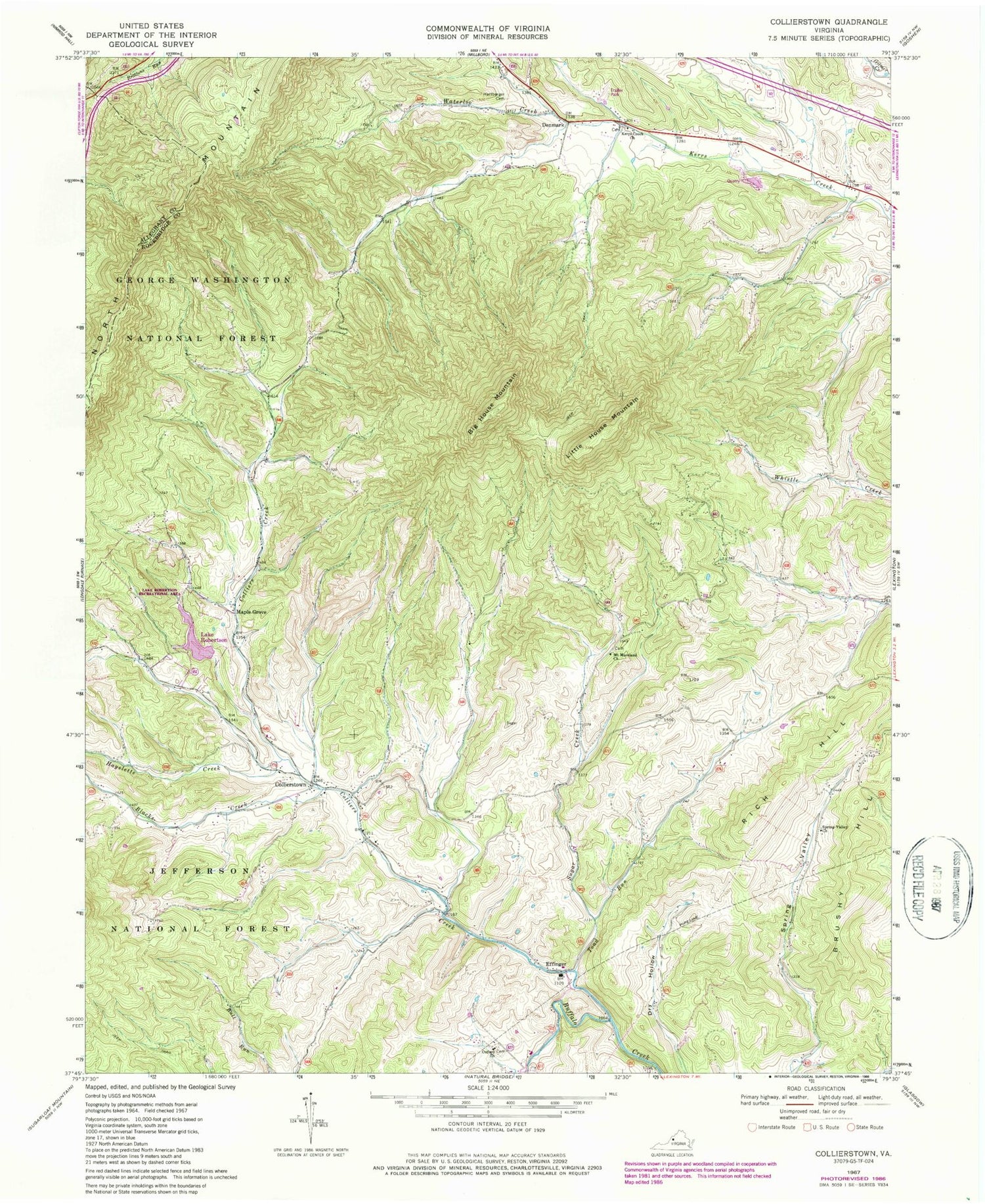
Classic USGS Collierstown Virginia 7.5'x7.5' Topo Map
Couldn't load pickup availability
Historical USGS topographic quad map of Collierstown in the state of Virginia. Typical map scale is 1:24,000, but may vary for certain years, if available. Print size: 24" x 27"
This quadrangle is in the following counties: Alleghany, Rockbridge.
The map contains contour lines, roads, rivers, towns, and lakes. Printed on high-quality waterproof paper with UV fade-resistant inks, and shipped rolled.
Contains the following named places: Big House Mountain, Blacks Creek, Colliers Creek, Hartbarger Cemetery, Hayslette Creek, Kerrs Creek Church, Linkswiler Branch, Little House Mountain, Mount Moreland Church, Oxford Church, Rich Hill, Spring Valley, Spring Valley Church, Sugar Creek, Toad Run, Waterloo Creek, Lake Robertson Recreational Area, Lake Robertson, Top Dirve Overlook, Robertson Dam, Collierstown, Denmark, Effinger, Maple Grove, Effinger Elementary School, Herbert B Chittum Bridge, Collierstown Cemetery, Denmark School (historical), House Mountain Church (historical), Kerrs Creek Cemetery, Kerrs Creek Church (historical), Mount Moreland Cemetery, New Hope Church (historical), Oxford Cemetery, Spring Valley School (historical), Unexpected Church (historical), Unexpected School (historical), Waterloo School (historical), Kerrs Creek District, Effinger Volunteer Fire Department Company 1


