MyTopo
Classic USGS Collins Rim Oregon 7.5'x7.5' Topo Map
Couldn't load pickup availability
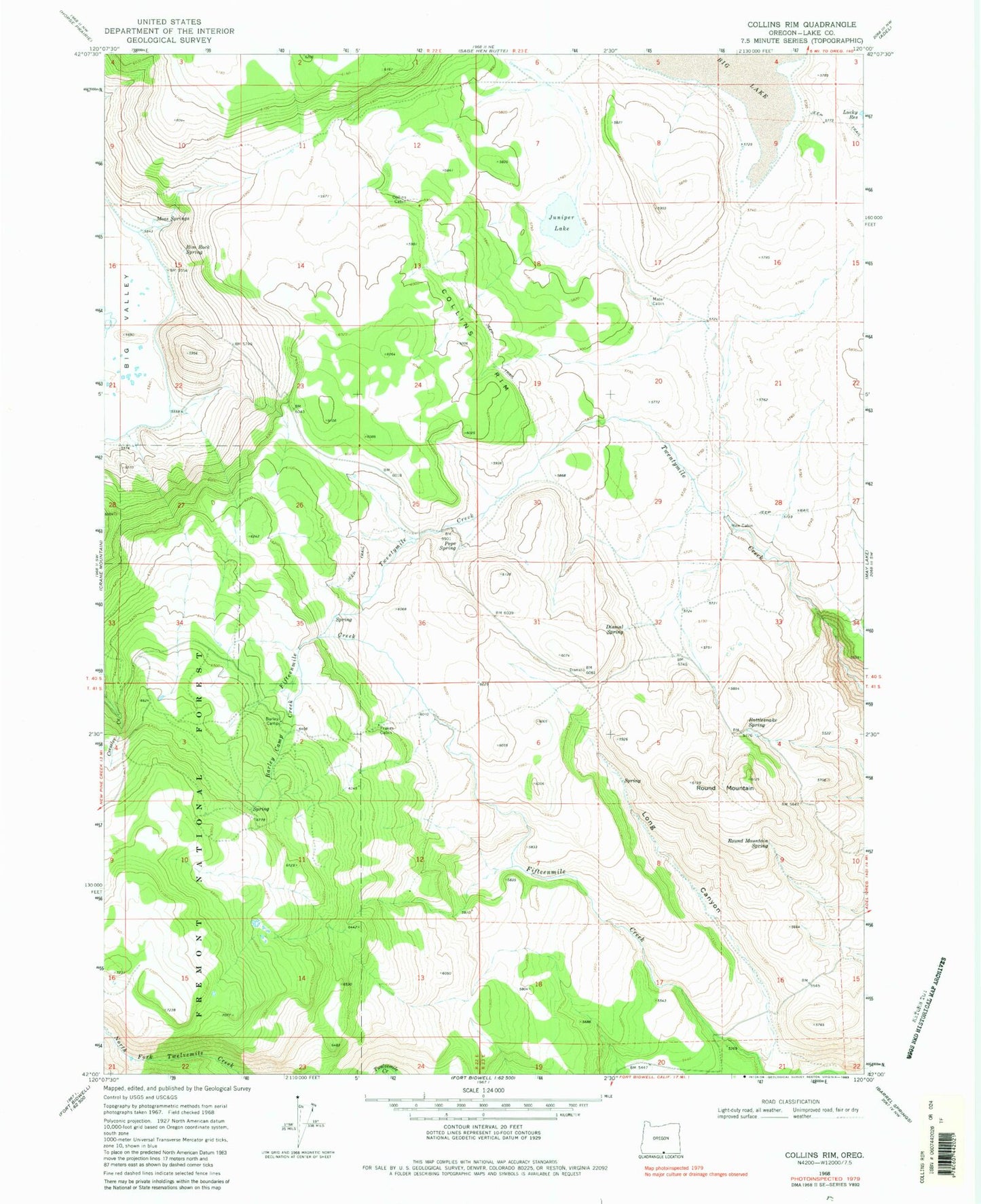
Historical USGS topographic quad map of Collins Rim in the state of Oregon. Map scale may vary for some years, but is generally around 1:24,000. Print size is approximately 24" x 27"
This quadrangle is in the following counties: Lake.
The map contains contour lines, roads, rivers, towns, and lakes. Printed on high-quality waterproof paper with UV fade-resistant inks, and shipped rolled.
Contains the following named places: Barley Camp, Barley Camp Creek, Collins Cabin, Collins Rim, Dismal Spring, Frakes Cabin, Haw Cabin, Juniper Lake, Lane Reservoir Number Four, Lane Waterhole Number Eleven, Lane Waterhole Number Twelve, Long Canyon, Mate Cabin, Moss Springs, O'Keefe Reservoir, O'Keefe Reservoir Number Four, O'Keefe Reservoir Number Six, Pope Spring, Rattlesnake Spring, Rim Rock Spring, Round Mountain, Round Mountain Spring