MyTopo
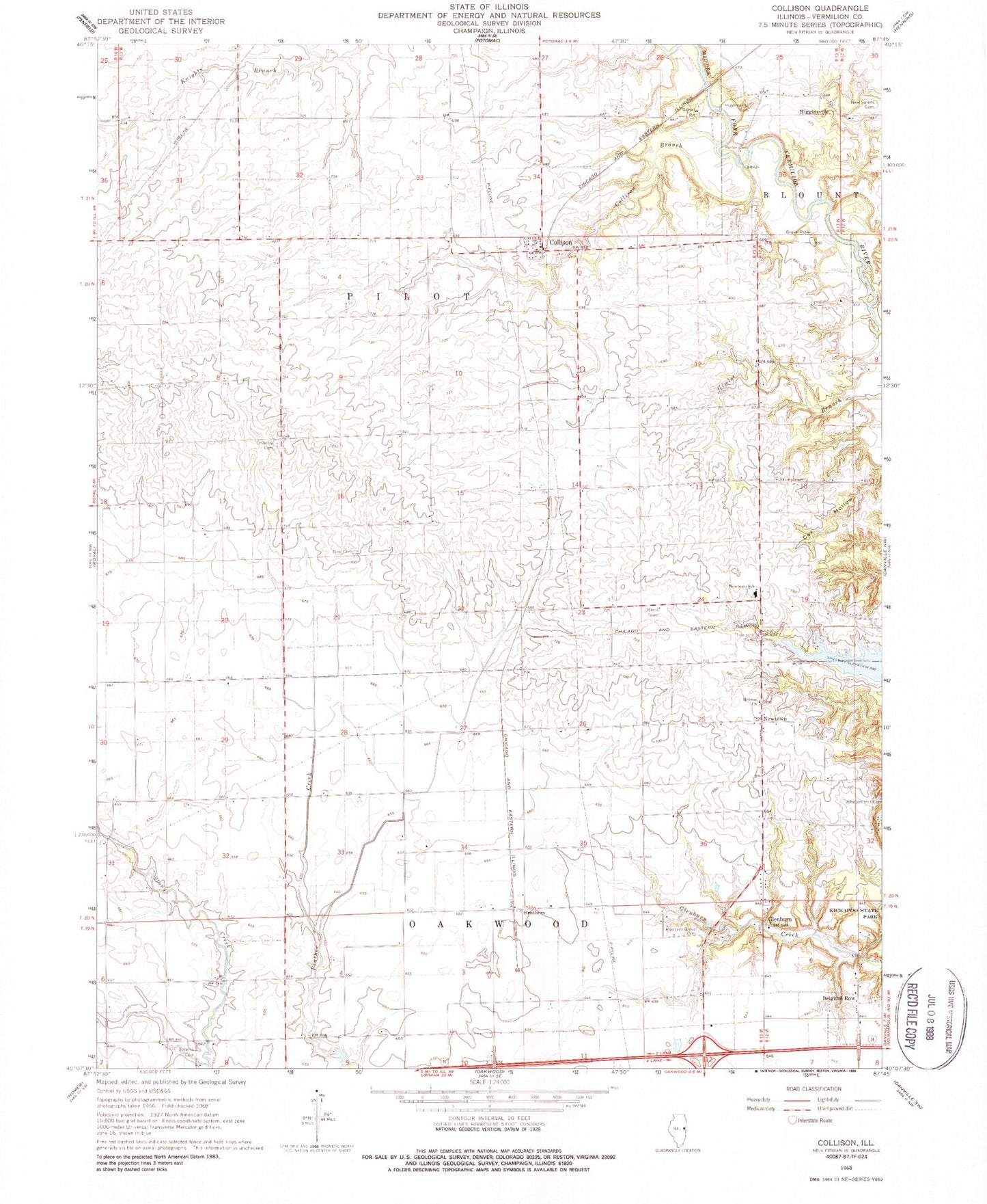
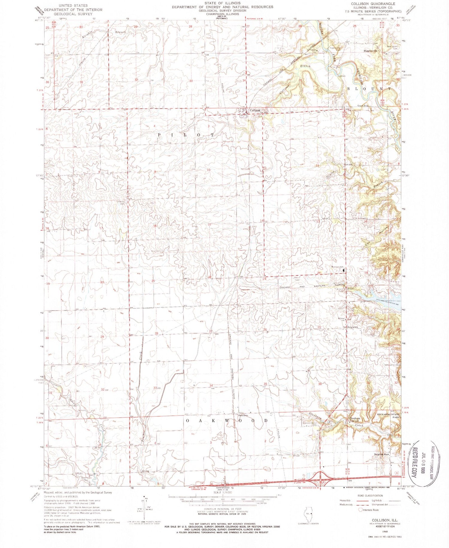
Classic USGS Collison Illinois 7.5'x7.5' Topo Map
Couldn't load pickup availability
Historical USGS topographic quad map of Collison in the state of Illinois. Map scale may vary for some years, but is generally around 1:24,000. Print size is approximately 24" x 27"
This quadrangle is in the following counties: Vermilion.
The map contains contour lines, roads, rivers, towns, and lakes. Printed on high-quality waterproof paper with UV fade-resistant inks, and shipped rolled.
Contains the following named places: Belgium Row, Brothers, Collison, Collison Airport, Collison Branch, Collison Cemetery, Collison Post Office, Corner Chapel, Creig School, Dalbey School, Emberry Church, Embury Cemetery, Fowler School, Glenburn, Gorman School, Hebron United Methodist Church, Higginsville, Higginsville Cemetery, Horseshoe Bottom Nature Preserve, Illinois Power Company Lake, Independent School, Johnson Hill Cemetery, New Salem Cemetery, Newtown, Newtown Middle School, Pilot School, Pleasant Grove Cemetery, Pleasant Grove School, Porter Cemetery, Red Oak School, Rice Cemetery, Sandbar School, Shellbark School, Snider School, Stearns Cemetery, Stump Cemetery, Township of Oakwood, Township of Pilot, Trimmell Cemetery, Welcom School, WIAI-FM (Danville), ZIP Codes: 61831, 61844, 61858


