MyTopo
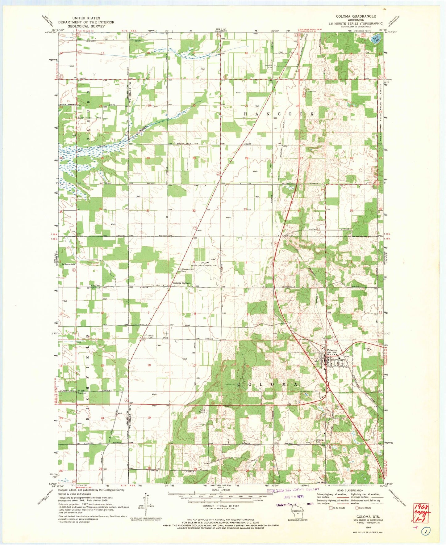
Classic USGS Coloma Wisconsin 7.5'x7.5' Topo Map
Couldn't load pickup availability
Historical USGS topographic quad map of Coloma in the state of Wisconsin. Map scale may vary for some years, but is generally around 1:24,000. Print size is approximately 24" x 27"
This quadrangle is in the following counties: Adams, Waushara.
The map contains contour lines, roads, rivers, towns, and lakes. Printed on high-quality waterproof paper with UV fade-resistant inks, and shipped rolled.
Contains the following named places: Calvary United Methodist Church, Coloma, Coloma Corners, Coloma Elementary School, Coloma Fire Department, Coloma Municipal Airport, Coloma Police Department, Coloma Post Office, Deer Lake, DeGeorge School, Fish Cemetery, Hancock Cemetery, Pleasant Hill Cemetery, Rox Airport, Town of Coloma, Town of Hancock, Village of Coloma, Waushara County Emergency Medical Services Coloma Division, White Cemetery, ZIP Code: 54930