MyTopo
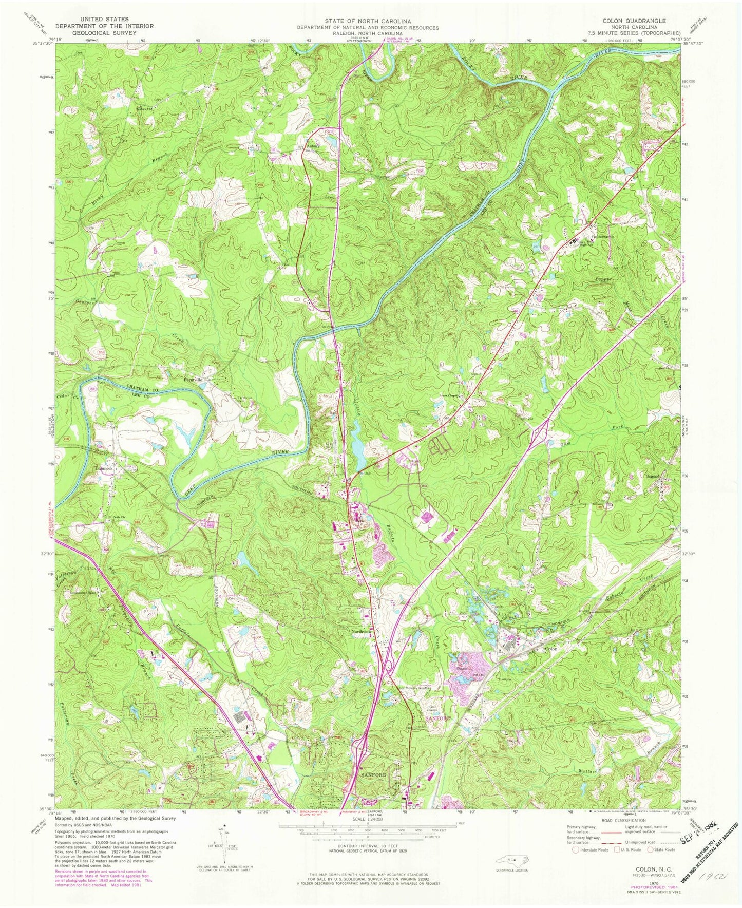
Classic USGS Colon North Carolina 7.5'x7.5' Topo Map
Couldn't load pickup availability
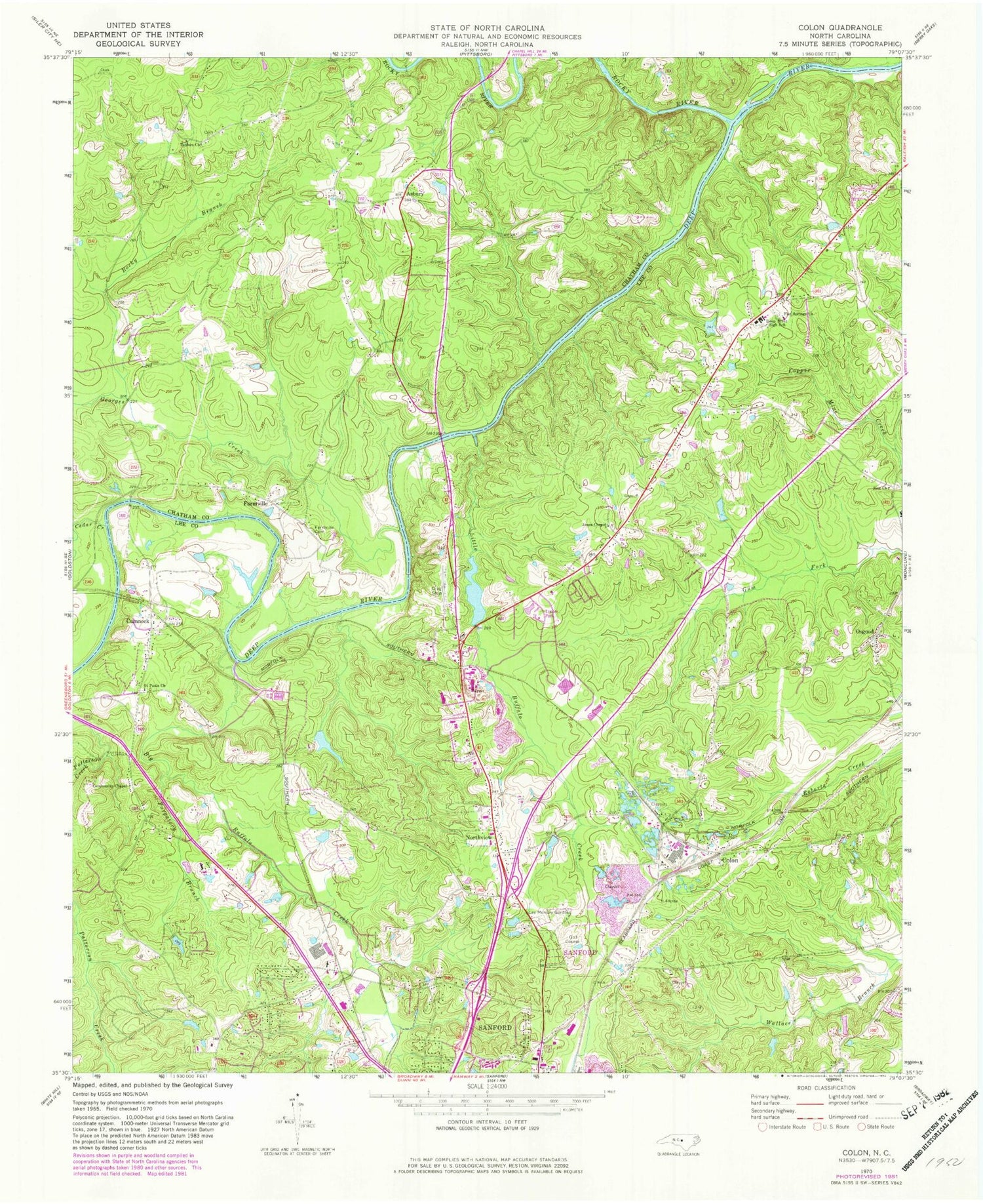
Historical USGS topographic quad map of Colon in the state of North Carolina. Typical map scale is 1:24,000, but may vary for certain years, if available. Print size: 24" x 27"
This quadrangle is in the following counties: Chatham, Lee.
The map contains contour lines, roads, rivers, towns, and lakes. Printed on high-quality waterproof paper with UV fade-resistant inks, and shipped rolled.
Contains the following named places: Asbury, Big Buffalo Creek, Cedar Creek, Deep River High School, Farmville Cemetery, Flat Springs Church, Georges Creek, Jones Chapel, Lee Memory Gardens Cemetery, Little Buffalo Creek, Osgood, Purgatory Branch, Rocky Branch, Rocky Branch, Rocky River, Saint Pauls Church, Taylors Church, Holiday Lake Dam Lower, Sky View Lake Dam, Sky View Lake, Bright Pond Dam, Bright Pond, Highland Acres, Hidden Valley, Cool Springs Estates, Nob Hill, Holly Hills, Wildwood, Glenwood Village, Hawkins Run, Forest Hills, Green Valley Estates, Stoneybrook, Colon, Cumnock, Farmville, Northview, Township of Oakland, Township 5-East Sanford, Township 6-West Sanford, State of North Carolina, Deep River Rural Fire Department, Northview Fire Department, West Sanford Rural Volunteer Fire Department, Moretz Riverside Landing


