MyTopo
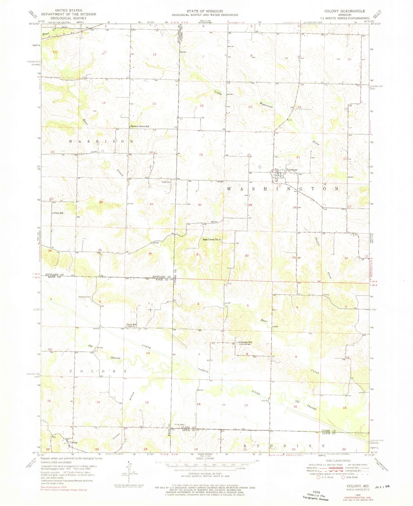
Classic USGS Colony Missouri 7.5'x7.5' Topo Map
Couldn't load pickup availability
Historical USGS topographic quad map of Colony in the state of Missouri. Map scale may vary for some years, but is generally around 1:24,000. Print size is approximately 24" x 27"
This quadrangle is in the following counties: Clark, Knox, Lewis, Scotland.
The map contains contour lines, roads, rivers, towns, and lakes. Printed on high-quality waterproof paper with UV fade-resistant inks, and shipped rolled.
Contains the following named places: Arkansas School, Bailey Cemetery, Bear Creek Church, Bear Creek Watershed Dam D-1, Bear Creek Watershed Dam D-2, Bear Creek Watershed Dam D-25, Bear Creek Watershed Structure F-1 Dam, Bear Creek Watershed Structure F-20 Dam, Clapp's Ford, Clark F-20 Lake, Colony, Colony Cemetery, D-25 Lake, Davis School, Fairmont, Fairmont Census Designated Place, Hines Airport, Narrow Grove School, Price School, Shaffer Creek, Standiford Cemetery, Sutter Cemetery, Tanyard School, Township of Washington, Vernon Branch, ZIP Code: 63474