MyTopo
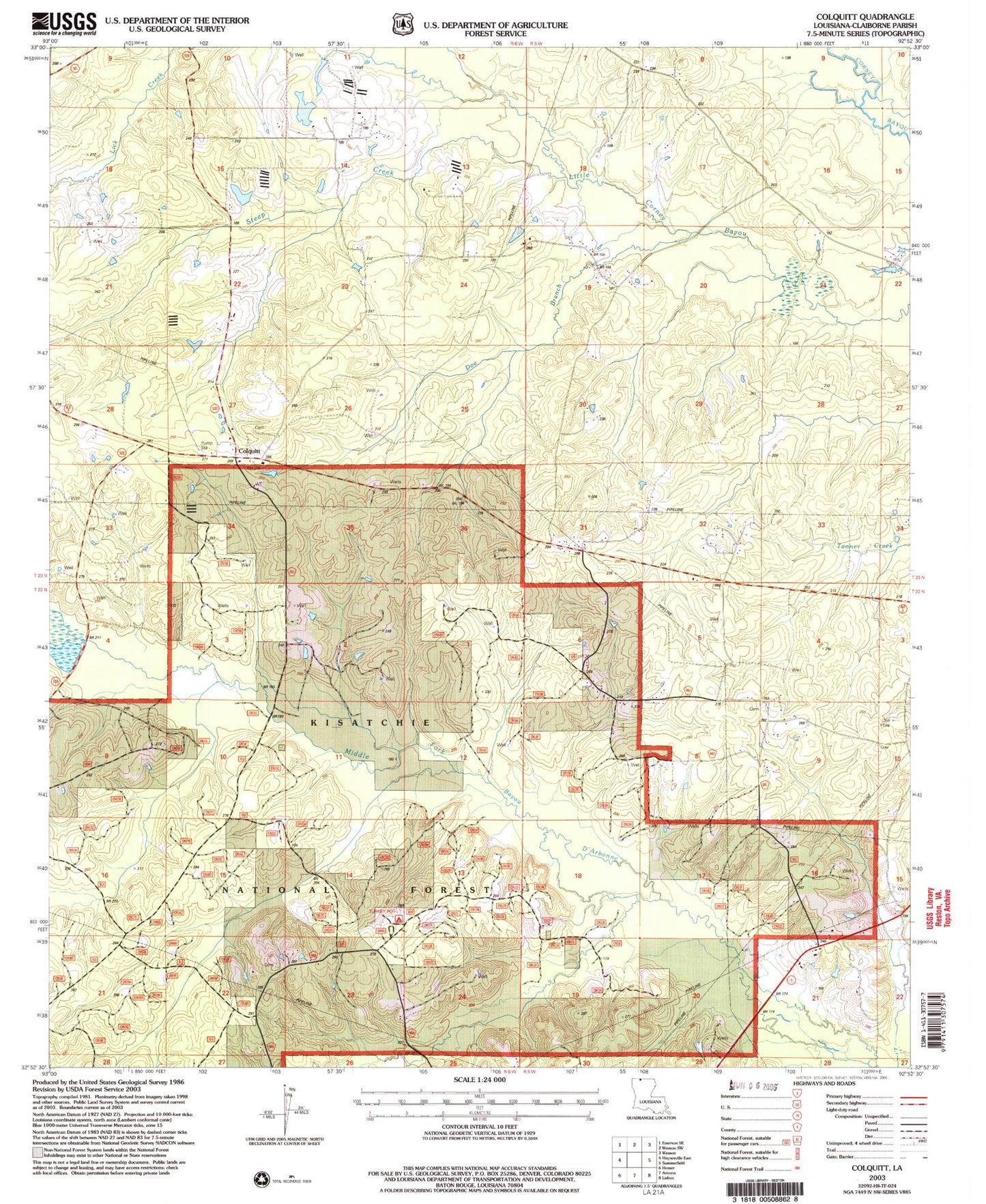
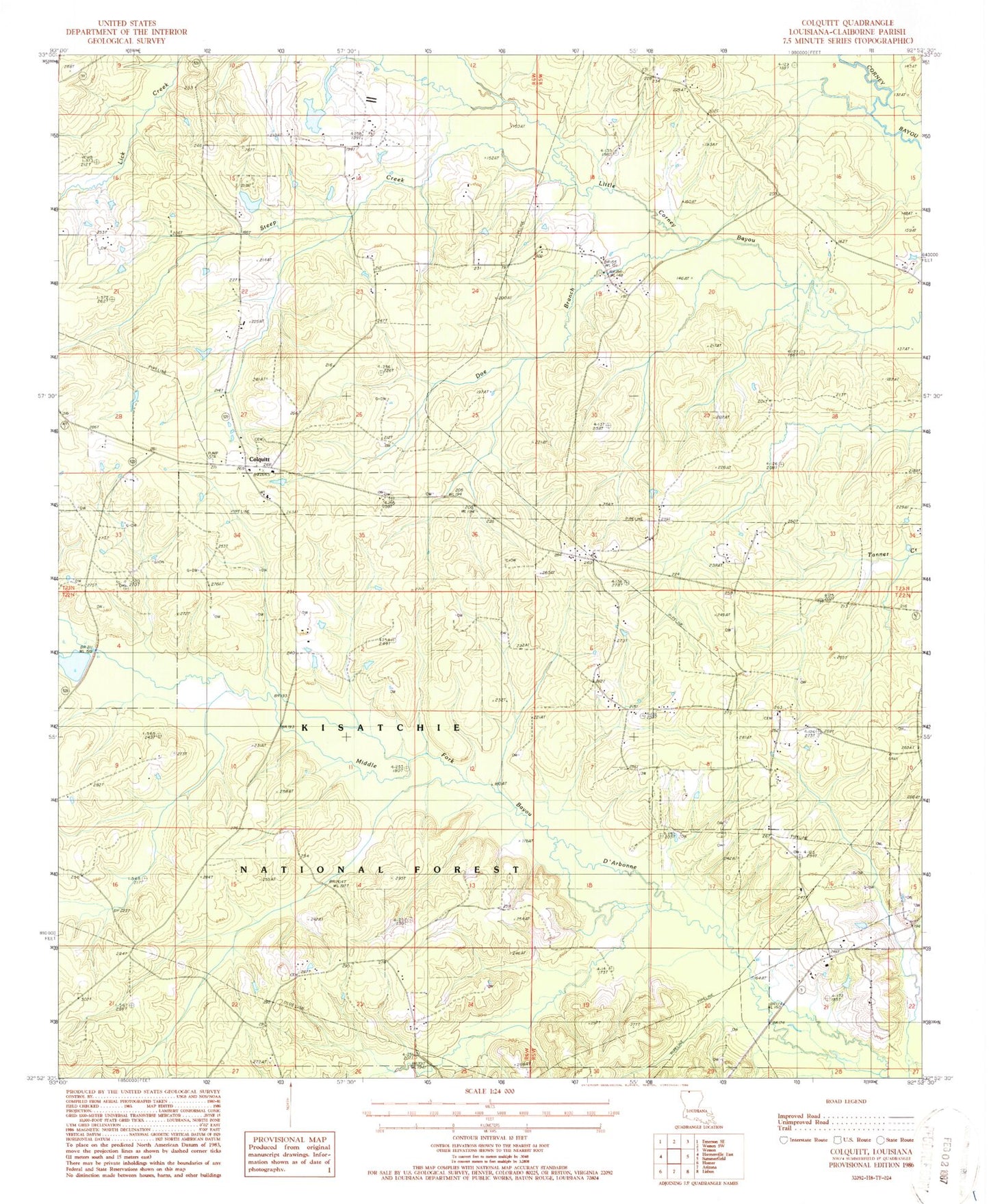
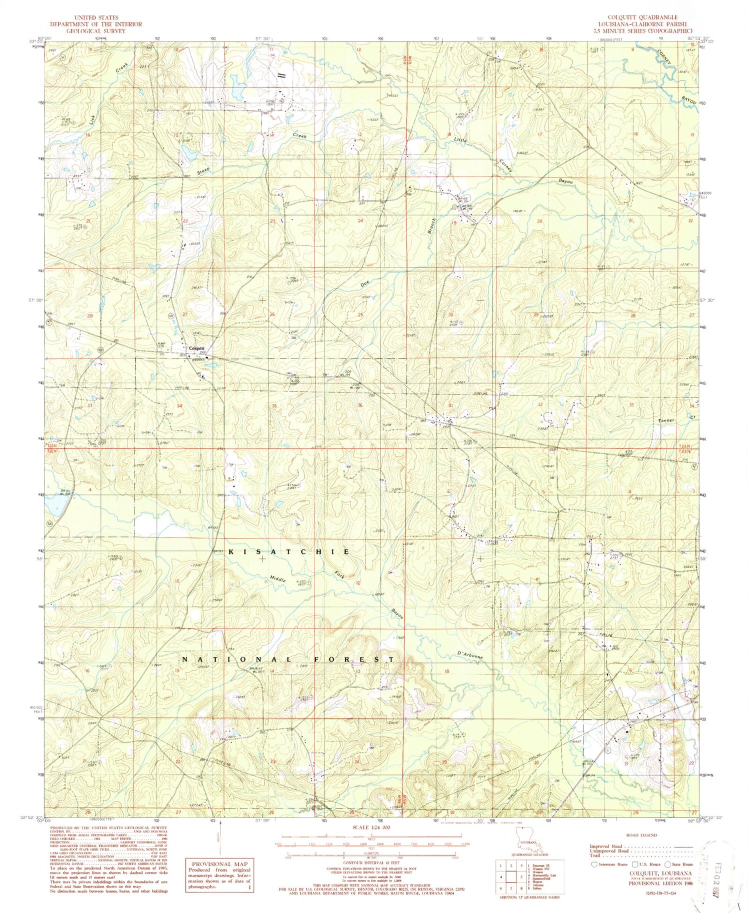
Classic USGS Colquitt Louisiana 7.5'x7.5' Topo Map
Couldn't load pickup availability
Historical USGS topographic quad map of Colquitt in the state of Louisiana. Map scale may vary for some years, but is generally around 1:24,000. Print size is approximately 24" x 27"
This quadrangle is in the following counties: Claiborne.
The map contains contour lines, roads, rivers, towns, and lakes. Printed on high-quality waterproof paper with UV fade-resistant inks, and shipped rolled.
Contains the following named places: Antioch Oil and Gas Field, Claiborne Parish Fire District 6 Baileytown Station, Colquitt, Colquitt Cemetery, Colquitt Oil Field, Doe Branch, Monk Cemetery, Mount Sinai Church, Mount Sinai Oil Field, Mount Sinai School, Northwest Antioch Gas Field, Saint Paul Church, Speers Pond Dam, Steep Creek, Summerfield Oil Field, Tiger Creek, Turkey Pot Campground