MyTopo
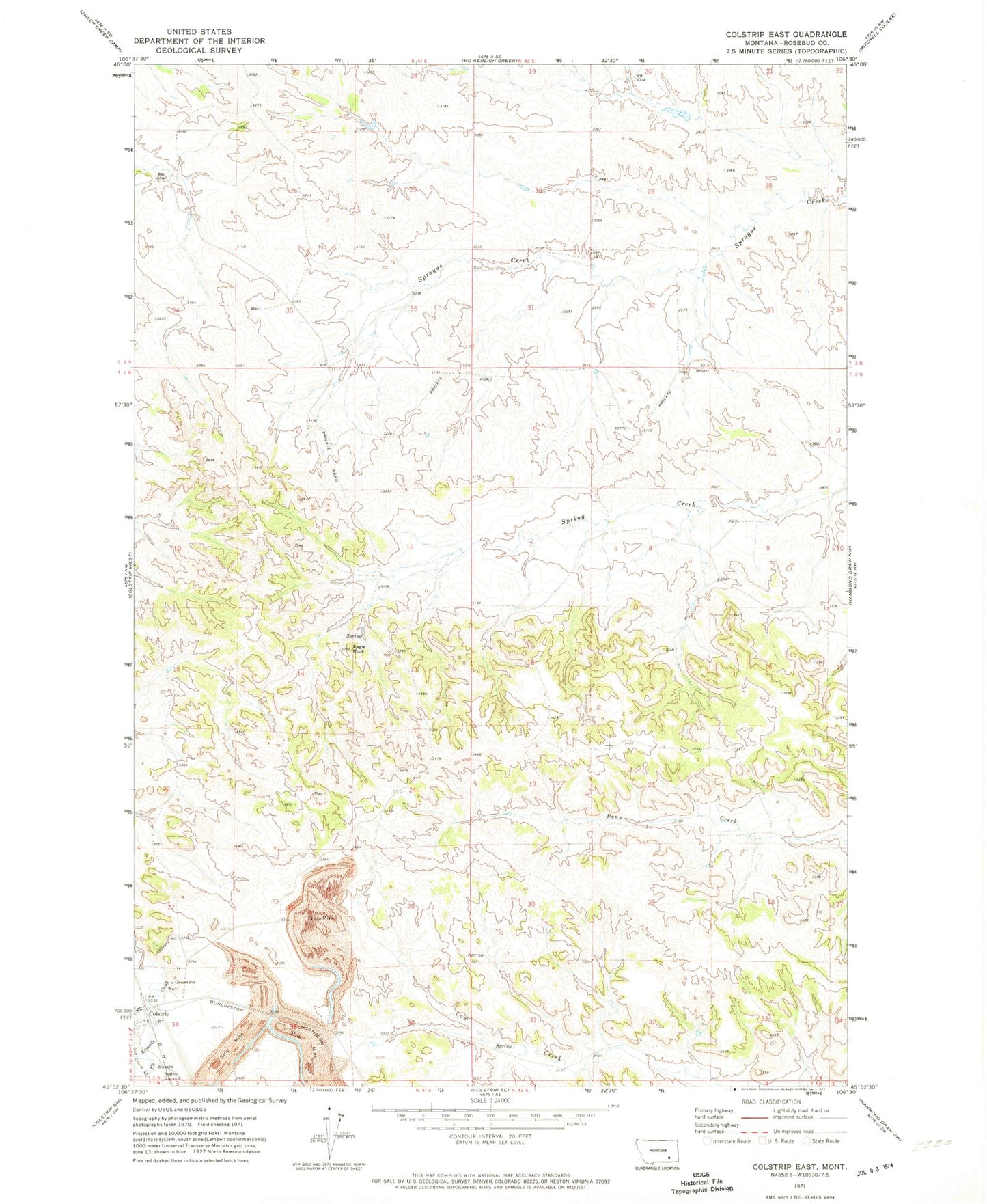
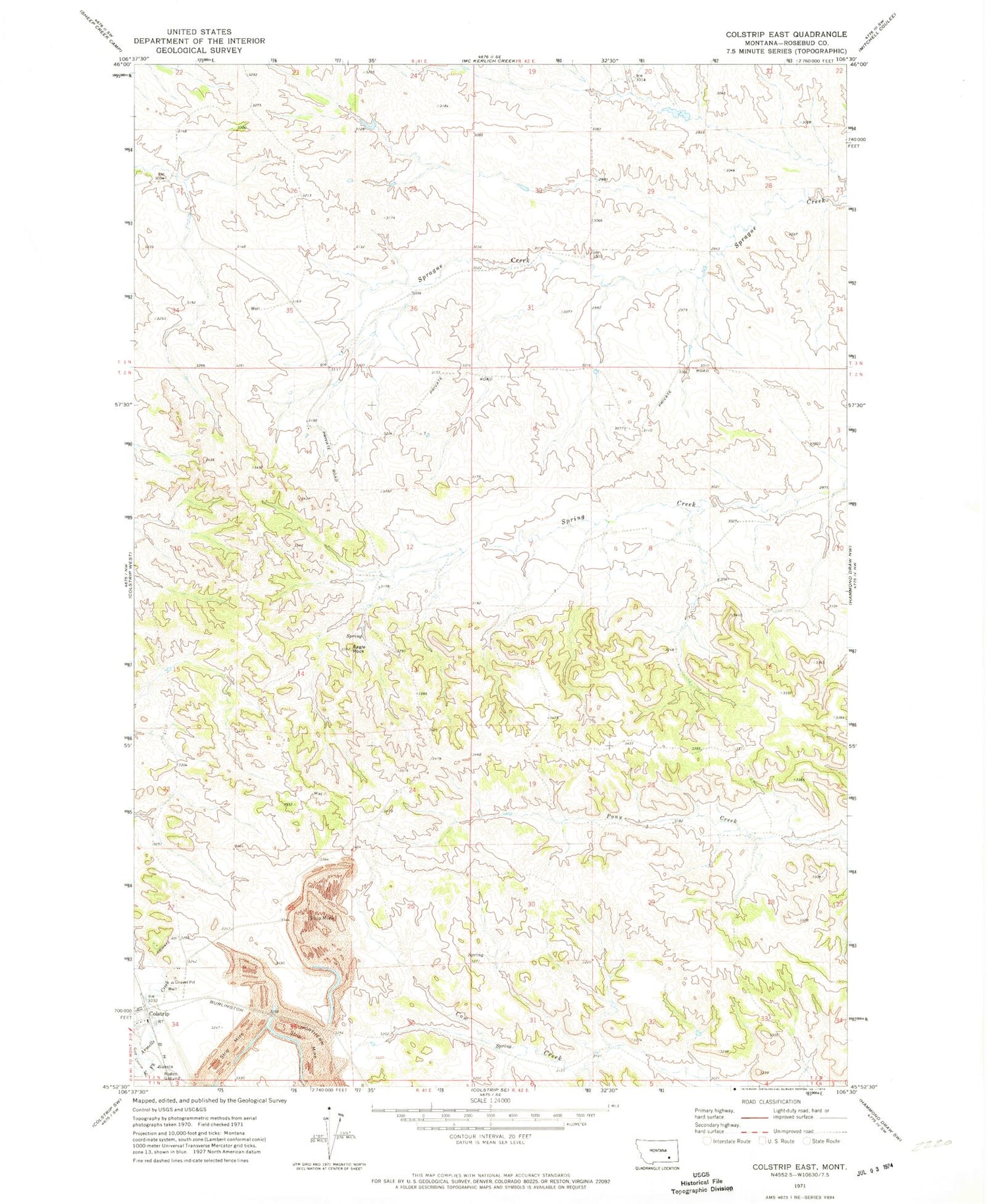
Classic USGS Colstrip East Montana 7.5'x7.5' Topo Map
Couldn't load pickup availability
Historical USGS topographic quad map of Colstrip East in the state of Montana. Map scale may vary for some years, but is generally around 1:24,000. Print size is approximately 24" x 27"
This quadrangle is in the following counties: Rosebud.
The map contains contour lines, roads, rivers, towns, and lakes. Printed on high-quality waterproof paper with UV fade-resistant inks, and shipped rolled.
Contains the following named places: 02N41E01DBBA01 Well, 02N41E02DBBA01 Well, 02N41E08ACCD01 Well, 02N41E12CCAD01 Well, 02N41E24CAAA01 Well, 02N41E24CAAB01 Well, 02N41E34BADC01 Well, 02N41E35CCAD01 Well, 02N41E35DABD01 Well, 02N41E35DABD02 Well, 02N42E04DACA01 Well, 02N42E06CBCD01 Well, 02N42E20CDAD01 Well, 02N42E31CAAA01 Well, 02N42E31DDDD01 Well, 02N42E34DDAD01 Well, 02S41E24CAAA01 Well, 03N41E34BCAB01 Well, 03N41E35CBAA01 Well, 03N42E32C___01 Well, Big Timber Park, Colstrip, Colstrip Cemetery, Court Park, Eagle Rock, Hopsonville, Hopsonville Post Office, Obert Rye Park, Piedmont Park, Pony Creek School, Prospector Park, Rosebud Division, South Park, Stillwater Park, Sunnyside School


