MyTopo
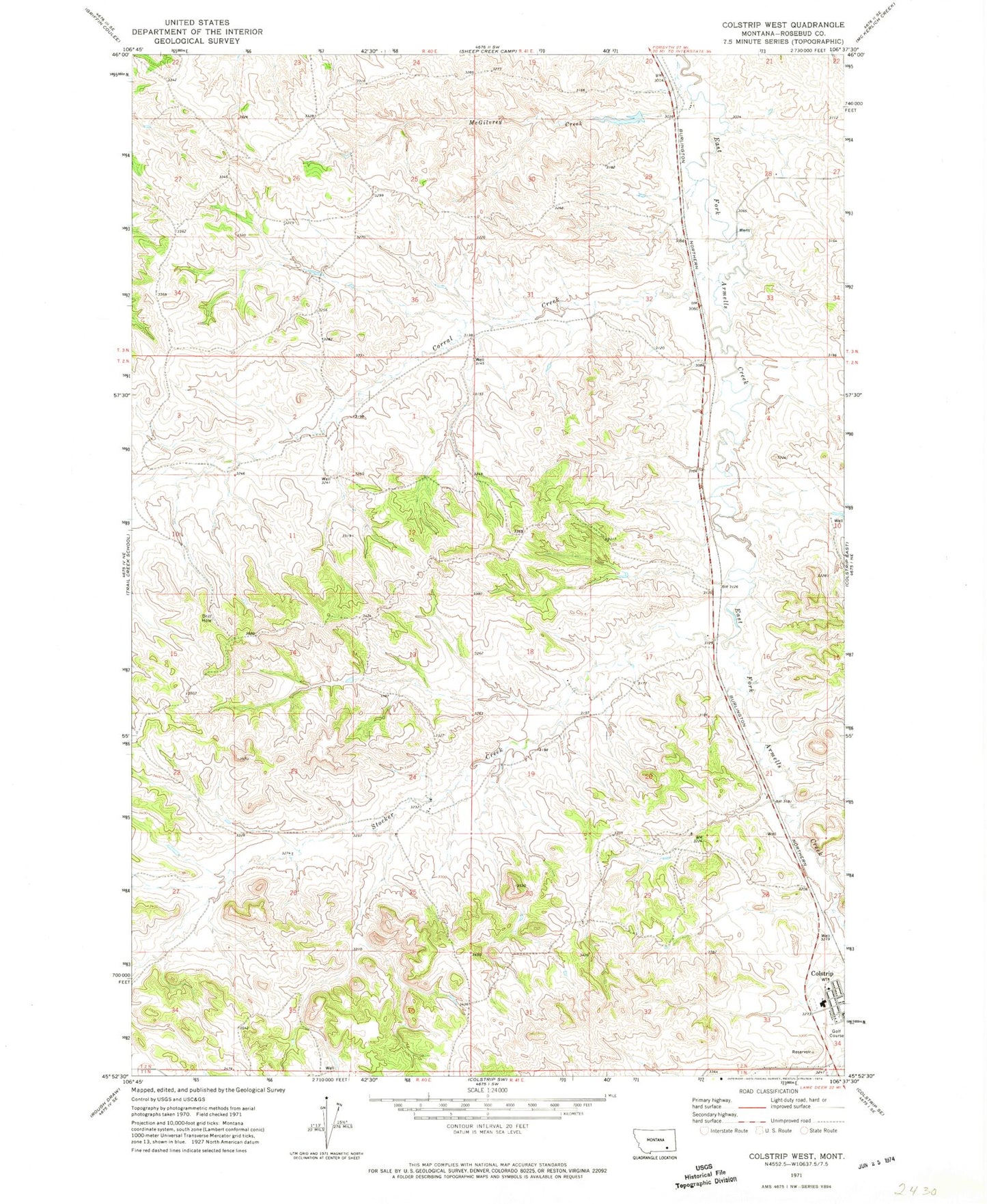
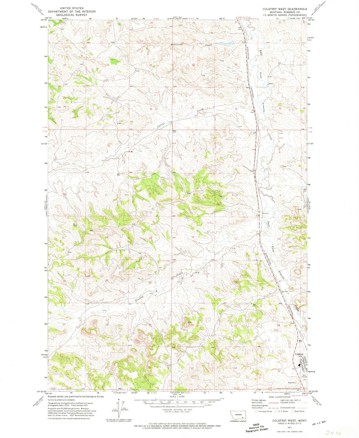
Classic USGS Colstrip West Montana 7.5'x7.5' Topo Map
Couldn't load pickup availability
Historical USGS topographic quad map of Colstrip West in the state of Montana. Map scale may vary for some years, but is generally around 1:24,000. Print size is approximately 24" x 27"
This quadrangle is in the following counties: Rosebud.
The map contains contour lines, roads, rivers, towns, and lakes. Printed on high-quality waterproof paper with UV fade-resistant inks, and shipped rolled.
Contains the following named places: 02N40E01AAAA01 Well, 02N40E02DACB01 Well, 02N40E11AABA01 Well, 02N40E17ADAD01 Spring, 02N40E35DDCD01 Well, 02N41E08CCD_01 Well, 02N41E10BCBC01 Well, 02N41E17ABCD01 Well, 02N41E17ADAA01 Well, 02N41E20DDDC01 Well, 02N41E21BADB01 Well, 02N41E21CADA01 Well, 02N41E21CDDD01 Well, 02N41E28AAAC01 Well, 02N41E28AACA01 Well, 02N41E30DDAA01 Well, 02N41E33DAAA01 Well, 02N41E33DAAA02 Well, 02N41E33DAAA03 Well, 02N41E34BBCC01 Well, 02N41E34BCDC01 Well, 03N41E28CCDD01 Well, 03N41E34CCCD01 Spring, 59323, Antelope Park, Bicentennial Library of Colstrip, Castle Rock Lake, Castle Rock Reservoir Dam, Castle Rock Saddle Dam, Christ Covenant Church, Church of Christ, City of Colstrip, Colstrip Christian and Missionary Alliance Church, Colstrip Diversion Dam, Colstrip Evaporation Pond Dam, Colstrip Fire District, Colstrip High School, Colstrip Light Industrial Park, Colstrip Medical Center, Colstrip Police Department, Colstrip Post Office, Corral Creek, Cottonwood Park, Firemans Park, First Baptist Church, Frank Brattin Middle School, Grace Baptist Church, Hollister Park, Isabel Bills Elementary School, Laramie Park, Lee Number 9 Dam, Mount Calvary Lutheran Church, North Park, Pine Butte Elementary School, Ponderosa Butte Public Golf Course, Rosebud County Ambulance Service, Rosebud County Sheriff's Office Colstrip, Saint Margaret Mary Catholic Church, Stillwater Ballfield Complex, Stocker Creek, The Church of Jesus Christ of Latter Day Saints, United Community Church, Winchester Park


