MyTopo
Classic USGS Colton New York 7.5'x7.5' Topo Map
Couldn't load pickup availability
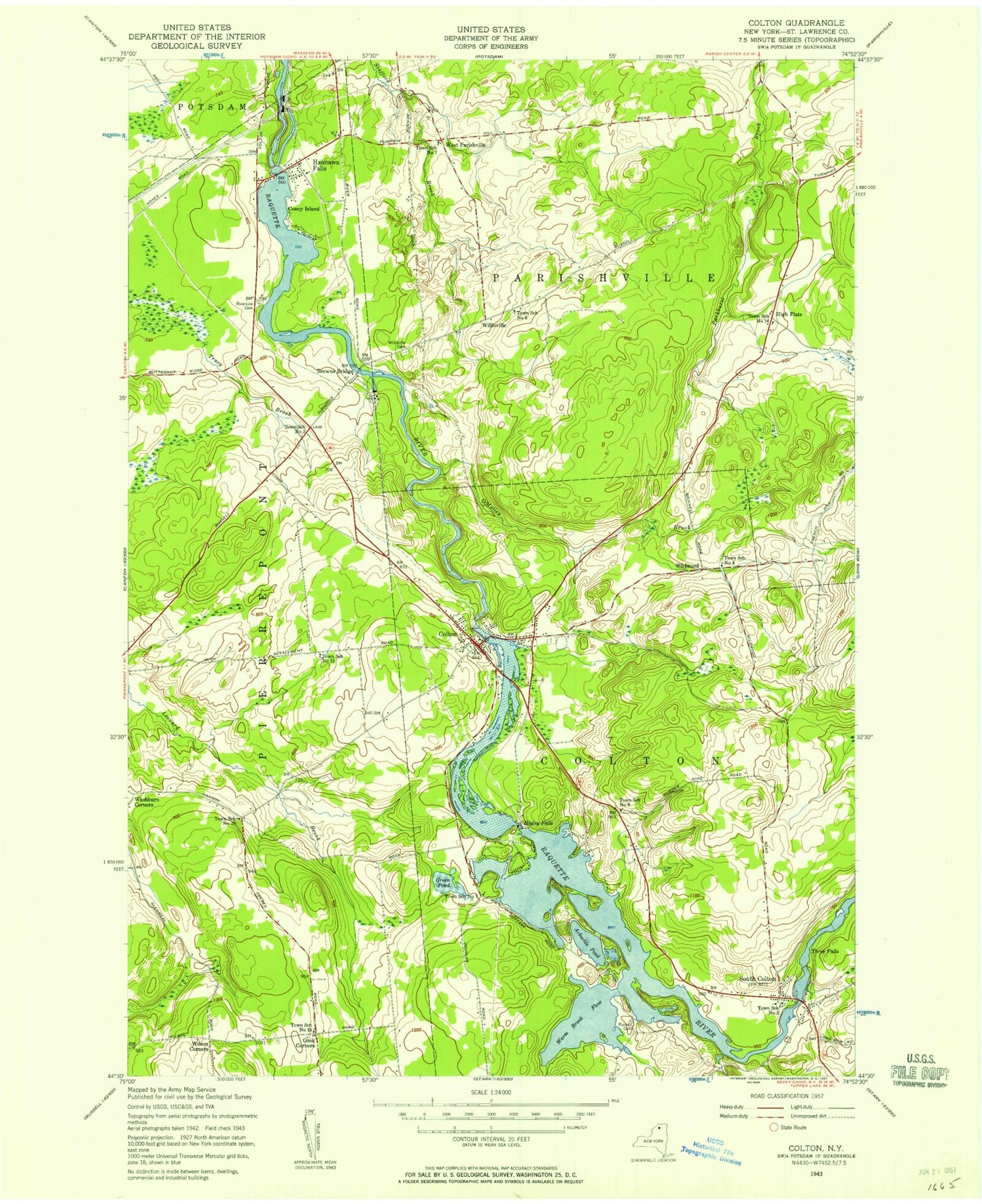
Historical USGS topographic quad map of Colton in the state of New York. Typical map scale is 1:24,000, but may vary for certain years, if available. Print size: 24" x 27"
This quadrangle is in the following counties: St. Lawrence.
The map contains contour lines, roads, rivers, towns, and lakes. Printed on high-quality waterproof paper with UV fade-resistant inks, and shipped rolled.
Contains the following named places: Cold Brook, Arbuckle Pond, Browns Bridge, Central School, Colton, Coney Island, Cooks Cemetery, Green Pond, Hannawa Falls, High Flats, Higley Falls, O'Malley Brook, Pleasant Mound Cemetery, Postwood Park, Riverside Cemetery, Russell Cemetery, Saint Lawrence State Forest Number 12, Saint Lawrence State Forest Number 28, Saint Patrick Cemetery, Saint Patrick Church, South Colton, Vebber Corners, Warm Brook, Warm Brook Flow, Washburn Corners, Little Cold Brook, West Parishville, Wildwood, Willisville, Willisville Cemetery, Wilson Corners, Three Falls, School Number 1 (historical), School Number 2 (historical), School Number 4 (historical), School Number 5 (historical), School Number 6 (historical), School Number 7 (historical), School Number 7 (historical), School Number 10 (historical), School Number 12 (historical), School Number 14 (historical), School Number 15 (historical), Colton Wesleyan Church, Zion Episcopal Church, Colton Hepburn Library, Colton Post Office, Hannawa Falls Post Office, Colton United Methodist Church, Colton Census Designated Place, Hannawa Falls Census Designated Place, Hannawa Falls Fire Department, Colton Volunteer Fire Department Company 1, Colton Volunteer Fire Department Company 2, South Colton Post Office


