MyTopo
Classic USGS Columbia NE Georgia 7.5'x7.5' Topo Map
Couldn't load pickup availability
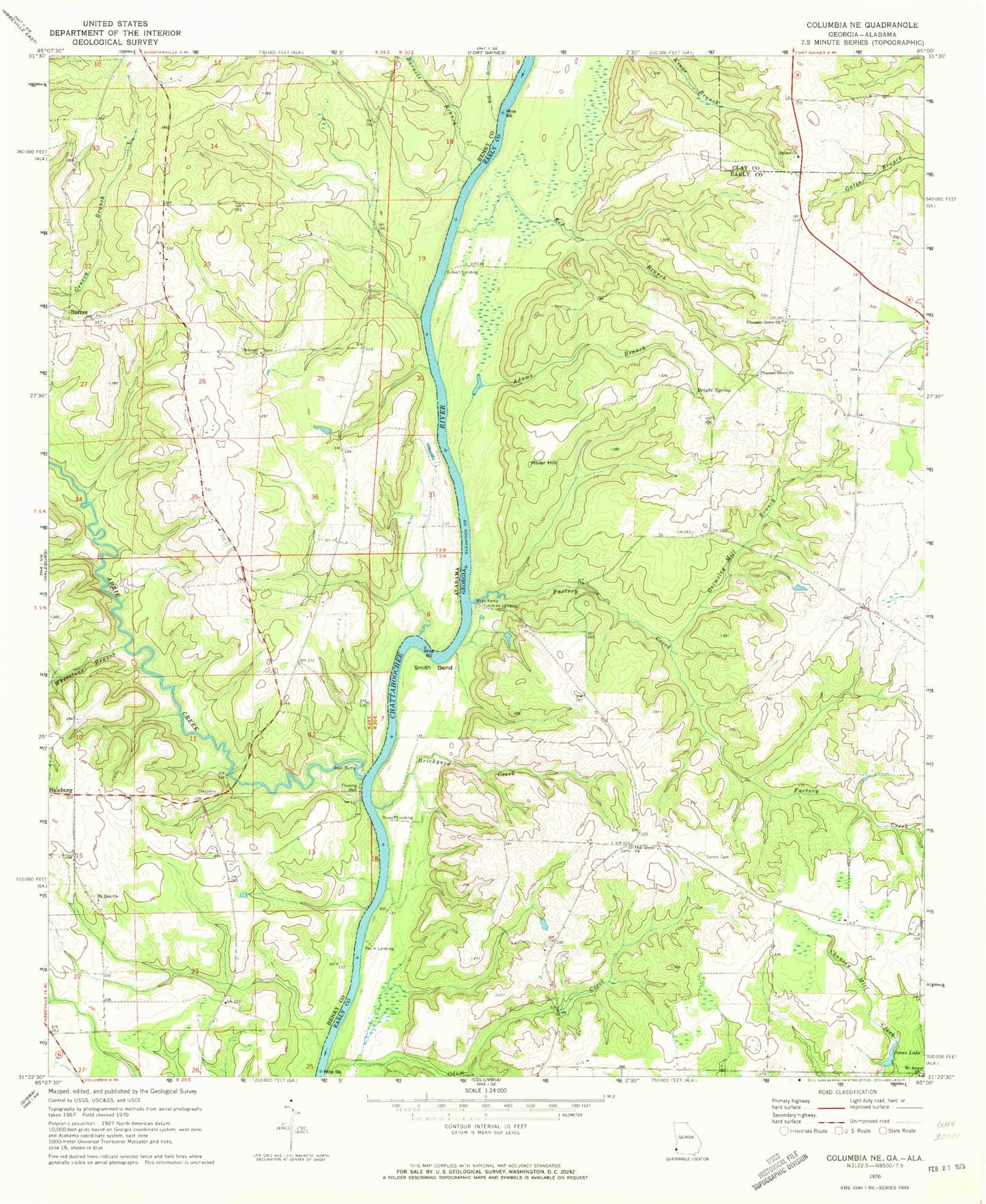
Historical USGS topographic quad map of Columbia NE in the states of Georgia, Alabama. Map scale may vary for some years, but is generally around 1:24,000. Print size is approximately 24" x 27"
This quadrangle is in the following counties: Clay, Early, Henry.
The map contains contour lines, roads, rivers, towns, and lakes. Printed on high-quality waterproof paper with UV fade-resistant inks, and shipped rolled.
Contains the following named places: Abbie Creek, Abbie Creek Public Use Area, Adams Branch, Barnes, Barnett Branch, Bellevue Church, Bethel Baptist Church Cemetery, Bethel Church, Brickyard Creek, Bright Spring, Coates Airport, Factory Creek, Felder Lake, Felder Lake Dam, Gilbert Landing, Grimsley Mill, Grimsley Mill Branch, Harp Branch, Hollimans and O'Neals Mill, Hutchins Landing, Jones Lake, Judy Branch, McKissacks Ferry, Mount Ararat Church, Mount Zion Church, Oak Grove Church, Paulk Landing, Pleasant Grove Cemetery, Pleasant Grove Church, Powell Landing, Red Branch, River Hill, Sardis Cemetery, Sardis Church, Sardis School, Sawyer Farm Airport, Smith Bend, Urquhart, Whetstone Branch